Cat Mountain Day Hike from Edgecomb Pond
Cat Mountain was the final, southbound hike in my three-day Adirondacks day-hiking trip, after Mount Van Hoevenberg and Giant Mountain with Rocky Peak Ridge.
Hike Snapshot
| Location | Cat and Thomas Mountains trail system, Lake George Wild Forest, Bolton, New York |
|---|---|
| Route Type | Out and Back from Edgecomb Pond |
| Direct Route | Red Trail, then the Blue Trail to Cat Mountain, returning the same way |
| Mapped Distance | 3.4 mi |
| Mapped Elevation Gain / Loss | +1,150 ft / -1,150 ft |
| Summit Elevation | 1,956 ft |
| Difficulty | Moderate, with rolling middle terrain and a steeper but manageable final climb |
| Firsthand Time | About 2.5 hours, including roughly 20 minutes at the summit |
| Trip Date | Late July 2026 |
| Group | Solo |
| Trail Surface | Dirt and roots, with no significant scrambling on the route I used |
| Best For | A relatively short Lake George hike with a pleasant pond approach and a broad summit view |
Scope of this guide: The route and facilities describe my late July 2026 hike. Trail conditions, parking, restroom availability, access, and land-use rules can change. Check the Lake George Land Conservancy’s Cat and Thomas Mountains page and the DEC Lake George Wild Forest page for your dates.
Overview
Cat Mountain from Edgecomb Pond is a worthwhile, relatively short Lake George hike with a photogenic start, a quiet wooded climb, and a broad summit view.
I hiked this route solo on the final morning of a two-night Adirondacks road trip. It fit the logistics well: I started around 9:00 a.m., finished around 11:30 a.m., and still had most of the drive back toward New York City ahead of me.
The hike begins gently beside Edgecomb Pond, rolls through the woods, and saves its steepest climbing for the final approach to Cat Mountain. The surface was mostly dirt and roots. Nothing on my route required significant scrambling, though the last ascent felt like a real climb.
My legs were sore from hiking Giant Mountain and Rocky Peak Ridge the day before, so Cat Mountain probably felt harder to me than it would have on fresh legs. Even with that context, it remained manageable and worked especially well as a supporting hike within a larger trip.
Route Map
The embedded CalTopo map shows the 3.4-mile direct out-and-back from Edgecomb Pond to Cat Mountain that matches my hike, with a mapped +1,150 ft / -1,150 ft. Use the current LGLC preserve map alongside it for the Red-to-Blue junctions and the wider trail network.
GPX note: The download contains the mapped direct out-and-back from Edgecomb Pond to Cat Mountain. CalTopo added elevation samples, but the file has no timestamps, so treat it as a route reference rather than an activity record or current conditions report.
Route scope: This guide covers the direct out-and-back from Edgecomb Pond. LGLC describes the route as 1.9 miles one way: 0.7 mile on the Red Trail, then 0.7 mile and 0.4 mile on the Blue Trail. CalTopo measures the exact mapped line used here at 3.44 miles round trip, so the Snapshot displays 3.4 miles.
Edgecomb Pond Trailhead and Parking
| Official Trailhead | Cat and Thomas Mountains Preserve, Edgecomb Pond Road, Bolton, NY 12814 |
|---|---|
| Nearest Town | Bolton Landing |
| Parking Area | Town of Bolton gravel lot; current LGLC data estimates approximately 10 spaces |
| Land and Trail Management | New York State Adirondack Forest Preserve, with LGLC trail stewardship under an agreement with DEC |
| Fee | DEC lists Lake George Wild Forest recreation as free; parking was free during my visit |
| Access | DEC lists Lake George Wild Forest as open for recreation year-round |
| Route Type | Direct out and back on the Red Trail and Blue Trail |
What I found: This was an actual parking lot rather than roadside parking. I arrived before 9:00 a.m. on a Sunday and found one other car; several more were present when I returned. The lot appeared to hold more than ten cars, but that is an estimate rather than an official capacity.
Restroom note: A portable toilet was present in late July 2026. I did not find an official source confirming that it is permanent or available year-round, so do not make it the basis of your plan.
Walking Along Edgecomb Pond
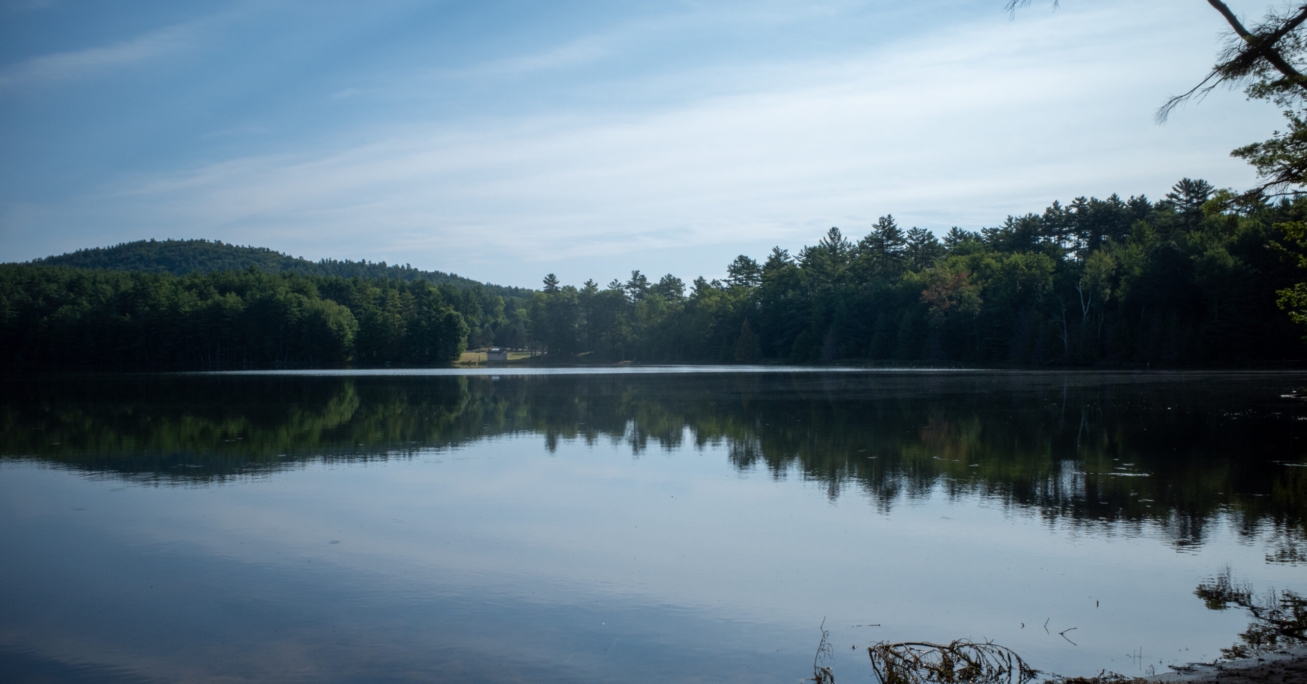
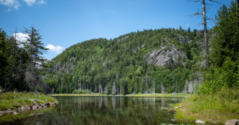
The flat dirt-road approach beside Edgecomb Pond gives this short hike a more memorable opening than a routine walk into the woods.
From the parking area, the red trail follows a dirt road past Edgecomb Pond. This first section was nearly flat and easy to settle into, with the water close enough to remain a strong part of the experience rather than a brief trailhead glimpse.
Edgecomb Pond was one of the most photogenic parts of my hike. It is also the drinking-water source for Bolton Landing, according to LGLC. New York’s source-water rules for the Bolton Water District prohibit bathing and swimming in the pond, so treat the shoreline as protected infrastructure as well as scenery and follow all posted restrictions.
The Red Trail continues along the pond toward a gate and the junction for the direct summit branch. This is the first place where studying the current map in advance makes the route feel simpler on the ground.
Route Guide to Cat Mountain
The direct route follows the Red Trail past Edgecomb Pond, then uses two left turns on the Blue Trail to reach Cat Mountain.
- Leave the Edgecomb Pond Road lot on the Red Trail and follow the dirt road beside the pond.
- After about 0.7 mile, turn left onto the Blue Trail and follow it for about another 0.7 mile.
- At the T-junction, turn left and remain on the Blue Trail for roughly 0.4 mile to Cat Mountain.
- Return to Edgecomb Pond and the parking lot by reversing the same route.
After leaving the pond, the route entered the woods and moved through moderate rolling terrain. The final ascent was noticeably steeper, but it remained a walking trail rather than a scramble. Most of the footing I remember was dirt and roots.
Routes from Valley Woods Road and connections via Thomas Mountain can reach the same trail system from other directions. Their mileage and difficulty should not be mixed into this direct Edgecomb Pond guide.
Junctions and Navigation
The terrain is straightforward, but the connected trail network makes an offline map more useful here than the short mileage might suggest.
I encountered several junctions, and at least one appeared to show the same red marker in more than one direction. I never became lost, but I checked the route rather than treating the color alone as a complete instruction.
Review the current LGLC preserve map before leaving cell service and save the route in a form you can use offline. LGLC’s current directions use the Red Trail from Edgecomb Pond, followed by left turns onto and along the Blue Trail; use the mapped junctions and destination rather than relying only on marker color.
A wrong branch may place you on another established trail toward the Blue Trail, Thomas Mountain, or Valley Woods Road rather than taking you off trail. That does not mean every branch returns safely or efficiently to the same place. Confirm your position before continuing.
Cat Mountain Summit
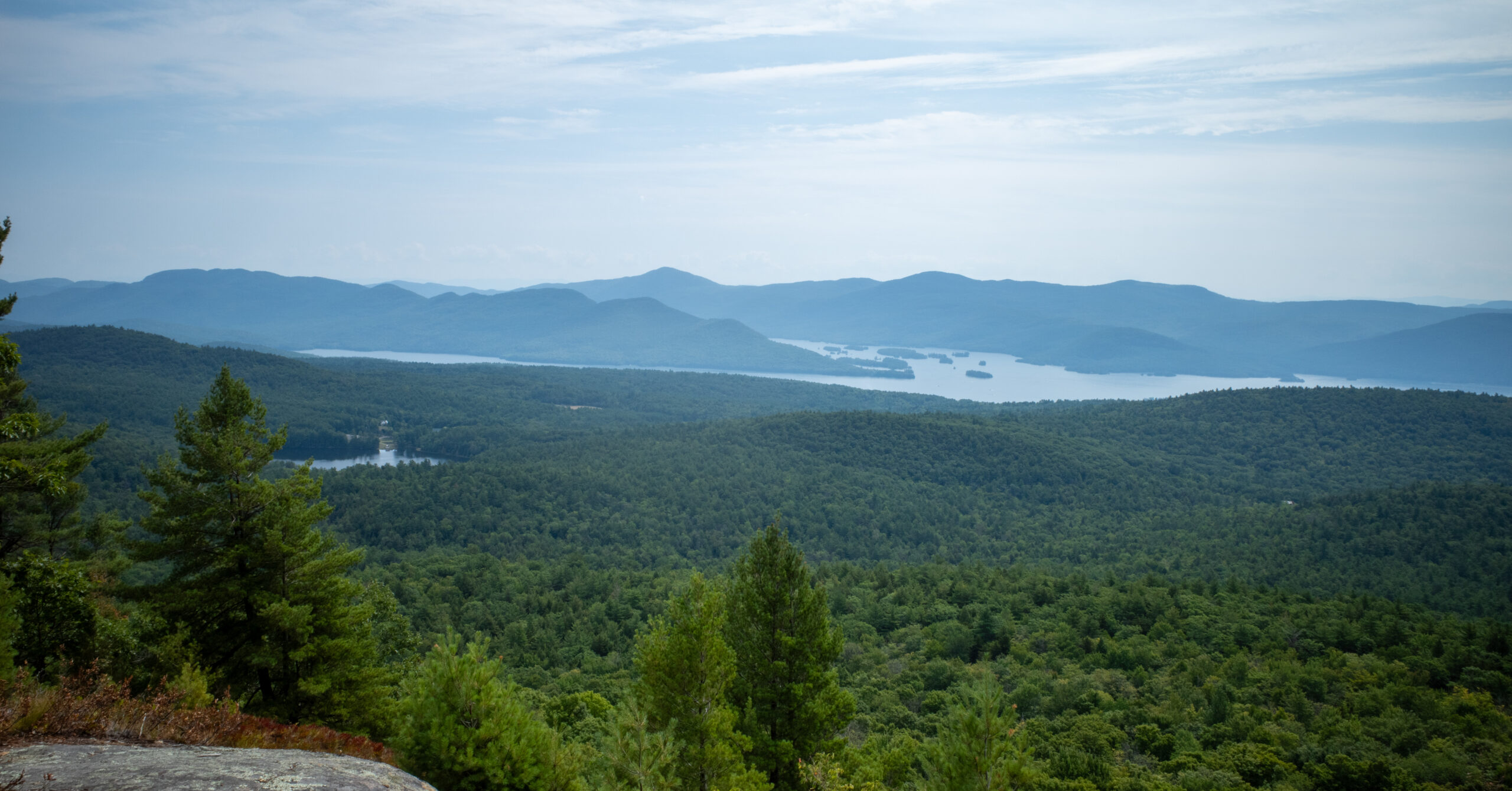
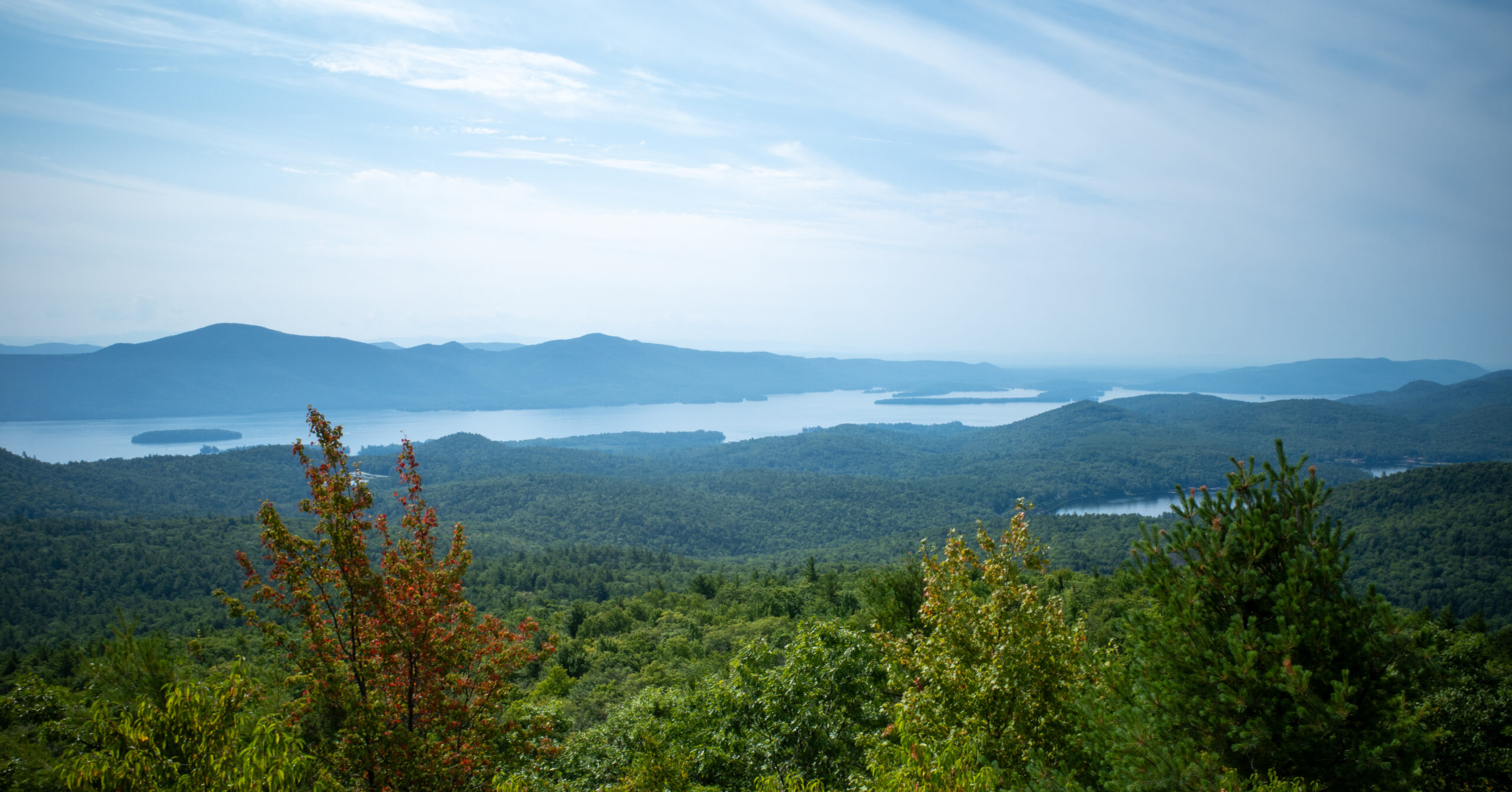
Broad exposed rock, room to spread out, and a wide view over Lake George make the summit a satisfying payoff for the compact climb.
The summit area had broad, flat rocks with enough room to walk around and choose a place to sit. I found shade for a roughly 20-minute break, which was welcome after the steeper final ascent.
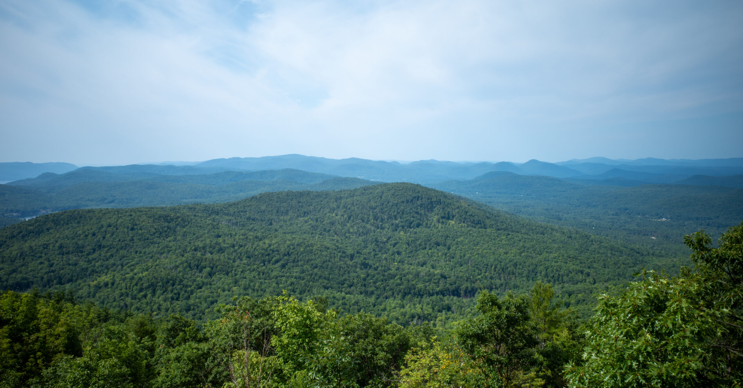
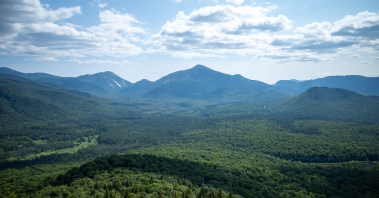
The view extended across Lake George and the surrounding mountains. LGLC describes a 270-degree summit panorama; to me, it felt like a broad, substantial Lake George view rather than a full panorama or a narrow window through trees.
I have not confirmed which exact viewpoints show Edgecomb Pond, so I would not use the pond as a navigation landmark from the summit. The lake view and open rock are the reliable highlights.
Seasonal Considerations
The trail system is open year-round, but mud, winter traction, heat, and hunting seasons can materially change a short hike.
- Summer: The wooded route provides shade, but the summit rock is exposed. Carry enough water and expect roots to become slick after rain.
- Spring: Lower dirt-road and wooded sections can be muddy. Stay on the trail rather than widening wet areas.
- Fall: LGLC notes that hunting and trapping are allowed under New York regulations. Wear bright colors during hunting seasons and remain visible.
- Winter: Snow and ice can turn the final climb into a different outing. DEC’s January 2026 guided hike advised participants to bring microspikes or snowshoes and decide at the trailhead which were needed.
Check DEC’s Adirondack Park backcountry information for current notices and make your own weather and conditions assessment before leaving.
Is Cat Mountain Worth Hiking?
Cat Mountain is easy to recommend when you are already near Lake George, especially as a final-morning hike, but it is not a route I would organize a long trip around by itself.
The strengths are clear: Edgecomb Pond makes the approach distinctive, the summit view is broad, the route is short enough to fit into a travel day, and the immediate setting felt quieter and more natural than Mount Van Hoevenberg’s Olympic-complex start. I still met other hikers, so quiet should not be read as guaranteed solitude.
Mount Van Hoevenberg delivered stronger High Peaks views relative to the effort, while Cat Mountain felt more removed from built infrastructure and offered the pond as a second scenic element. Both were worthwhile supporting hikes. Neither would independently motivate me to make the full trip from New York City.
Cat Mountain is also one of the peaks in the Lake George 12ster. The route combines convenient logistics, varied scenery, and a good Lake George view in a compact morning. For longer route ideas, browse the 448wild Trip Reports library.
Photo Highlights
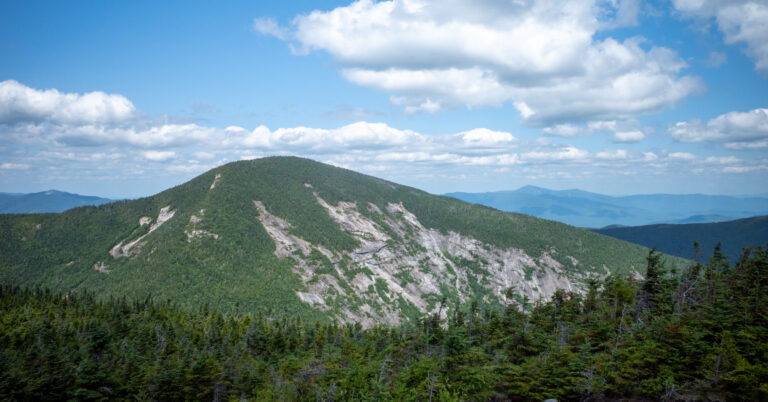
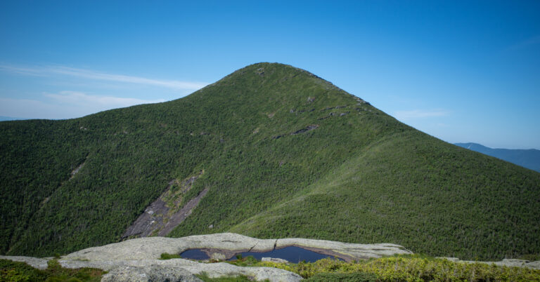
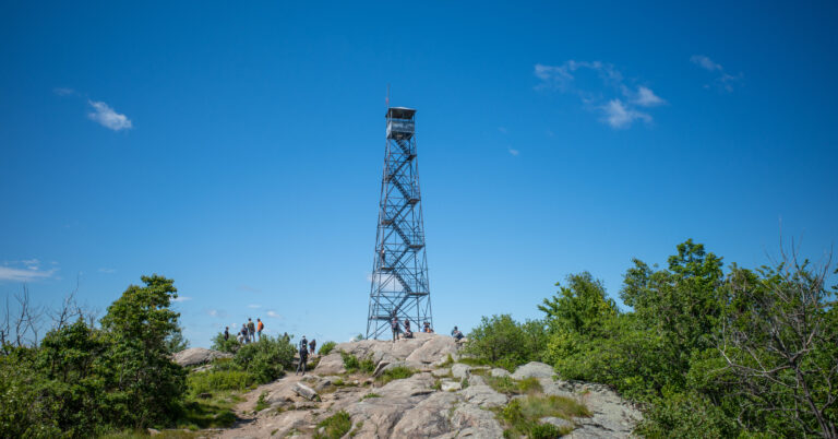
Four frames move from a still morning at Edgecomb Pond to Cat Mountain’s broad summit views over Lake George and the surrounding Adirondacks.