4-Day Teton Crest Trail Backpacking Guide: Phillips Bench to String Lake
Trip Snapshot
| Route | Teton Crest Trail, Phillips Bench to String Lake |
|---|---|
| Location | Teton Range, with our three camps in Grand Teton National Park |
| Trip Date | Early September 2026 |
| Days / Nights | 4 days / 3 nights |
| Mapped Distance | ~39.4 mi |
| Mapped Gain / Loss | +9,260 ft / -10,130 ft |
| Group | 4 hikers |
| Route Type | Point-to-Point |
| Start / Finish | Phillips Bench Trailhead / String Lake |
| Overnight Stops | Marion Lake / South Fork Cascade / Upper Paintbrush |
| Difficulty | Challenging: consecutive long days, sustained climbing at altitude, and exposed high-pass descents |
| Best For | Experienced backpackers comfortable with long days and mountain conditions |
| Water | Streams and lakes on this trip; a dry stretch around Phillips Pass, and no further source observed after Lake Solitude until Upper Paintbrush |
| Permits | We used a Grand Teton backcountry permit for our three camps; confirm the current process with NPS |
Mapped statistics: Distance and elevation figures throughout this guide come from our finalized CalTopo route profiles. Whole-trip totals add the four daily profiles before rounding.
Scope of this guide: This guide documents our early September 2026 trip. Permits, campsite rules, water, snow, weather, parking, and transportation can change. Check the linked land managers and operators for your dates and assess conditions before relying on any operational detail.
Overview
I expected the camps to define this four-day Teton Crest Trail trip; instead, the strongest moments came while hiking, especially at Hurricane Pass and Paintbrush Divide around sunset.
Four of us walked from Phillips Bench to String Lake, camping at Marion Lake, South Fork Cascade, and Upper Paintbrush. The route combined the three things I value most in backpacking: a satisfying physical challenge, exceptional scenery, and enough solitude to enjoy it. Days 2 and 3 were the clear scenic highlights. Day 1 was good in its own right, while the final forested descent became more of a march back to the car.
Our route passed through Jedediah Smith Wilderness, including Alaska Basin. All three of our camps were in Grand Teton National Park. This visit is on my wilderness checklist.
Our camps were private and worked well, but their daytime views were rarely the main event. Marion Lake was pleasant without being exceptional. We chose our South Fork Cascade and Upper Paintbrush sites partly because we were tired, it was dark, and they met our practical needs. North Fork Cascade was the camping zone I most wished I had worked into the itinerary after seeing it from the trail.
The first three days each took roughly 12 hours elapsed, including lunch, rest, and photography. On two evenings, sunset at a high pass led to a headlamp descent. I would not trade those memories, but I would give the timing and campsite distribution more thought before recommending the same schedule to someone else.
Route Map
The map separates our four hiking days and three overnight stops. The optional Other Mapped Campsites folder holds South Fork Cascade planning pins; it starts hidden so our route and camps are easier to follow. Those pins are planning references, not official campsite numbers or sites we inspected.
GPX note: The file contains four named daily tracks, our three overnight stops, trailheads, an overlook, mapped zone markers, and 17 separately named South Fork Cascade planning pins. It has no recorded timestamps or elevation samples; the distance and climbing figures in this guide come from the CalTopo profiles. Camping pins document our trip and planning, so check current zone rules and conditions before choosing a site.
Quick Itinerary
| Day | Route | Details |
|---|---|---|
| Day 1 | Phillips Bench → Marion Lake | Distance: ~10.8 miGain/Loss: +3,640 ft / -2,140 ftCharacter: Long approach through meadows and over Phillips PassCamp: Marion Lake |
| Day 2 | Marion Lake → Death Canyon Shelf → Alaska Basin → Sunset Lake → Hurricane Pass → South Fork Cascade | Distance: ~12.0 miGain/Loss: +2,640 ft / -2,210 ftCharacter: Repeated climbing and descending, with the final major climb late in the dayCamp: South Fork Cascade |
| Day 3 | South Fork Cascade → Forks of Cascade Canyon → North Fork Cascade → Lake Solitude → Paintbrush Divide → Upper Paintbrush | Distance: ~9.6 miGain/Loss: +2,870 ft / -2,600 ftCharacter: Canyon descent followed by a long climb to the divideCamp: Upper Paintbrush |
| Day 4 | Upper Paintbrush → Holly Lake → String Lake | Distance: ~7.1 miGain/Loss: +100 ft / -3,180 ftCharacter: Mostly downhill, with open views giving way to sustained forestFinish: Our vehicle at String Lake |
Trailhead & Access
| Start / End | Phillips Bench Trailhead / String Lake |
|---|---|
| Nearest Town or Metro | Jackson; we stayed in Teton Village before the trek |
| Route Type | Point-to-Point |
| Access Note | We left one rental minivan at String Lake and arranged the transfer to the start before hiking |
| Shuttle / Transit Note | Teton Transportation / Broncs Car Service; our group paid $215 total in September 2026 |
| Parking Note | We found String Lake parking easily before dawn and left the vehicle there during the trek |
| Permit Pickup Location | We collected our permit at Jenny Lake the morning before starting |
Plan for your dates: Our shuttle payment is a historical cost, not a quote. Confirm the pickup location, passenger and pack capacity, price, and early departure directly with the operator. Check NPS backcountry information for permit pickup and overnight parking arrangements.
Shuttle Logistics
Leaving the vehicle at the finish removed the need to predict our final hiking time or arrange a tired, post-hike taxi pickup.
We left our Teton Village lodging around 4:30 a.m., drove slightly under an hour to String Lake, and met our prearranged taxi around 5:30 a.m. The ride to Phillips Bench took about an hour, and we began hiking around 6:30 a.m. One minivan comfortably held four hikers and our gear. Doing the transfer first worked extremely well: once we finished, we could get in the car and leave.
Phillips Bench Trailhead was a small gravel roadside starting area. It looked fairly full when we arrived, and I did not see a restroom or water. A few early spur trails required attention; we followed signs toward Phillips Pass and used offline maps as confirmation. At String Lake, we parked near basic vault-style restrooms. We gave our vehicle details during the permit process and did not use a separate dashboard permit on this trip. Confirm the current parking instructions when collecting your own permit. NPS permits overnight parking for backcountry permit holders; roadside parking when lots are full is prohibited.
I chose Phillips Bench because I wanted the satisfaction of walking the longer approach. Phillips Pass was enjoyable, but it was not one of my major scenic highlights. The tram could be a very reasonable alternative for someone with different priorities. I would expect it to retain much of the scenery I valued most farther along the trek, although its connecting route still needs to fit your permit and camps. Check Jackson Hole Mountain Resort for operating dates, tickets, and access.
Teton Village made a pleasant base before the hike, and our lodging deal beat the Jackson options we found. Restaurants felt resort-priced, while Jackson offered more choice. After the trek, we stayed around Wilson mainly to shower, repack, and sleep before flying home.
Permits & Campsite Planning
Choose workable combinations of camping zones before booking, then check how those nights distribute the climbing and the time needed to reach camp.
We prepared several acceptable campsite combinations instead of relying on one exact sequence. The permit we used put us at Marion Lake, South Fork Cascade, and Upper Paintbrush. We collected it the morning before the hike at Jenny Lake, arriving near opening and finding only a small line. The ranger discussed water, wildlife, weather, and trail conditions with us. We asked specifically about forecast thunderstorms; the ranger did not recommend a route change for the conditions discussed that morning.
Start with the NPS backcountry reservation instructions and their linked Recreation.gov permit page. Reservation releases, walk-up availability, fees, pickup deadlines, and seasonal office hours need checking for your own trip. Our advance planning and next-day pickup experience should not be treated as the current booking procedure.
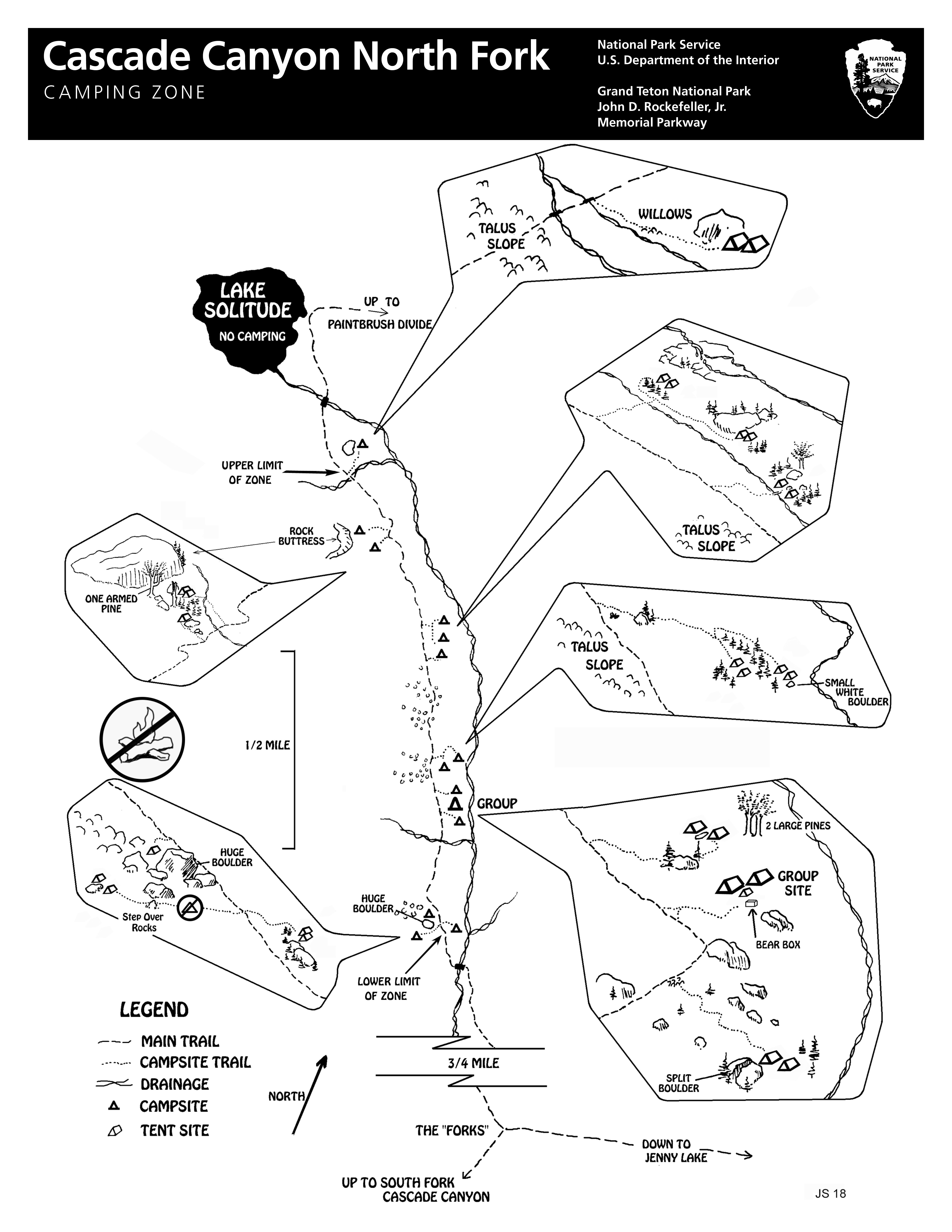
Use the official camping-zone maps and schematics alongside a full route map. A diagram shows the camping arrangement, not necessarily the distance from a distant pass named at its edge. That distinction mattered most when we descended from Hurricane Pass after dark. Stay within your permitted zone and its applicable designated-site rules. The North Fork schematic marks Lake Solitude as closed to camping. For open zones such as Upper Paintbrush, check the current campsite-selection guidance as well as the zone boundaries; NPS advises using previously occupied sites out of sight of trails and other campers, and 200 feet from lakes and streams whenever possible.
Route Guide
Three long days link the southern approach, Death Canyon Shelf, and the two high passes before a shorter descent to String Lake.
Day 1: Phillips Bench to Marion Lake
~10.8 mi, +3,640 ft / -2,140 ft
Route
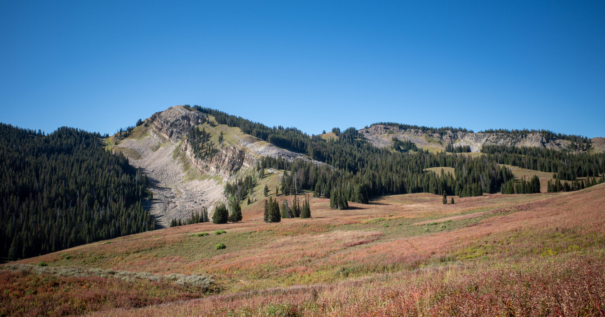
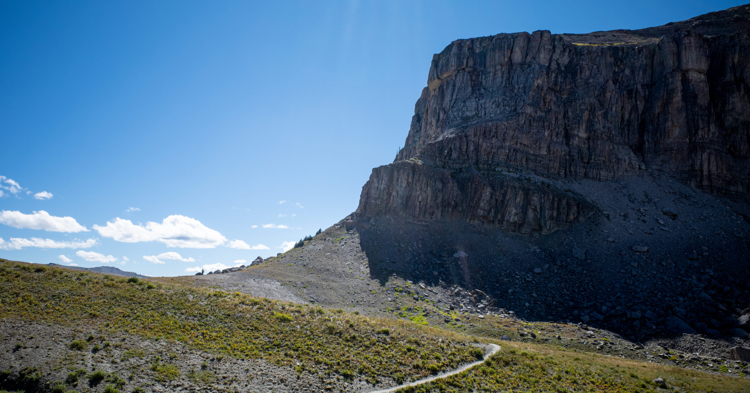
We started around 6:30 a.m. The approach moved through open alpine meadows, red flowers, rolling mountains, scattered evergreens, and large cliff faces. The long, steady climb toward Phillips Pass was probably the hardest sustained section of the day. I enjoyed it, even though the following two days eventually overshadowed it in my memory.
It took us roughly 12 hours elapsed to reach camp, including a long lunch, snacks, normal rests, and plenty of scenery and photo stops. Day 1 was already a substantial undertaking. Extending it much farther simply to reach a different camping zone would need careful thought.
Water
We began with about three liters each, but a dry stretch around the Phillips Pass climb and descent lasted longer than we expected. We had timed our refills poorly, ran somewhat low, and rationed more than we wanted. There was no serious dehydration incident. In hindsight, I would have topped up earlier. I do not remember the exact last source before that stretch or our next refill clearly enough to give turn-by-turn water directions.
Camping
Marion Lake was a nice place to filter water, eat dinner, relax, and take photos. We did not have time to swim. The designated camping was set back from the shore. With the campsite schematic, the official area was straightforward to find; use those legal sites rather than campsite-looking clearings nearer the lake.
Our site was toward the northern part of the camping area, with two nearby pads for our tents and a pleasant overlook or ledge. Other groups were out of sight and earshot. It was a comfortable, private camp, but personally the least exciting of our three nights. Thunderstorms, rain, and gusty wind arrived overnight. The wind woke us at times, and lingering rain and wind kept us in the tents longer the next morning.
Day 2: Marion Lake to South Fork Cascade
~12.0 mi, +2,640 ft / -2,210 ft
Route
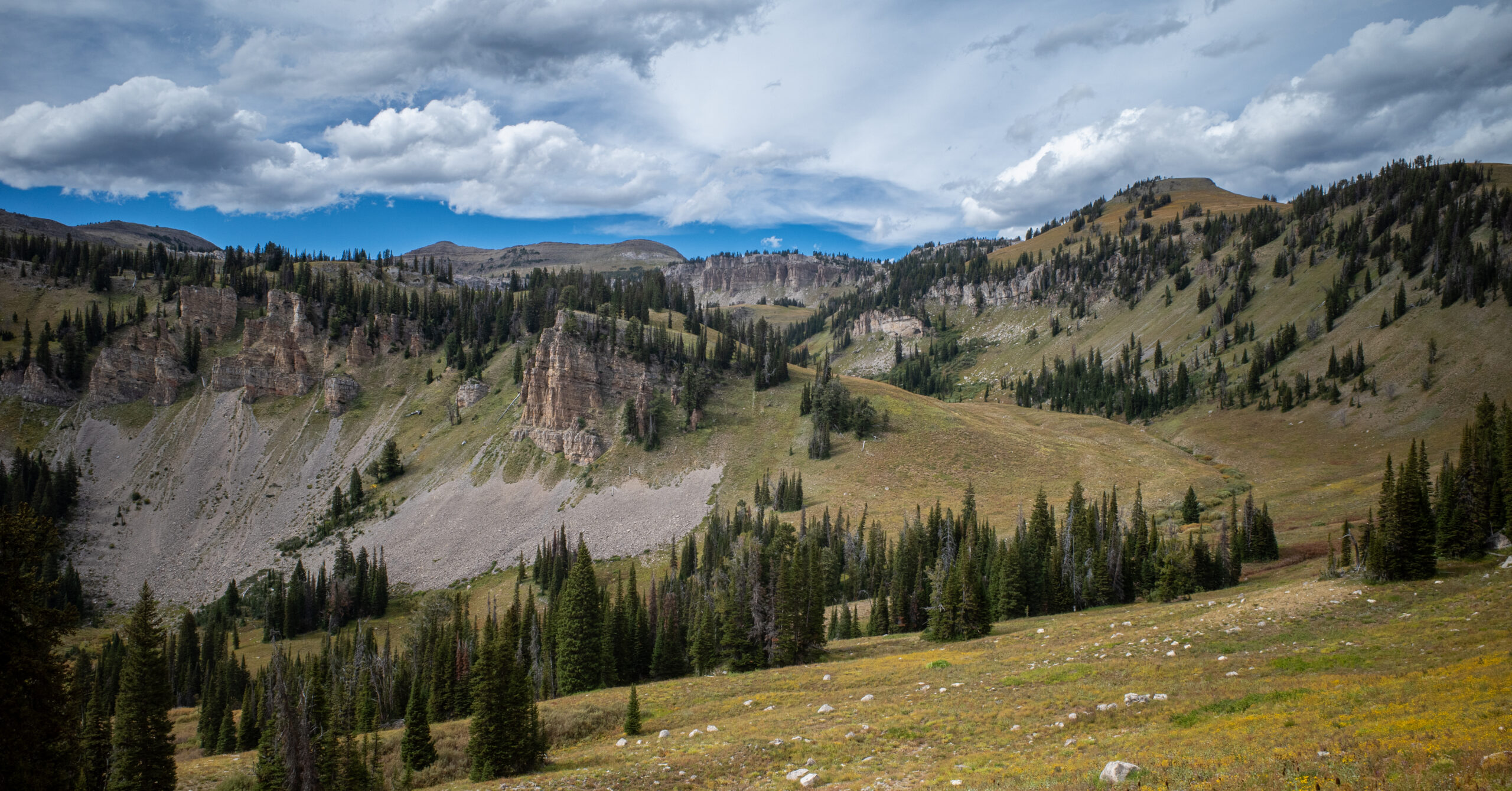
We started around 9 a.m. and spent another roughly 12 hours out, including breaks. After climbing onto Death Canyon Shelf, we followed its relatively level trail with excellent views down Death Canyon. More climbing and descending took us through Alaska Basin and past Sunset Lake toward Hurricane Pass. This was the first of the two days that made the trip feel exceptional.
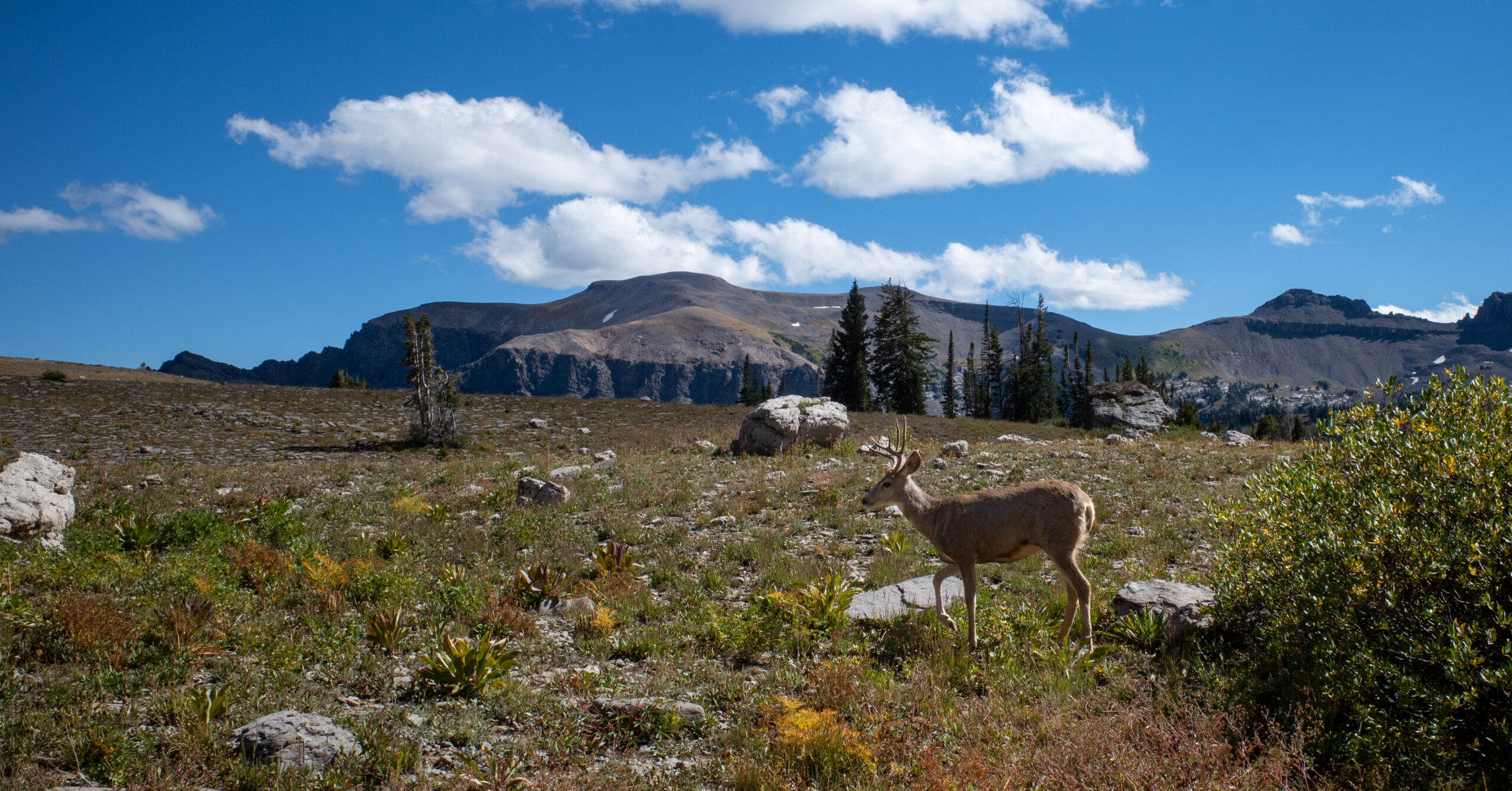
On or around the shelf, we saw a sizable group of bighorn sheep, including young animals, as well as a buck deer and a marmot with noticeably pale facial fur.
Water
We left Marion Lake with about three liters each, anticipating a dry stretch. Our first refill was a flowing stream roughly midway along Death Canyon Shelf, where we also stopped for lunch. I believe our next major refill was Sunset Lake before the climb to Hurricane Pass. We had enough from there for the night and filtered again the following morning. Those are observations from our trip, not promises that the same sources will flow for yours.
Hurricane Pass
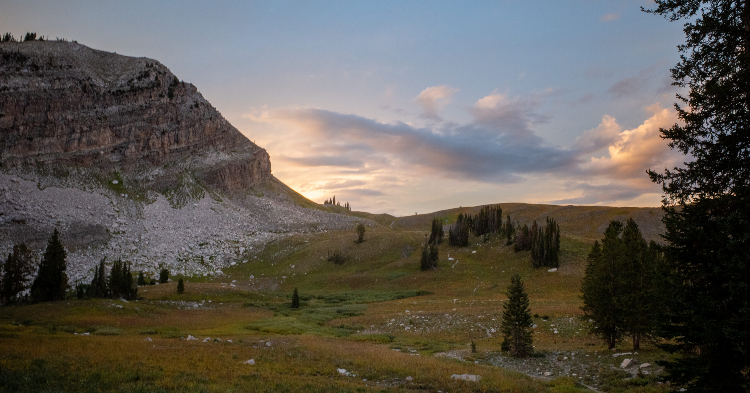
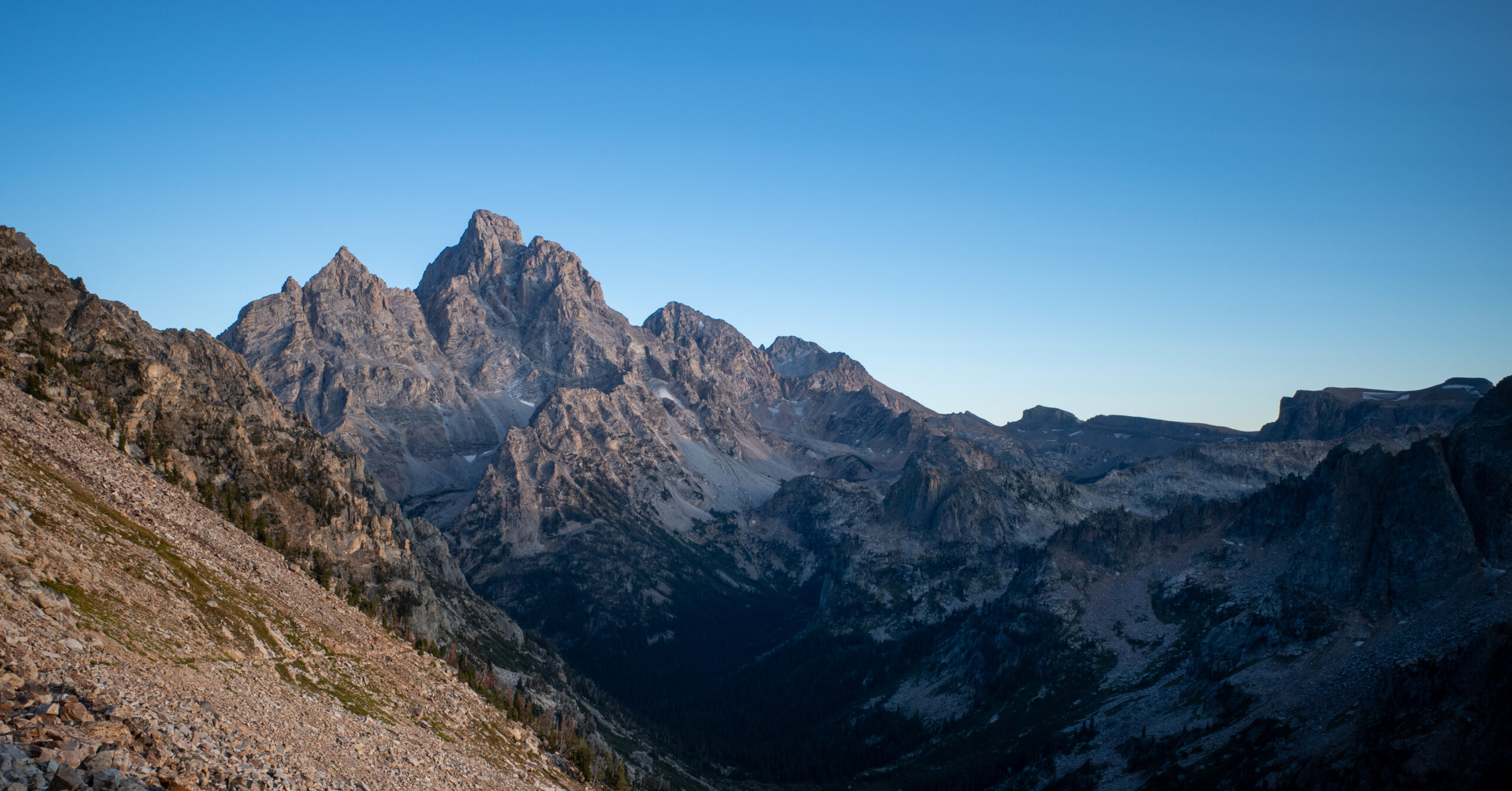
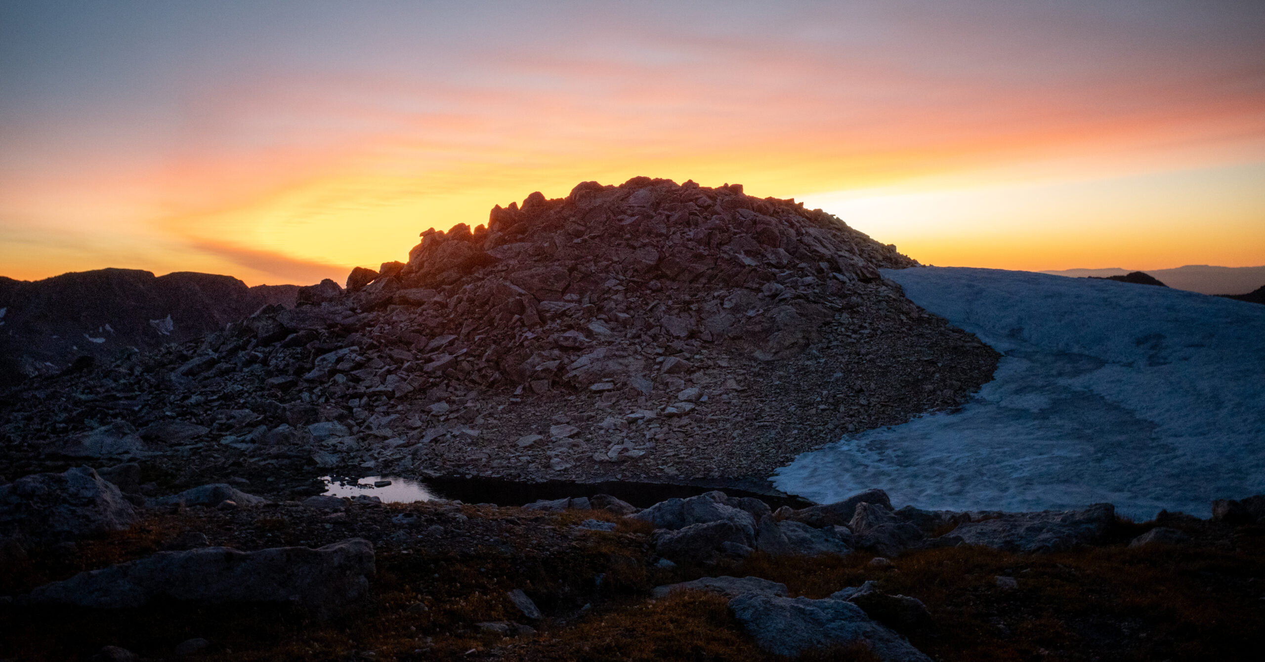
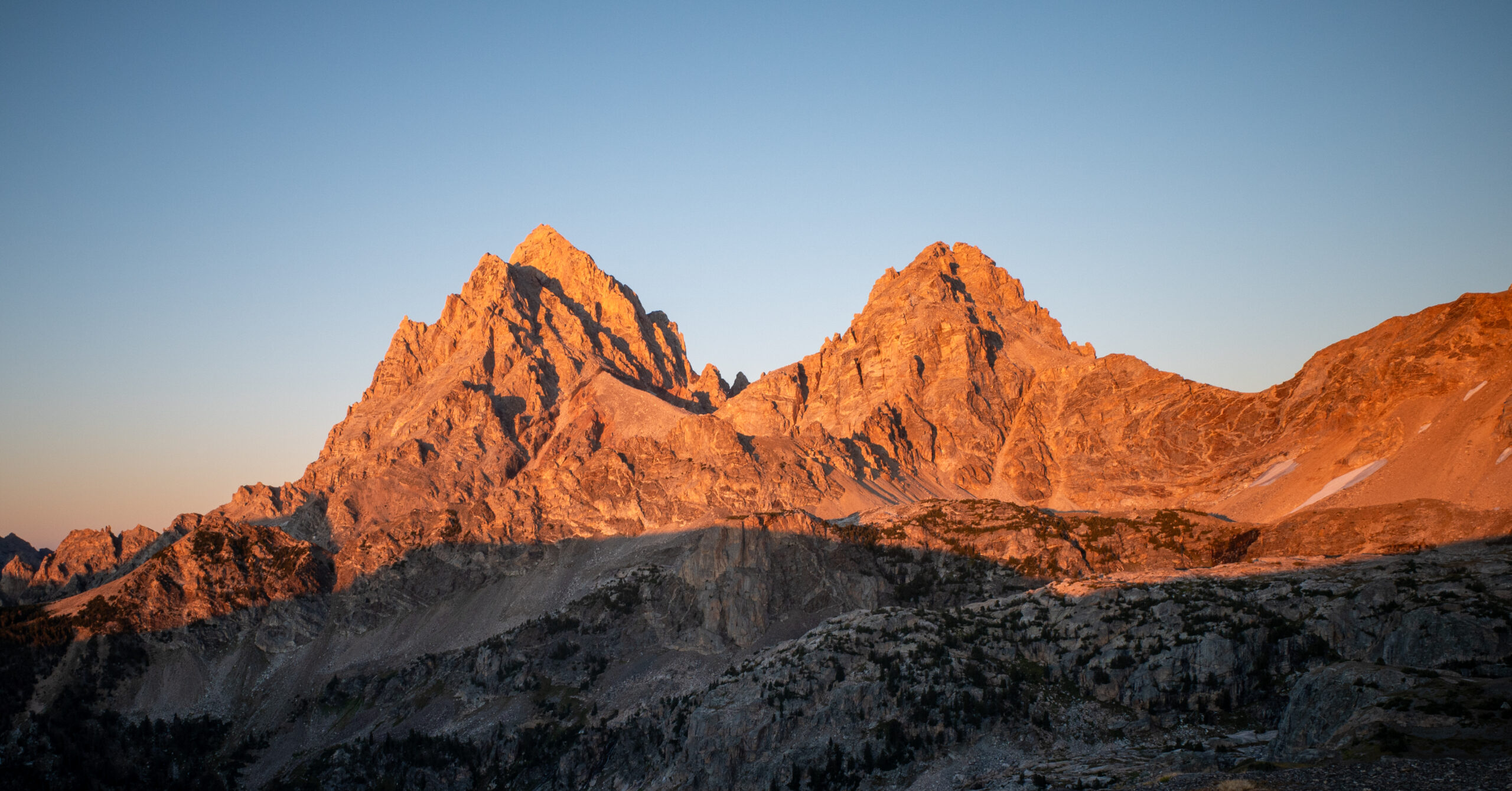
The final climb from Sunset Lake was long and strenuous after an already full day. We reached Hurricane Pass as the sun began to set and stayed for about 15–20 minutes taking photographs. For perhaps five minutes, the Tetons lit up vivid red as the sun dropped below the horizon. It was one of my favorite experiences of the entire trek.
It was also windy and chilly. We pulled on substantial layers, including puffers, shells, gloves, and hoods. Once we left the pass, the descent continued by headlamp through many switchbacks, with loose and gravelly footing in places. We took it slowly. The walking was manageable for our group, but the distance remaining felt much longer than expected.
Camp is farther than it looks on the schematic: Hurricane Pass is not immediately beside the South Fork Cascade campsites. Leave enough time and energy for the descent into the camping zone and for finding a suitable site once you get there.
Camping
We arrived around 9 p.m. and already intended to use an earlier site in the zone because of the long day. Darkness and fatigue reinforced that decision. Finding the camp was the trek’s most confusing navigation problem, even though the main trail itself was clear.
We had read the schematic’s “to Hurricane Pass” label as if the edge of the diagram were near the pass or the start of camping. There was substantially more descent before the zone. Once inside, we followed a spur to an occupied site, returned to the trail, and nearly missed another campsite spur in the dark before finding a marked site that worked.
It accommodated both tents, had a flowing stream nearby, and gave us good privacy in a pleasant canyon setting. A ledge or overlook made a nice breakfast spot. Farther along the zone the next morning, I noticed another attractive overlook and what looked like access toward a campsite or water, but I did not inspect it closely enough to recommend it.
Day 3: South Fork Cascade to Upper Paintbrush
~9.6 mi, +2,870 ft / -2,600 ft
Route
After the late arrival, we chose sleep over an early departure and started around 9–9:30 a.m. The first stretch descended for a long time, much of it in forest, with small cascades and frequent creek access. We stopped for lunch and a longer rest at the Forks of Cascade Canyon. From there, the day changed character.
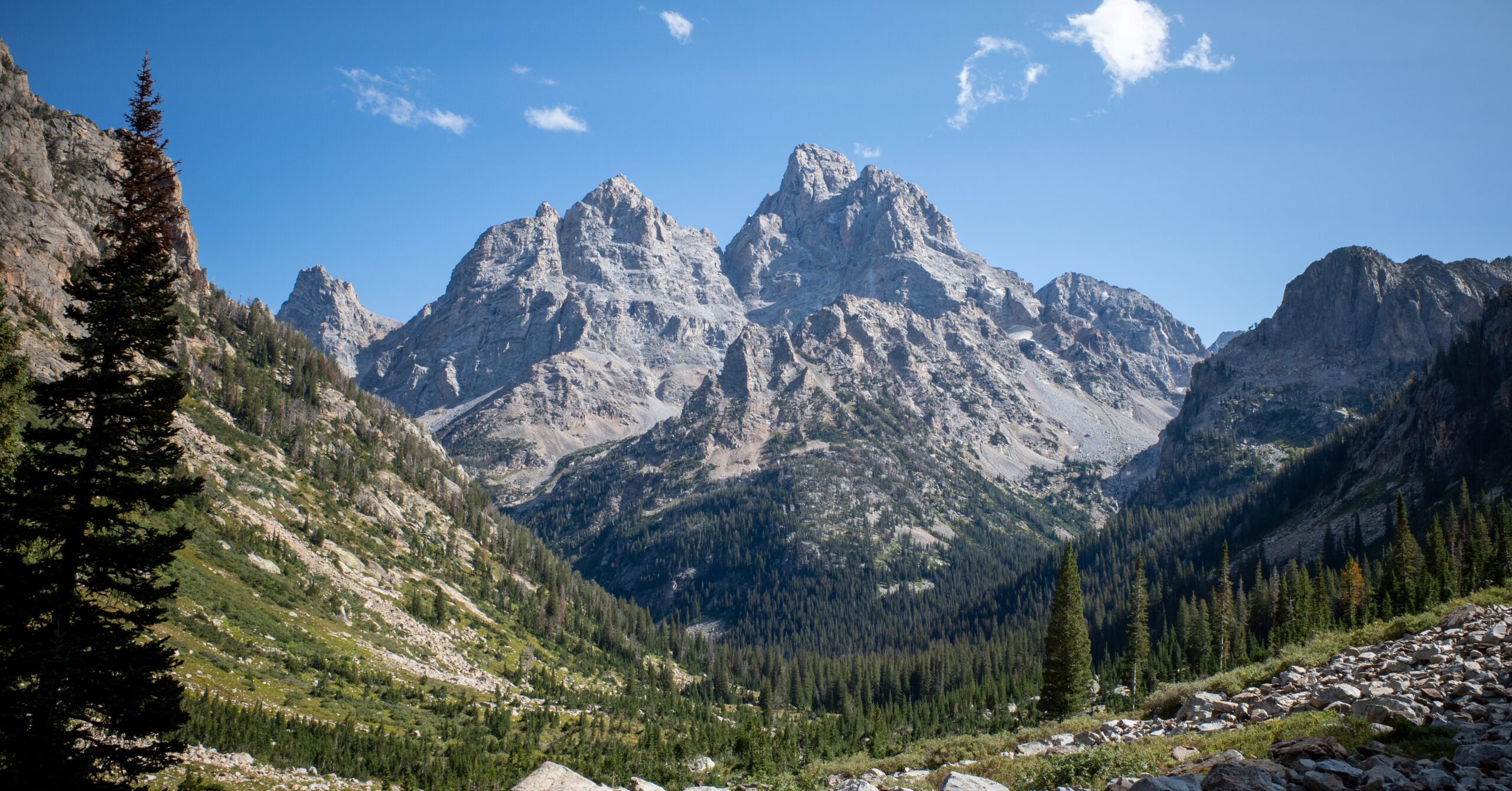
The climb up North Fork Cascade toward Lake Solitude was one of the strongest scenic stretches of the trip. Turning around repeatedly revealed the big peaks behind us as the canyon walls increasingly framed them. The view evolved as we climbed, and the mountains seemed to tower over the canyon. This was also where we began seeing noticeably more day hikers, although it never felt overwhelmingly crowded.
North Fork Cascade was the camping zone I most wished I had worked into our itinerary based on what I saw while hiking through. Several sites or camping areas appeared to have excellent views back down the canyon, although I did not camp there or inspect those sites fully.
Several hikers told us they had seen bears or moose around the North Fork and Lake Solitude corridor. We watched carefully but saw neither species anywhere on the trek. At Lake Solitude, we stopped briefly for photos, a snack, and a rest before the long climb to Paintbrush Divide.
Water
We encountered water readily during much of the earlier descent and canyon approach. After leaving Lake Solitude, we did not observe another source until the Upper Paintbrush camping area. In our conditions, the lake was an important place to check our supply before climbing. That does not establish a permanent dry stretch or guarantee water elsewhere in the zone.
Paintbrush Divide
The ascent was long, steady, and rocky. It required no scrambling on our trip, and no single pitch felt extraordinarily steep, but the accumulated climbing, altitude, and tired legs made it a grind. The views stayed excellent. Later beyond Lake Solitude, we stopped seeing day hikers. We saw and heard many marmots and pikas in the higher terrain.
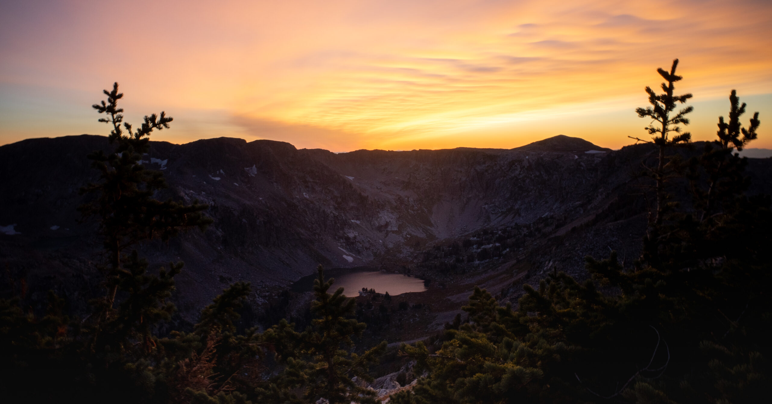
As the sun sank, we kept gaining height, and it felt as though we were repeatedly regaining a little more sunset. Evening light colored the mountains red, Lake Solitude lay below, and other lakes and patches of snow or ice appeared across the surrounding terrain. An overlook before the top opened up views and large drops on both sides. At the divide itself, we could see broadly toward the String Lake side, but darkness was arriving and we did not linger as long as at Hurricane Pass.
Descent & Conditions
The initial descent was the most hazardous hiking I personally encountered on the trip: steep switchbacks, loose gravelly footing, exposure, and darkness together. It was not a place where I wanted to slip. We turned our headlamps to high, deliberately slowed down, and resisted rushing even though we were tired.
There were a few remaining snow patches. One had a narrow worn dirt passage with snow and some ice around it. At another, a short worn path skirted the patch and quickly rejoined the apparent trail. These describe what we encountered in September 2026, not dependable future conditions or a recommended bypass. Check the current snow and route conditions before committing to the divide.
Camping
When we reached the open Upper Paintbrush zone, we initially saw a flat meadow on the right. We did not see obvious water there in the dark and continued slightly farther to a flat area below the trail near a small stream. Not seeing water at the first spot does not mean it was dry.
Our priority was legal, suitable ground with room for two tents, privacy, convenient water, and a reasonable stopping point after another roughly 12-hour elapsed day. The site worked well. We were not trying to maximize the view. The next morning, I noticed another seemingly usable area across the stream and uphill among trees, but I did not camp there or assess it as an alternative.
The stars were a real camp highlight on both Nights 2 and 3. I could see the Milky Way more clearly than I ever had before and spent enough time looking up to notice its position change.
Day 4: Upper Paintbrush to String Lake
~7.1 mi, +100 ft / -3,180 ft
Route & Finish
We intentionally slept later for the shortest day and started around 10 a.m. The route was nearly all downhill, with only brief minor climbs. We followed the Holly Lake branch before rejoining the main Paintbrush Canyon trail. Early open views still held my attention, and Holly Lake stood out for its striking green color. Later, an overlook opened toward the larger lakes below. We saw more deer as we continued down.
Once we entered sustained forest, the day became monotonous. Our legs and feet were tired, and mentally we were ready to finish. The terrain itself was not especially difficult, but it felt like the major scenery was behind us. It reminded me of the feeling of finishing a clockwise Pemi Loop through Lincoln Woods, even though the terrain was different.
This was the least impressive day of the trek. String Lake was a pleasant finish, with people out kayaking, but we did not swim. We were mostly happy to reach the minivan and go get food. Having our vehicle waiting there was exactly as convenient as we had hoped.
Navigation Notes
The trail was generally obvious and well signed; judging progress and locating camp after dark demanded more attention than finding the main route.
I had studied the route beforehand and knew the sequence of destinations. Major junctions were signed, and most spurs appeared to lead to camps or viewpoints. The early junctions near Phillips Bench deserved a closer look, but we did not encounter sustained route-finding difficulty.
I used an Avenza Grand Teton National Park map offline, mainly to check progress and estimate what remained. Two companions preferred their offline AllTrails maps; I did not personally rely on those. I also carried a National Geographic Grand Teton paper map as backup, although I barely needed it.
The South Fork Cascade campsite schematic caused our real confusion. Carry both the zone diagram and a full route map, and understand where the zone begins before darkness limits what you can see. Redundant offline navigation was useful without making this an advanced route-finding trip.
Wildlife & Food Storage
We saw no bears or moose, but carried bear spray and treated food storage as part of every camp setup.
We talked normally as a group and paid more attention at blind corners. Being four hikers did not remove the possibility of an encounter. Personally, I would not choose to do this route solo because of my own comfort level around bears and moose; that is my risk tolerance rather than a rule for everyone. Read the NPS bear-safety guidance before going. NPS advises avoiding nighttime hiking, another reason to treat our sunset descents as experiences rather than a default plan.
We obtained bear spray through an airport pickup and return service I remember as Bear Aware and never needed to deploy it. Confirm current rental terms and airport arrangements directly. Each of us effectively needed a large canister for four days of food plus trash, toiletries, sunscreen, and other smellables. We borrowed one large canister free at permit pickup and returned it at Jenny Lake after the trek. Check current lending availability rather than assuming a particular size will be waiting.
Our sleeping, cooking, and canister areas were separated by roughly 200 feet in a triangle. Current NPS guidance calls for preparing food, eating, and storing the canister at least 100 yards downwind from the tent, so use that guidance instead of copying our approximate spacing. Follow the park’s food-storage instructions, use an approved bear-resistant canister, and keep it away from places where an animal could roll it into water or over a drop. Nothing visibly disturbed our canisters overnight.
Seasonal Considerations
Early September suited this trip well, but cold wind, overnight thunderstorms, and the remaining snow still shaped our decisions.
Our first night brought thunderstorms, rain, and wind; the remaining daytime hiking was predominantly clear and pleasant. Nights and high passes were chilly. I was glad to have a puffer, a shell or wind layer, gloves, a warm hat or hood, and long underwear. I slept comfortably in my 15°F bag, which describes my setup rather than a recommended rating for every forecast.
Bugs were almost nonexistent for us. I do not remember a single mosquito bite. The trail was generally very well maintained, bridges we encountered were intact, and shallow crossings were easy. No major ford, blowdown, overgrowth, or mud problem stood out. Loose footing on the high-pass descents mattered much more than the limited snow remnants.
I brought microspikes to Wyoming but left them in the car after discussing conditions with the ranger. We did not carry or need them on this trek. That is not a standing recommendation for September. Check NPS conditions and alerts and the backcountry trail reports for your dates, including snow at Paintbrush Divide and the forecast for exposed terrain.
Our later starts on Days 2 and 3 contributed directly to reaching the passes near sunset. September did not force us to hike after dark. Allow time for weather delays, breaks, the descent beyond a pass, and finding camp. A sunset stop is a choice with consequences for the rest of the evening.
Difficulty & Gear Lessons
This schedule suited experienced backpackers who could manage consecutive long days, climb at altitude, and keep making careful decisions when tired.
I would not choose this as a beginner itinerary. We did not hike at a race pace, but the first three days were long and the major late climbs demanded energy. I came from near sea level and arrived about two and a half days early, taking altitude more seriously after a previous bad experience. With preparation and pacing, I had the expected extra breathing effort but no meaningful headache, nausea, or altitude-sickness episode.
A dependable headlamp with enough battery and useful output mattered on both pass descents. I strongly preferred having my trekking pole for loaded-pack climbing and rocky downhills; two companions liked using two poles. I wore boots because that is my preference with a pack on this terrain. Neither choice needs to be a universal rule.
For sun coverage, I used pants, a sun hoodie, a hat, and sunscreen on exposed skin. My water setup was a 2.5-liter bladder plus a bottle, giving me about three liters of capacity. That worked for the trip, but the Day 1 issue was refill timing. I kept my phone mostly in airplane mode and a small external battery was sufficient for occasional maps and photos.
I am not an ultralight backpacker. I value sleeping clothes, extra socks and underwear, warm layers, and enough food not to be hungry. I probably carried a little more food than necessary and was comfortable with that tradeoff. No major gear failure or regret defined this trek.
What I Would Do Differently
I would first rethink the campsite distribution, especially whether North Fork Cascade could fit without making another day unreasonable.
I have no regrets about the trip, but campsite planning is where I see the most room for improvement. Marion Lake was good without being exceptional, and the later camps were partly practical stopping points. The North Fork views made me wish I had understood that zone’s appeal before booking.
I would also investigate a schedule that placed one or both major climbs earlier in the hiking day. Hurricane Pass and Paintbrush Divide at sunset were absolutely worth it to me in hindsight. At the time, uncertainty about how far camp remained made two tired evenings mentally longer. The exposed descent from Paintbrush Divide is not something I would automatically plan to repeat by headlamp.
Different camps could solve one timing problem and create another. For example, continuing from Phillips Bench all the way to Death Canyon Shelf would extend an already long first day. I would compare the daily mapped distance and climbing, legal camping zones, permit availability, and realistic pace before recommending any alternate sequence.
Is This Worth Backpacking?
Yes, absolutely: this route delivered the challenge, scenery, and solitude that make a backpacking trip satisfying to me.
Days 2 and 3 produced some of my favorite backpacking memories and photography. The challenge made the views feel earned, and the route gave us enough quiet time that it never felt like simply moving between crowded overlooks. We saw other hikers, especially toward Lake Solitude, but the crowds never meaningfully reduced my enjoyment. Most of our camps felt private.
The camps were good; the trail itself was exceptional. Hurricane Pass in red evening light and the drawn-out sunset climb to Paintbrush Divide are what I will remember first. Day 1 deserved more credit than it received after those two days, and I would be honest with anyone planning this route that the final forested descent was the weakest part.
I finished feeling accomplished. I am unlikely to repeat the whole route soon because there are many other trips I want to experience, not because this one disappointed me. For an experienced backpacker who enjoys long mountain days, this was a deeply satisfying four-day trip.
Photo Highlights
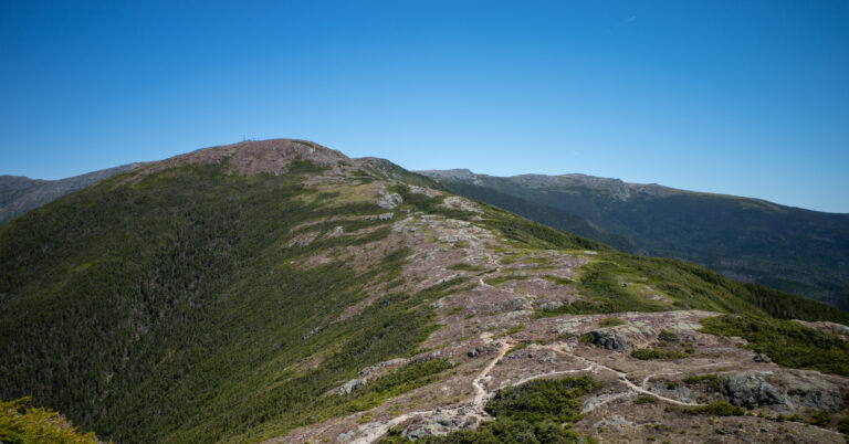
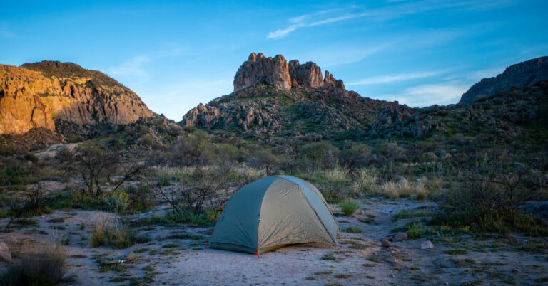
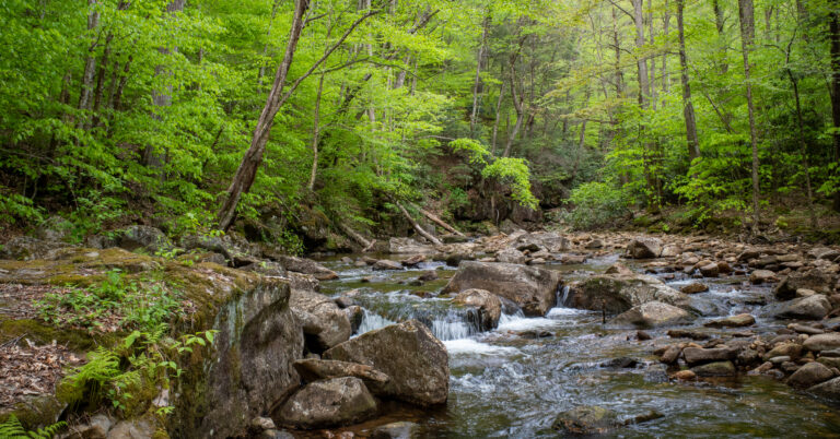
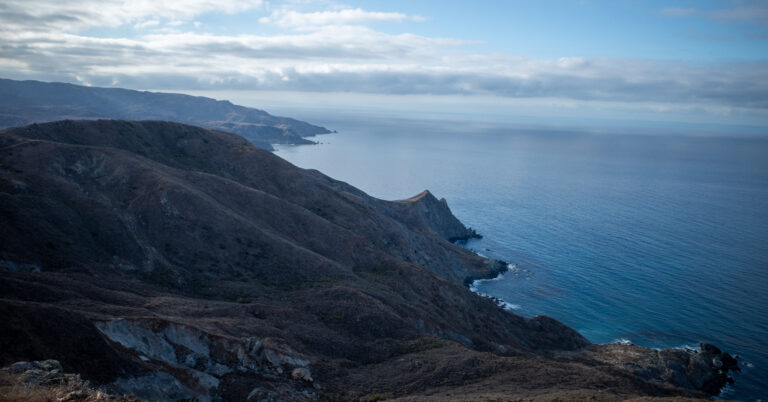
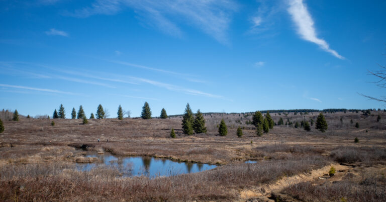
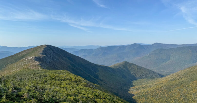
These photographs follow the first three hiking days, from the Phillips Pass meadows to the sunset passes that defined the trip for me.