Giant Mountain and Rocky Peak Ridge Day Hike via the Ridge Trail
I hiked Giant Mountain and Rocky Peak Ridge on the main day of my three-day Adirondacks day-hiking trip, between shorter arrival and departure hikes.
Hike Snapshot
| Location | Giant Mountain Wilderness, Adirondack Park, New York |
|---|---|
| Route | Ridge Trail, also called the Zander Scott Trail, to Giant Mountain with an out-and-back extension to Rocky Peak Ridge |
| Route Type | Out and Back |
| Mapped Distance | 7.41 mi for the hiked route, excluding the optional Giant Nubble spur |
| Mapped Elevation | 4,456 ft of cumulative gain and 4,453 ft of loss |
| NYSDEC Reference Figures | Approximately 3.0 mi and 3,050 ft of ascent from the Zander Scott Trailhead to Giant; 3.0 mi round trip and more than 1,450 ft of ascent between Giant and Rocky Peak Ridge |
| Main Destinations | Giant Washbowl, Giant Mountain, and Rocky Peak Ridge |
| Difficulty | Strenuous; Giant is hard by itself, and Rocky Peak Ridge adds a steep descent, climb, and return ascent |
| Trip Date | Late July 2026 |
| Start / Finish | Approximately 7:10 a.m. / 2:30 p.m. |
| Conditions | Sunny, dry, and warm, with blue sky, some clouds, and a little wind |
| Group | Solo |
| Water Carried | Approximately 3 liters, which was not enough for me on this warm-weather hike |
| Best For | Strong day hikers comfortable with sustained climbing, steep exposed rock, and a conservative turnaround decision |
Scope of this guide: The route, parking, facilities, water use, crowds, and conditions describe my late July 2026 hike. Access, parking, trail conditions, water, and facilities can change. Check the NYSDEC Giant Mountain Wilderness page and current Adirondack backcountry notices before leaving.
Overview
Giant Mountain is a strong Adirondacks day hike by itself, but Rocky Peak Ridge is what made this my favorite Adirondacks day hike so far.
I’ve added Giant and Rocky Peak Ridge to my Adirondack 46ers checklist.
I chose the Ridge Trail because it saved some mileage compared with the Roaring Brook approach, while accepting a steeper climb. The trail rose steadily from the start, passed Giant Washbowl, and became steeper and rockier higher on the mountain.
Giant was a worthwhile summit with a broad perspective from the eastern side of the Adirondacks. It was also the busier summit. I enjoyed talking with hikers at different stages of the Adirondack 46ers, including people who had finished the challenge, were accompanying friends, or were still early or midway through it.
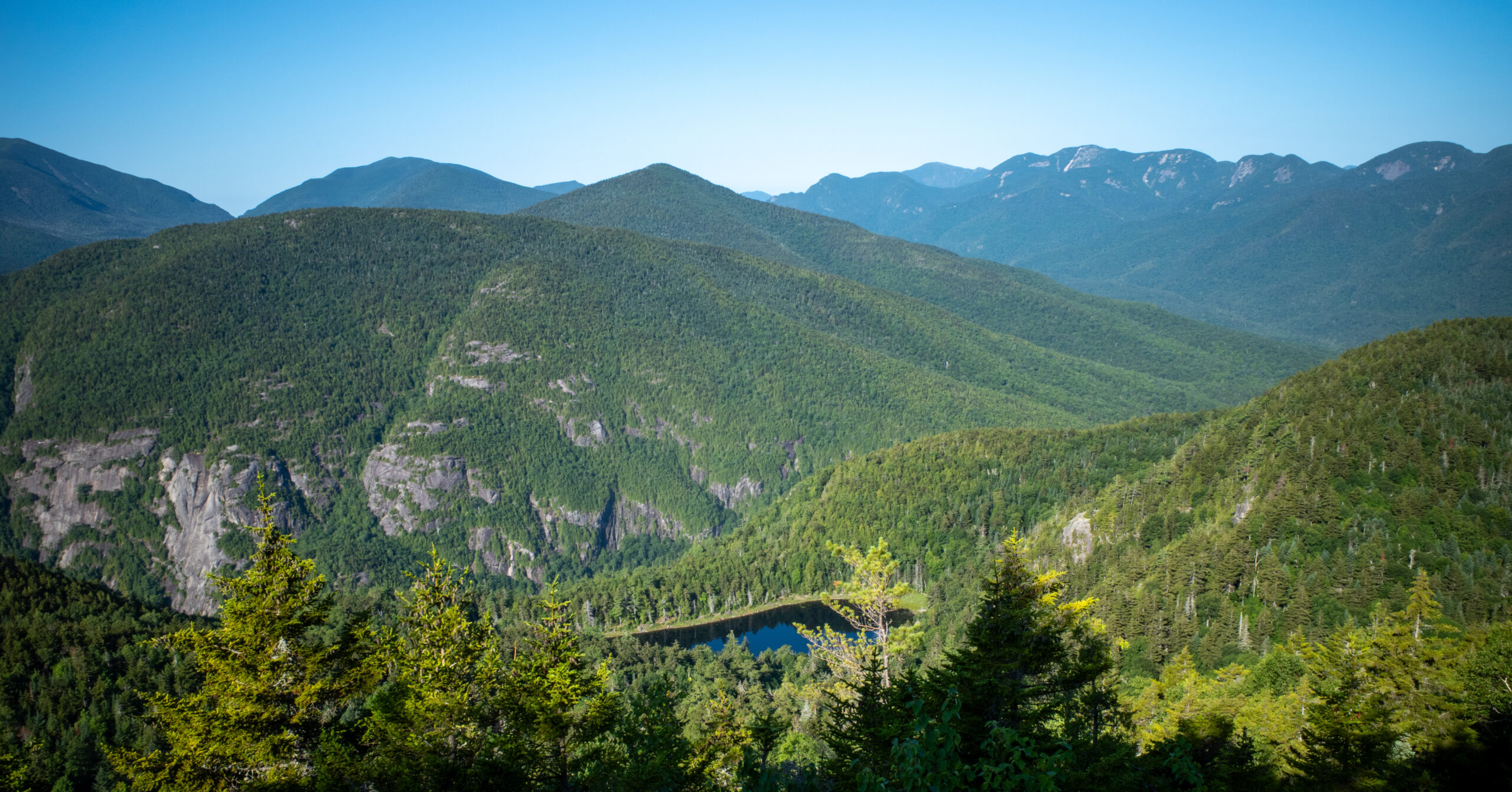
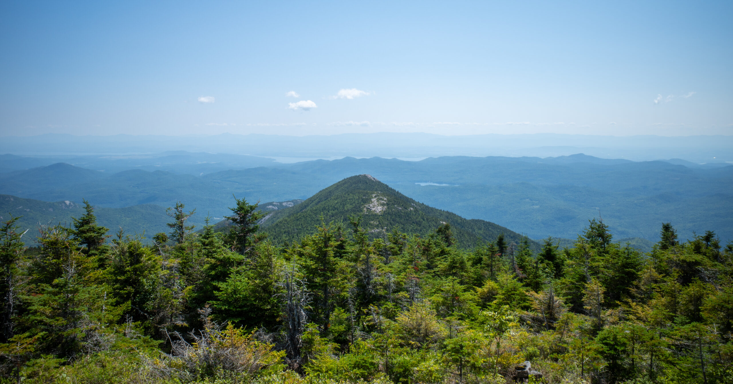
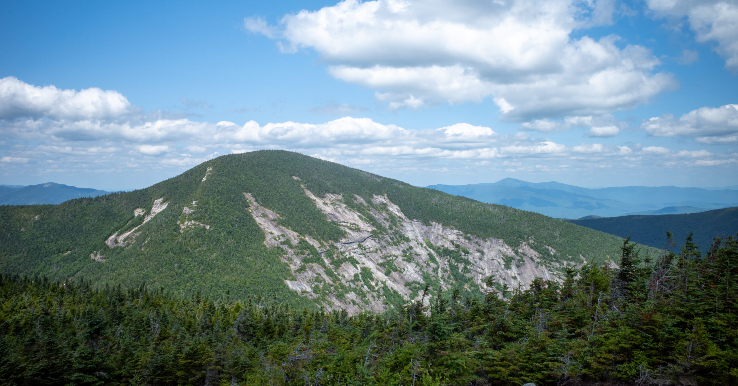
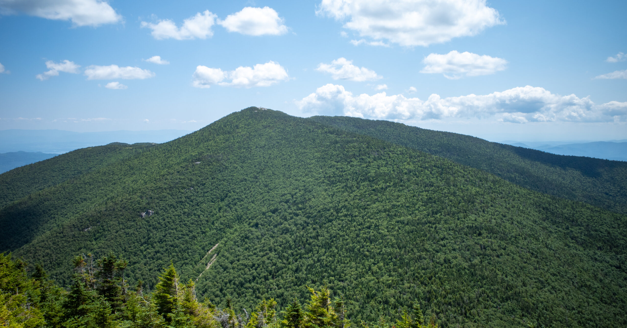
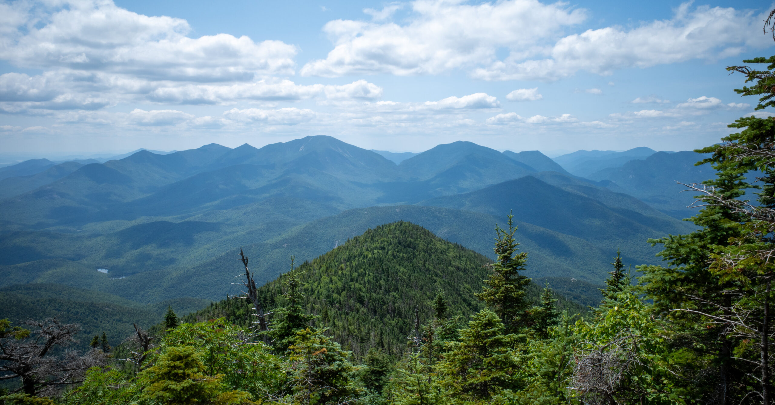
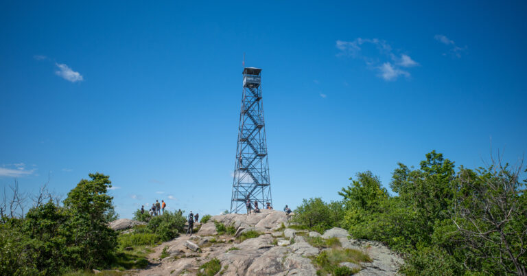
Rocky Peak Ridge changed the day. Beyond the junction near Giant, the crowds thinned and a steep descent into the col led to another climb and a broad exposed summit. I could see Lake Champlain in one direction and look back toward the High Peaks and Giant in the other. The view of Giant’s exposed rear face was one of the most distinctive of the hike.
The extension has a real cost. The return climb from the col toward Giant was the hardest and most mentally tiring part of my hike. Giant is a reasonable finish for many hikers. Rocky Peak Ridge makes sense only for someone who reaches Giant with enough energy, water, daylight, and stable weather to complete the extra climbing safely.
Route Maps
The CalTopo map shows the three red route sections I hiked from the Ridge Trailhead to Giant, across to Rocky Peak Ridge, and back to the trailhead. It also shows the blue Giant Nubble spur as an optional route that I did not hike. Use the official Route 73 and Giant Mountain Wilderness maps for the broader trail network and land-manager context.
GPX note: The download contains only the three red sections of the mapped hike and excludes the blue Giant Nubble spur. It has no timestamps or elevation samples, so distance comes from the GPX geometry and elevation figures come from the CalTopo profile. Treat it as a route reference, not a current report on access, water, rules, or trail conditions.
Map and statistics note: CalTopo reports no time for these lines. The 7.41-mi distance and 4,456-ft gain are map-derived estimates rather than statistics from a timed GPS activity.
Current trail notice: NYSDEC’s August 6, 2026 backcountry update listed erosion and a washout on the separate Roaring Brook Trail. It did not list a Ridge Trail or Giant-to-Rocky Peak Ridge closure. Check again for your date.
Quick Route Summary
The route has one primary objective at Giant and one consequential extension across the col to Rocky Peak Ridge.
- Trailhead to Giant Washbowl: Sustained climbing begins immediately, although the route has not yet reached its steepest terrain.
- Giant Washbowl to Giant: The grade increases and the trail includes exposed rock, steep rock faces, and sections requiring careful movement.
- Giant Mountain: This is a complete and difficult hike by itself, as well as the most important decision point of the day.
- Giant to Rocky Peak Ridge: A steep descent into the col is followed by a steep but manageable climb to a quieter, broader summit.
- Return: The descent from Rocky Peak Ridge is manageable, but the climb back toward Giant is the hardest late-day effort. A long Ridge Trail descent still remains.
| Section | Distance | Gain | Loss |
|---|---|---|---|
| Ridge Trailhead to Giant Mountain | 2.65 mi | 3,030 ft | 17 ft |
| Giant Mountain to Rocky Peak Ridge | 1.16 mi | 646 ft | 868 ft |
| Rocky Peak Ridge to Ridge Trailhead | 3.60 mi | 780 ft | 3,568 ft |
| Hiked Route Total | 7.41 mi | 4,456 ft | 4,453 ft |
These section figures come from the CalTopo line and elevation profile. Small differences between total ascent and descent reflect map sampling and rounding.
Trailhead and Parking
| Official Trailhead | Giant Mountain Trailhead Parking Area, also called the Zander Scott Trailhead |
|---|---|
| Road | State Route 73 in the Town of Keene |
| Land Manager | New York State Department of Environmental Conservation |
| Parking | Designated roadside spaces on either side of Route 73; obey posted restrictions and never stop in an unsafe shoulder section |
| Fee / Reservation | NYSDEC lists Giant Mountain Wilderness as free; its current visitor page does not list a day-hike reservation for this trailhead |
| Season | Open for recreation year-round, with route conditions and access subject to change |
| Trail Register | NYSDEC asks hikers to sign in and out of every register encountered |
| Restrooms / Water | The official unit page does not promise either amenity; arrive self-sufficient |
What I found: Several marked roadside spaces were available around 7:00 a.m. on a fair-weather Saturday. Parking was free, a trail steward was near the start, I signed the register, and portable toilets were present. Treat those facilities and staffing as dated observations, not guarantees.
Parking safety: Route 73 roadside parking is prohibited where stopping is unsafe or posted against. Use only designated legal spaces, even if that changes the day’s plan.
Route Guide
The Ridge Trail makes Giant a sustained steep hike, and the Rocky Peak Ridge extension adds a second commitment after the first summit has already been earned.
Zander Scott Trailhead to Giant Washbowl
The lower Ridge Trail climbs consistently but gives hikers time to judge their condition before the grade becomes more severe.
The ascent began immediately, although it was not yet at its steepest. I passed hikers early who appeared surprised by the effort even though the harder upper terrain was still ahead. If this lower section already feels overwhelming, continuing toward Giant may turn into a very difficult day.
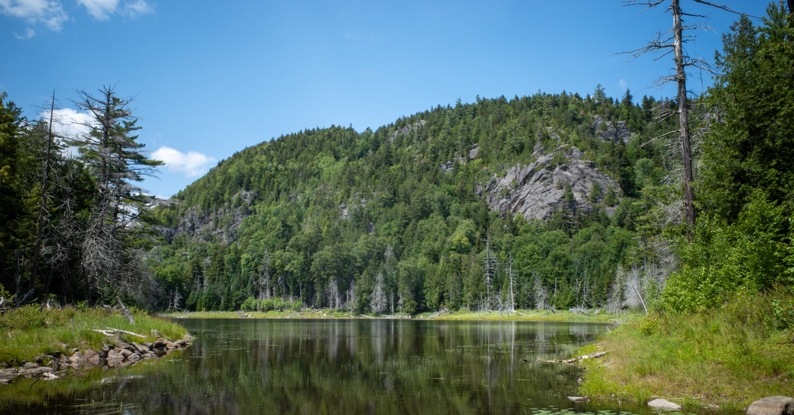
Giant Washbowl was the memorable early landmark. It combined a water feature with an open view and provided a natural break in the sustained ascent. The water level appeared normal during my visit, but water levels can vary.
Giant Washbowl to Giant Mountain
The upper route becomes steeper, rockier, and more exposed, with views opening before the summit.
I passed the junction for Giant Nubble and continued toward Giant. Higher on the mountain, ordinary rocky trail gave way to exposed slabs, steep rock faces, and places where I needed to move carefully. I would not describe every such section as formal scrambling, but the terrain demanded attention, especially on the descent.
The conditions were dry, which made the rock easier to trust. Views opened before I reached the summit and helped break up the sustained climb.
Giant Mountain Summit
Giant is a worthwhile destination by itself and the correct stopping point when energy, water, weather, or schedule has become uncertain.
The trail became busier after joining hikers arriving from the Roaring Brook direction. Giant’s summit had a noticeable number of people, though it did not feel unmanageably crowded.
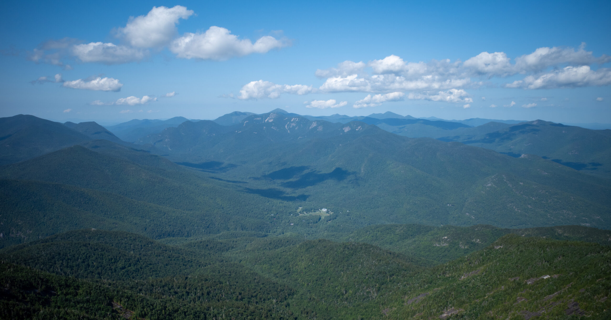
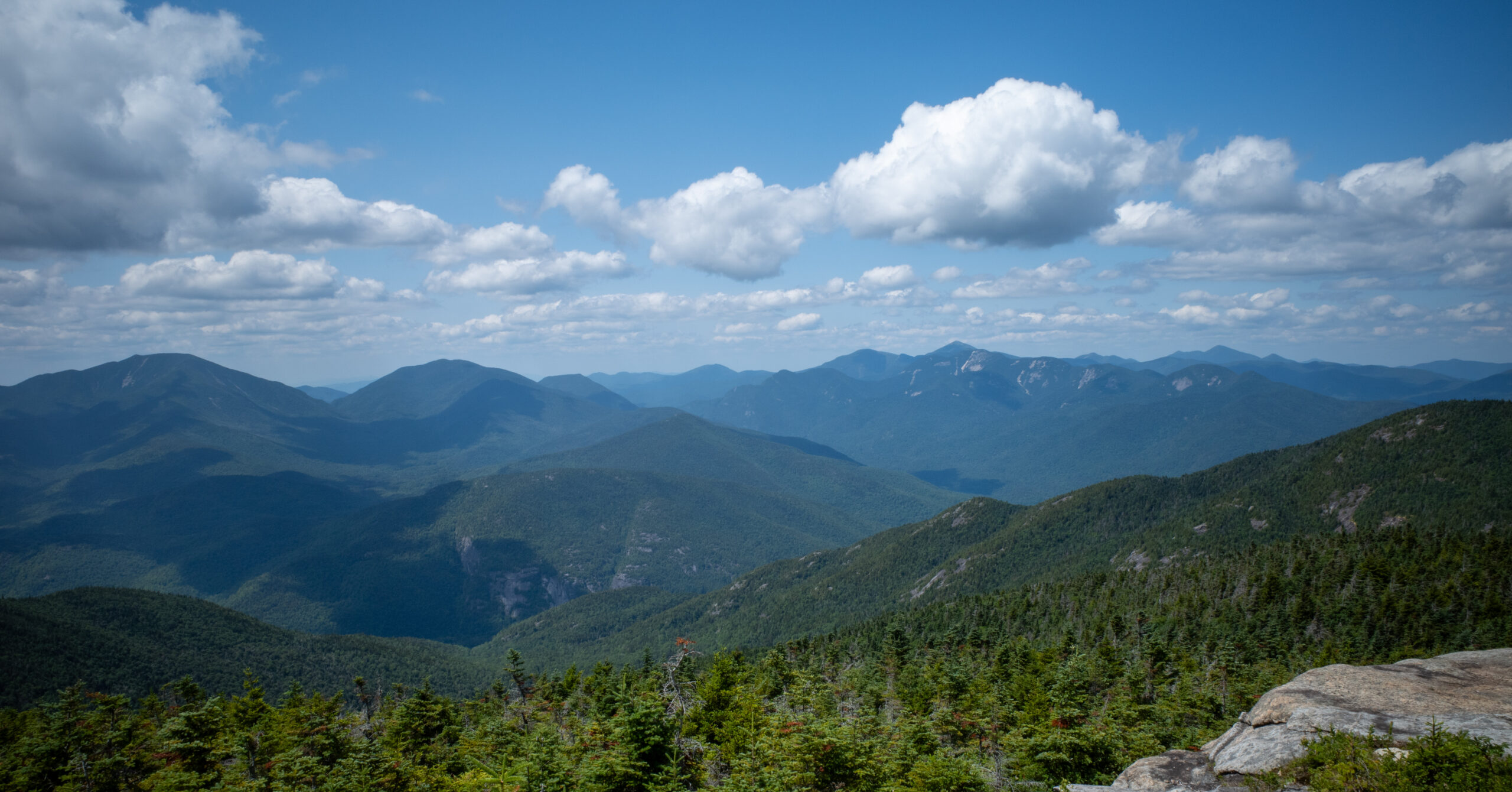
NYSDEC describes the summit as open rock with a 360-degree view of the Adirondacks and Lake Champlain Valley. What stood out to me was the different perspective created by Giant’s position toward the eastern side of the range.
A small number of hikers were working on the Adirondack 46ers. I spoke with people who had already completed the peaks, were accompanying friends, or were early or midway through the challenge. Those conversations made the summit sociable without turning it into a quiet or isolated place.
Giant Mountain to Rocky Peak Ridge
This mapped 1.16-mi section loses about 868 ft and gains about 646 ft before reaching Rocky Peak Ridge.
The route to Rocky Peak Ridge leaves from just below Giant’s summit. Crowds thinned significantly beyond the junction. The descent from Giant into the col was steep, with exposed rock, steep dirt, and terrain that would likely become much more slippery when wet.
From the col, the climb to Rocky Peak Ridge was steep but manageable in the dry conditions I encountered. The summit opened into a large exposed area with broader space and fewer people than Giant.
I could see Lake Champlain on one side and look back toward the High Peaks and Giant on the other. The view of Giant’s exposed rear face was especially distinctive because it revealed a side of the mountain that the Ridge Trail ascent did not.
Rocky Peak Ridge was the better summit experience for me. The broad perspectives mattered, but so did the quieter atmosphere. It felt more removed from the main flow of hikers without feeling completely isolated.
Return Climb to Giant and Ridge Trail Descent
The mapped 3.60-mi return gains about 780 ft before the long descent and loses about 3,568 ft overall.
The descent from Rocky Peak Ridge into the col was manageable. The climb from the col back toward Giant was not. It was the most physically and mentally tiring section of my hike, partly because I had already seen the major views and was now climbing simply to regain the route home.
Reaching Rocky Peak Ridge is only half of the extension. Once I returned near Giant, the Ridge Trail still required a long, steep descent. Fatigue made careful foot placement important on the exposed rock and steeper sections. I passed Giant Washbowl again in different afternoon light before returning to the trailhead.
Should You Add Rocky Peak Ridge?
Continue only if Giant feels like a strong midpoint rather than the limit of the day.
Before leaving Giant, check four things honestly:
- Do you still have enough energy for a steep descent, another summit climb, and the harder climb back?
- Do you have enough water for the extension and the long descent to the trailhead?
- Is there adequate daylight?
- Is the weather stable enough for exposed and potentially slippery terrain?
I met hikers who had planned to complete both peaks but sensibly turned around after Giant. Giant alone is already hard and worthwhile.
The key mistake would be treating Rocky Peak Ridge as a small summit add-on. NYSDEC describes the round trip between the summits as 3.0 mi with more than 1,450 ft of ascent. The outward climb from the col was manageable for me, but the return ascent came later, after the main scenic payoff, and felt substantially harder.
Water
Approximately three liters was not enough for me on this warm summer hike.
I became very thirsty during the return climb from Rocky Peak Ridge toward Giant. I began rationing water on the descent from Giant and ran out before reaching the Giant Nubble junction. Mild dehydration contributed directly to my decision to skip the detour and return to the car.
Giant Washbowl was the only obvious water source I remember, and it appeared relatively early in the hike. I do not recall dependable flowing water elsewhere. NYSDEC identifies the Washbowl as a pond, but does not call it reliable or potable. Do not treat it, a mapped stream, or any other source as guaranteed, and treat backcountry water before drinking.
Three liters is a firsthand report, not a recommended target. Water needs vary with temperature, pace, body size, and individual consumption. On a comparable warm-weather day, I would carry more than I brought and add a filter or other treatment method as backup.
Navigation Notes
The route is straightforward in concept, but the Giant Nubble junction and Rocky Peak Ridge extension should be understood before starting.
Carry the official maps and an offline copy of the CalTopo route. The downloadable GPX provides the three hiked sections without the optional Giant Nubble spur. Know where the Nubble option leaves the primary route, where the Roaring Brook approach joins, and where the Rocky Peak Ridge route leaves from below Giant’s summit.
The NYSDEC Route 73 map covers the Ridge Trail and nearby connections, while the broader Giant Mountain Wilderness map provides regional context.
Trail Conditions and Wet-Weather Considerations
My experience was entirely dry, so the wet-weather warning is an interpretation of the terrain rather than a report from a rainy hike.
I hiked under sunny skies with some clouds and a little wind. No rain fell, and the exposed rock, steep dirt, and col between Giant and Rocky Peak Ridge were dry.
Based on that terrain, I would expect wet conditions to make the route substantially more slippery and difficult. Exposed rock can lose traction, steep dirt can become slick, and lower areas may become muddy. The descent from Giant into the col and the long descent on the Ridge Trail deserve particular caution.
Do not use this late July report as a forecast. Check current conditions and be willing to stop at Giant or turn around earlier if the surface or weather makes the additional terrain unreasonable.
Optional Giant Nubble Detour
I did not hike Giant Nubble.
NYSDEC places the Giant Nubble junction around 1.0 mi from the Zander Scott Trailhead and describes a 0.5-mi side trail to a view of Giant’s slides and the surrounding area. The optional out-and-back shown in blue on my CalTopo map measures about 0.88 mi with 266 ft of gain and 265 ft of loss. Adding it would bring the mapped day to about 8.29 mi with 4,722 ft of gain. The trail continues beyond the viewpoint to other connections shown on the official Route 73 map, so plan it from the map rather than treating it as an improvised shortcut.
I passed the junction and planned to add Giant Nubble during the descent. By the time I returned, I had run out of water and continued directly to the car. It can be a shorter objective than Giant, or a bonus for someone who still has enough water and energy, but it is not an official bailout and I did not hike it. The primary GPX download therefore excludes it.
Post-Hike Stop: Chapel Pond
Chapel Pond was close enough to the trailhead to feel like a natural continuation of the day rather than a separate excursion.
After returning to the car, I went only a very short distance along Route 73 to Chapel Pond. Roadside parking was free during my visit, and I found a beach area along with shaded rocks on the far side of the pond.
People were swimming, paddleboarding, relaxing with dogs, and using the pond recreationally. Rock climbers were visible on the cliffs, and Giant Nubble could be seen overlooking the area.
I swam, found a shaded rock, and laid there like a dead body while recovering from the hike. Chapel Pond materially improved the day.
Current access: NYSDEC lists Chapel Pond Parking Area, year-round free access to the surrounding tract, and shoreline access for small canoes and kayaks. Its current visitor page does not designate a formal swimming beach, confirm lifeguards, or publish swim-specific rules. Treat my swim and the beach as firsthand observations, obey posted restrictions, and check the Dix Mountain Tract page before visiting.
Climbing closures: NYSDEC listed all Chapel Pond-area climbing routes open on August 1, 2026. Seasonal closures can protect nesting peregrine falcons, so climbers should check the current Adirondack route-closure page.
What I Would Do Differently
The route choice worked; the water plan did not.
- Carry more than the approximately three liters I brought, based on my own water consumption and the forecast.
- Bring a filter or another treatment method as backup.
- Make water a specific decision point before leaving Giant for Rocky Peak Ridge.
- Treat Giant Nubble as a bonus only if enough water and energy remain on the descent.
I would keep the early start, choose the Ridge Trail again in dry conditions, and continue to Rocky Peak Ridge if I reached Giant feeling as strong as I did on this trip.
Is Giant Mountain and Rocky Peak Ridge Worth Hiking?
Yes. Giant is a strong hike, but Rocky Peak Ridge is what made the day exceptional.
Someone who turns around at Giant still gets a sustained Adirondacks climb, exposed upper terrain, and a worthwhile summit. For stronger hikers with sufficient water, daylight, energy, and stable weather, Rocky Peak Ridge adds the better summit experience and the most distinctive view of the day.
The return climb is the price of that extension, not a footnote. It was the hardest and least scenic part of my hike, and it deserves equal weight in the decision at Giant.
Even with the hydration mistake, this was my favorite Adirondacks day hike so far. I preferred the full experience to my previous Algonquin Peak and Wright Peak combination. Rocky Peak Ridge, the view back toward Giant, and the recovery stop at Chapel Pond made the difference. For a longer Northeast route with sustained mountain climbing, see my Pemi Loop backpacking guide.
Photo Highlights
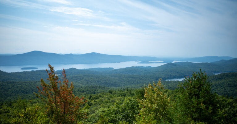
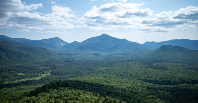
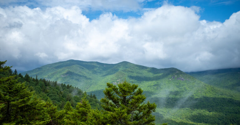
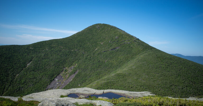
Eight frames follow the hike from Giant Washbowl and Giant Mountain to Rocky Peak Ridge, then back down the Ridge Trail.