Wittenberg-Cornell-Slide Loop Day Hike from Woodland Valley
Trip Snapshot
| Location | Catskill Mountains, New York |
|---|---|
| Starting Point | Woodland Valley Campground and Day Use Area, day-use/interior parking area |
| Route Type | Clockwise loop with road walking |
| Mapped Distance | 14.0 mi |
| Mapped Elevation Gain / Loss | +4,800 ft / -4,800 ft |
| Mapped Elevation Range | 1,342–4,182 ft |
| Route Map | CalTopo route map |
| Main Summits | Wittenberg Mountain, Cornell Mountain, and Slide Mountain |
| Difficulty | Strenuous |
| Technical Difficulty | Moderate scrambling; the hardest moves for me were between Cornell and Slide |
| Best For | Strong, experienced day hikers comfortable with long days and steep rock |
| Trip Date | Early June 2026 |
| Group | Solo |
Scope of this guide: This guide documents my early June 2026 hike. Fees, operating dates, parking procedures, facilities, trail conditions, water, and backcountry rules can change. Check the NYSDEC Woodland Valley page, the NYSDEC Slide Mountain Wilderness page, and current Catskill backcountry notices for your dates.
Overview
This long clockwise loop from Woodland Valley links Wittenberg, Cornell, and Slide in one demanding day, then uses a road walk and the Phoenicia East Branch Trail to close the route.
I’ve added Wittenberg, Cornell and Slide to my Catskill 3500s checklist.
CalTopo estimates the full route at 14.0 mi with +4,800 ft / -4,800 ft of elevation change. Those figures come from the supplied route line and elevation profile; the map does not include usable time data.
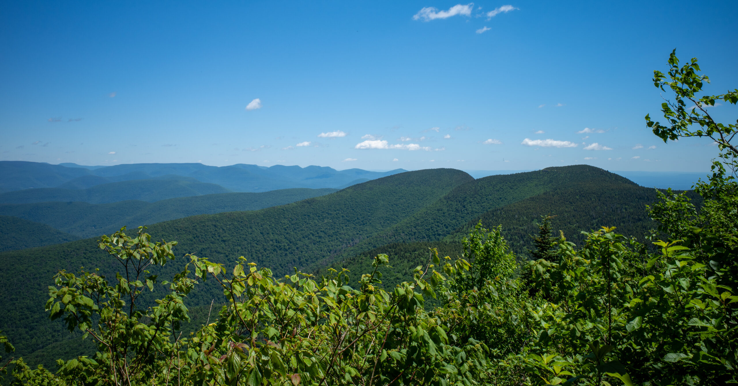
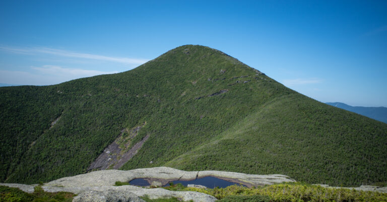
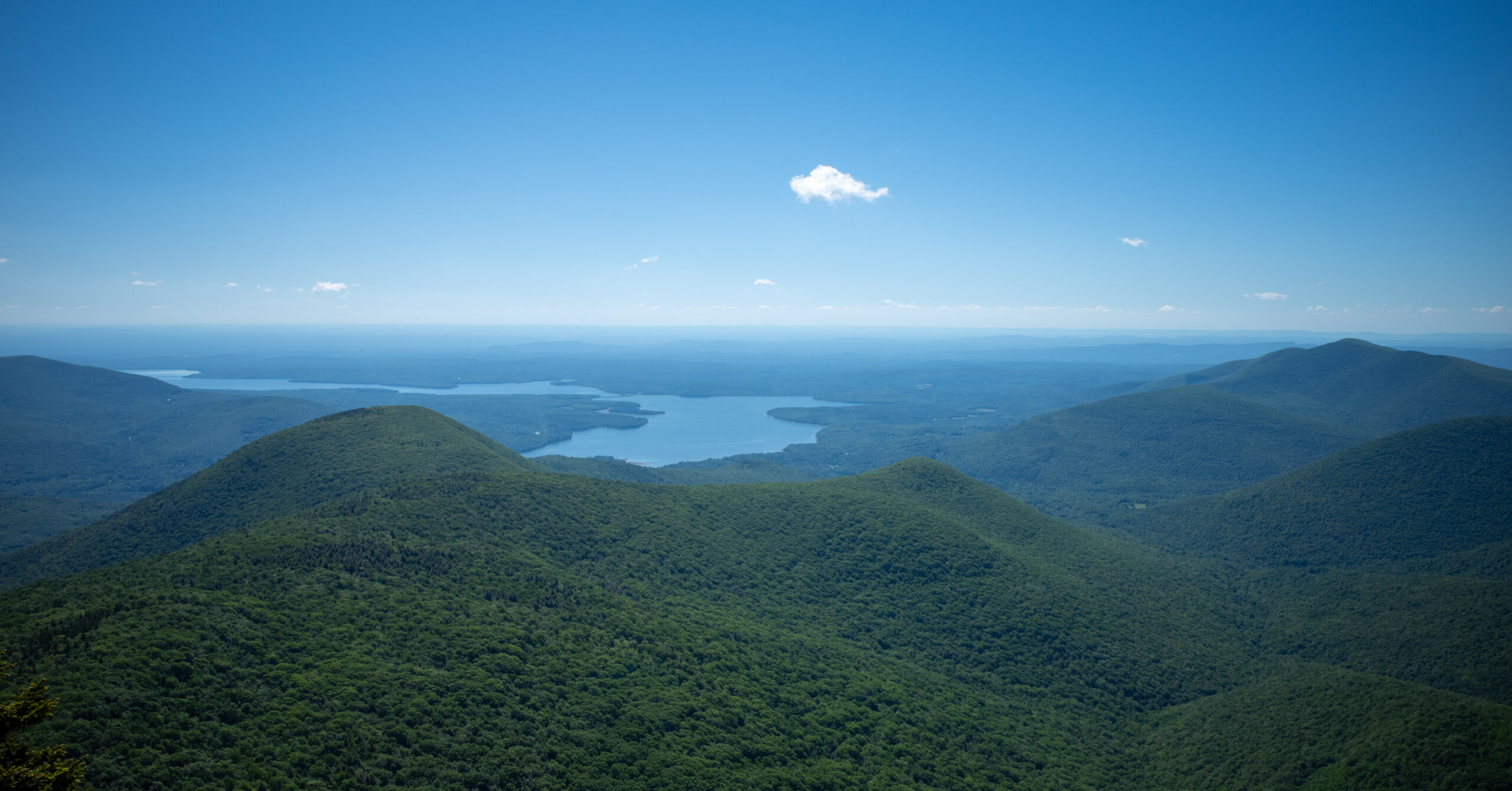
The mountain portion was worthwhile from beginning to end. The initial climb was sustained, the ridge between Wittenberg and Cornell moved quickly, and the steep descent and re-climb between Cornell and Slide supplied the hardest scrambling of the day. Wittenberg had my favorite summit view. Cornell’s actual summit was wooded and underwhelming, although the trail beyond it included worthwhile overlooks. Slide had a good view and a satisfying look back across the terrain I had already covered.
The character changed at Slide. Wittenberg and Cornell felt quieter, while Slide was noticeably busier and more accessible from its standard trailhead. A summit steward was present during my visit, although hikers should not assume one will always be there.
The road walk was the clear weakness. It added time, effort, and more climbing without adding much enjoyment, and several curves and narrow shoulders required attention around traffic. I still think the clockwise loop is worth doing for capable hikers, but a second car, arranged pickup, or other reliable transportation between trailheads would improve it considerably.
Route Map
This CalTopo map shows the clockwise Wittenberg, Cornell, and Slide loop, including the Oliverea Road connection and the Phoenicia East Branch Trail return to Woodland Valley. The route statistics in this guide come from this mapped line and profile. Use the official DEC map for broader trail-network, parking, and road context.
GPX note: The download contains the mapped loop used for the 14.0-mile distance. It has no timestamps or elevation samples, so the guide’s elevation figures come from the CalTopo profile. Treat it as a route reference, not a current report on access, water, traffic, rules, or trail conditions.
Map and statistics note: The snapshot figures are derived from this CalTopo line and elevation profile. CalTopo reports no time for the line, so treat them as mapped route figures rather than a timed activity record. Carry an offline map and a paper map, and check current DEC notices before hiking.
Trailhead & Access
| Start / End | Woodland Valley Campground and Day Use Area |
|---|---|
| Address | 1319 Woodland Valley Road, Phoenicia, NY 12464 |
| Route Type | Clockwise loop with road walking between two Oliverea Road parking areas |
| 2026 Day-Use Fee | $6 per automobile; motorcycles and buses have separate rates |
| 2026 Campground Operating Season | May 15 through October 12 |
| Facilities | DEC lists flush toilets, hot showers, and a chlorinated potable-water system; confirm day-of availability |
My access experience: I rented a car in New York City and stayed near Kingston the night before. The drive from that area to Woodland Valley took roughly 45 minutes in my case, but that is a rough memory rather than a dependable travel time. Woodland Valley Road was paved and generally fine, though narrow in places. The parking area was on the right as I entered, and I found plenty of spaces early in the morning. It looked capable of filling later.
Two-day travel schedule: I drove back to New York City after the hike. That made the second day very long, but it avoided paying for another hotel night. Staying near Kingston again would make the trip more relaxed; it is not essential if you are comfortable driving after a demanding hike.
Paying and finding the trail: During my visit, I walked to the campground office, paid the day-use fee, and received a dashboard ticket. Both card and cash were accepted then. Bathrooms with running water were near the parking area. I did not personally confirm potability during the hike, but DEC’s current management plan describes a chlorinated potable-water system serving campground restrooms and spigots, including day-use infrastructure. Confirm that it is operating normally when you arrive. Current payment procedures and office hours are not posted clearly enough for me to promise the same setup for every visit.
Outbound trail: Locating the clockwise start took me a moment because I had to walk through campground roads and campsites. Staff at the office pointed me in the right direction. Know that the red Burroughs Range Trail is the outbound route before leaving the office area.
Route Guide
The clockwise route puts the sustained Woodland Valley ascent first, keeps my hardest hand-assisted section uphill, and saves the broadest trail for the descent from Slide.
Woodland Valley to Wittenberg Mountain
Expect a direct, shaded climb that becomes strenuous quickly and offers little opportunity to settle into an easy grade.
Follow the red Burroughs Range Trail out of the campground and commit to the climb. The route gained elevation directly rather than using long, gradual switchbacks. Dirt and ordinary rocky Catskills trail gave way to steeper steps and some scrambling. I remember seeing campsite markers on this part of the hike.
The climb was strenuous but not technically extreme in dry conditions. Much of it remained forested and shaded. Wittenberg provided the best summit view of the three peaks for me, concentrated mainly in one direction. A few other hikers were there, but the summit did not feel especially crowded.
Wittenberg to Cornell Mountain
This is the quickest-feeling and most straightforward ridge segment of the three-summit traverse.
Continue west on the red trail. Compared with the initial ascent and the terrain beyond Cornell, this stretch felt relatively easy and passed quickly. A DEC-hosted steward report places Cornell Crack on Cornell’s east side, so the clockwise route encounters it between Wittenberg and Cornell. I do not distinctly remember which individual scramble it was, and I do not remember a large amount of meaningful elevation change across the segment.
Cornell’s actual summit was wooded and did not provide a meaningful view during my hike. I briefly looked around for an overlook and did not find one. Do not judge the entire section by the summit itself, because worthwhile overlooks appeared after I left Cornell toward Slide.
Cornell Mountain to Slide Mountain
For me, the major descent after Cornell and very steep re-climb toward Slide formed the hardest and most consequential section of the day.
Descend carefully from Cornell, then prepare to regain substantial elevation. The descent was steep but manageable on the dry rock I had. The climb toward Slide was much more demanding, with several steep rock faces that required my hands and deliberate choices about each move.
A fall in a few places could have caused an injury. I never needed to remove my daypack, and this was not technical climbing or mountaineering, but the moves were still inappropriate for a complete beginner. The difficulty came from steepness, repeated scrambling, and fatigue accumulated earlier in the day. Wet rock would change this section substantially and make it less safe.
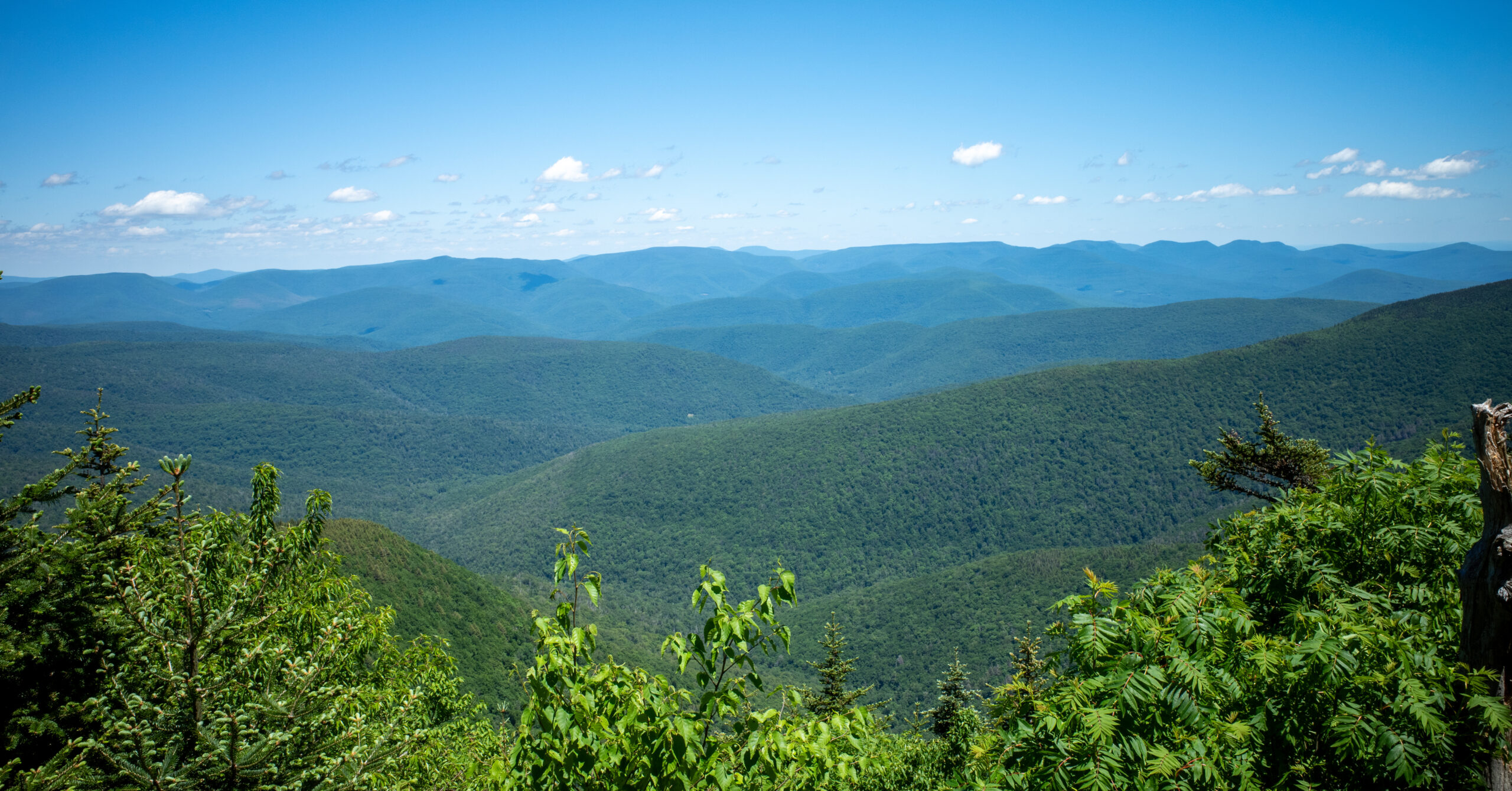
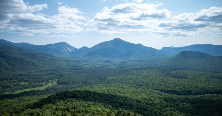
As the trail climbed, viewpoints let me look back toward Wittenberg and Cornell. Seeing the terrain already crossed was one of the most satisfying parts of the loop.
Slide Mountain
Slide offers a worthwhile finish to the range crossing but feels busier and more accessible than Wittenberg or Cornell.
The summit area had a noticeably different atmosphere from the earlier peaks. More hikers were present, and a summit steward was there during my visit. The view remained worthwhile, particularly after the retrospective views on the approach, but Wittenberg was still my favorite summit viewpoint of the day.
Slide Mountain to Oliverea Road
The standard western descent is dramatically easier than the climb from Cornell and provides a welcome reduction in technical difficulty.
Continue west on the red Burroughs Range Trail, then take the yellow Phoenicia East Branch Trail to the Oliverea Road South parking area. The descent was wider, more gradual, and heavily traveled. It made clear why Slide is accessible to a broader range of hikers from this side.
Road Walk and Return to Woodland Valley
The road connection is the least enjoyable part of the loop, followed by a final trail climb that feels larger late in the day.
Walk north on Oliverea Road from the south parking area to the north parking area. The road felt long and included more ups and downs than I wanted at that point. Shoulder space was limited in places, and curves could hide a pedestrian from approaching drivers. I crossed strategically when it was safe so I could stay on the more visible outside of curves.
I passed what appeared to be private lake or club property. The water looked appealing on a warm day, but it was not an appropriate access or swimming point. The road section was manageable with care, but it did not add much to the hike.
At the Oliverea Road North parking area, cross the road and take the yellow Phoenicia East Branch Trail east. Climb to the blue Giant Ledge-Panther trail junction and continue straight on yellow rather than turning toward Giant Ledge. Giant Ledge is not part of this loop. The trail then becomes primarily downhill. Near the end, I reached a small stream and climbed one final rocky, stair-like rise. After that, the remaining return to Woodland Valley was mostly flat or downhill.
Two-day alternative: I met hikers completing the range as a two-day backpack and remember seeing campsite markers along the broader route. A slower version could create more time in the forest and reduce the pressure of one very long day. This guide does not prescribe a campsite itinerary, water plan, or permit strategy. Check current DEC backcountry rules and notices before planning an overnight.
Scrambling & Difficulty
Treat the full loop as strenuous because its length, repeated climbing, steep rock, and late road and trail miles compound one another.
Physical Difficulty
The physical challenge comes from sustained climbing early, a deep drop and re-climb in the middle, and more effort after reaching the road.
The full mapped loop is 14.0 mi with +4,800 ft / -4,800 ft. The initial climb is sustained, the Cornell-to-Slide section gives back and regains substantial elevation, the road adds extra mileage and smaller hills, and the return trail asks for another climb late in the day. Fatigue mattered during the final return.
Technical Difficulty
Most of the route is ordinary rocky Catskills hiking; my hardest hand-assisted moves were between Cornell and Slide.
I remember some scrambling on the approach to Wittenberg and around Cornell, although not every move’s exact position. The hardest moves for me were on the climb from Cornell toward Slide, where several rock faces required careful hand placement. I did not need climbing equipment or need to remove my pack. That does not make the section trivial, especially when tired. Avoid it in wet conditions unless you have the experience to assess the rock and turn around when appropriate.
Who Should Attempt the Full Loop
The route best suits experienced day hikers who can manage steep rock, a long schedule, and conservative food, water, navigation, and transportation plans.
I would not recommend the full loop to a complete beginner. Strong hikers who are comfortable using their hands on steep rock and maintaining judgment late in the day are the right audience. Simpler individual routes in the same area may suit newer hikers better, but they should be planned independently rather than treated as shortened versions of this guide. For a multi-day Northeast comparison with similarly sustained climbing, see my Pemi Loop backpacking guide.
Water
My biggest mistake was treating roughly three liters as enough for my own consumption on a day that became warmer than expected.
I normally drink a substantial amount of water. I started with approximately three liters and ran out shortly after reaching or leaving Slide. I had not brought a filter. Thirst made the road walk and final trail section substantially less enjoyable, and I became grumpy and demoralized. I still had food but did not feel like eating because I was so thirsty.
A stream near the end appeared to have flowing water that might have been filterable, but I did not treat or drink it. I do not remember enough reliable sources elsewhere on the route to promise where water will be available. Carry a quantity suited to your needs and the forecast, bring a filter or other treatment as backup, and never assume a mapped stream will be flowing or safe to drink untreated.
Road Walk & Transportation Options
If I repeated the loop, eliminating or shortening the Oliverea Road walk is the single change I would prioritize.
The road connection between the Oliverea Road South and North parking areas closes the loop, but it also creates the route’s main weakness. Narrow shoulders, curves, and fast traffic require attention. Walk facing traffic where practicable, choose crossings only when sight lines and traffic make them safe, and do not assume drivers can see you around bends.
I completed the full road walk and did not use a shuttle, taxi, rideshare, or second vehicle. If I repeated the loop, I would consider arranging a pickup or staging a second vehicle to shorten or eliminate this section. Treat those as planning options rather than guaranteed services, and confirm the exact pickup point and timing in advance. I have not verified cell coverage, so I would not rely on requesting a ride from the roadside.
Navigation
The trail system was well marked and easy to follow overall, but the campground start, road transition, and Giant Ledge junction deserve advance attention.
I found the route well maintained, with few confusing intersections. The red Burroughs Range Trail handles the three-summit traverse. One yellow Phoenicia East Branch Trail section reaches the Oliverea Road South parking area; after the road walk, a separate yellow section runs from the Oliverea Road North parking area back to Woodland Valley.
Carry an offline map and a paper map, and know the major trail sequence before leaving. Review the transitions again before descending to the road. The most confusing moment for me was simply finding the clockwise outbound trail through the Woodland Valley campground. On the return, remember that the blue turn leads toward Giant Ledge and is not part of this loop.
Seasonal Considerations
Early June worked well for this trip because the route was dry, shaded, and mostly comfortable, but those conditions describe one day only.
I hiked under a clear blue sky with no rain. The mostly forested route provided substantial shade, temperatures were comfortable for most of the day, and the trail and scrambling surfaces were dry. It became warmer later, which exposed the weakness in my water plan. Bugs were present but not severe.
DEC lists Slide Mountain Wilderness as open year-round, but Woodland Valley’s staffed campground season, facilities, and off-season parking procedures differ. Wet rock would make the steep Cornell-to-Slide scrambling substantially harder and potentially unsafe. Check current conditions and DEC advisories before leaving, and do not treat one dry June hike as evidence of what you will find.
What I Would Do Differently
A better water plan and a prearranged ride would improve the day more than any change to the mountain route.
- Carry more than the approximately three liters I brought, based on the forecast and my own high water consumption.
- Bring a filter or other treatment method as backup.
- Arrange transportation to eliminate or shorten the road walk if feasible.
- Keep one trekking pole. I prefer one rather than two and was glad to have it on the steep descents.
- Start early because the full loop is a long commitment.
- Avoid the Cornell-to-Slide scrambling when the rock is wet.
I used a daypack, hiking boots, one trekking pole, roughly three liters of water, and ordinary trail snacks. I would keep the same compact gear approach, but the filter and additional water capacity are important corrections for me.
Is This Hike Worth Doing?
Yes, for strong hikers who understand the mileage, climbing, scrambling, hydration demands, and road exposure before committing.
The route links three major Catskills summits, the excellent Wittenberg view, worthwhile overlooks around Cornell and Slide, varied forest, enjoyable scrambling, and satisfying views back across the range. It feels like a genuine full-day challenge rather than a collection of three interchangeable summit stops.
Cornell’s wooded summit is not a major scenic payoff, and the road walk does not improve the hike. Those weaknesses are real. Even so, the mountain portion was memorable enough that I would repeat the clockwise direction rather than reverse the steep Cornell-to-Slide terrain. Ideally, I would arrange transportation and remove the road section.
Photo Highlights
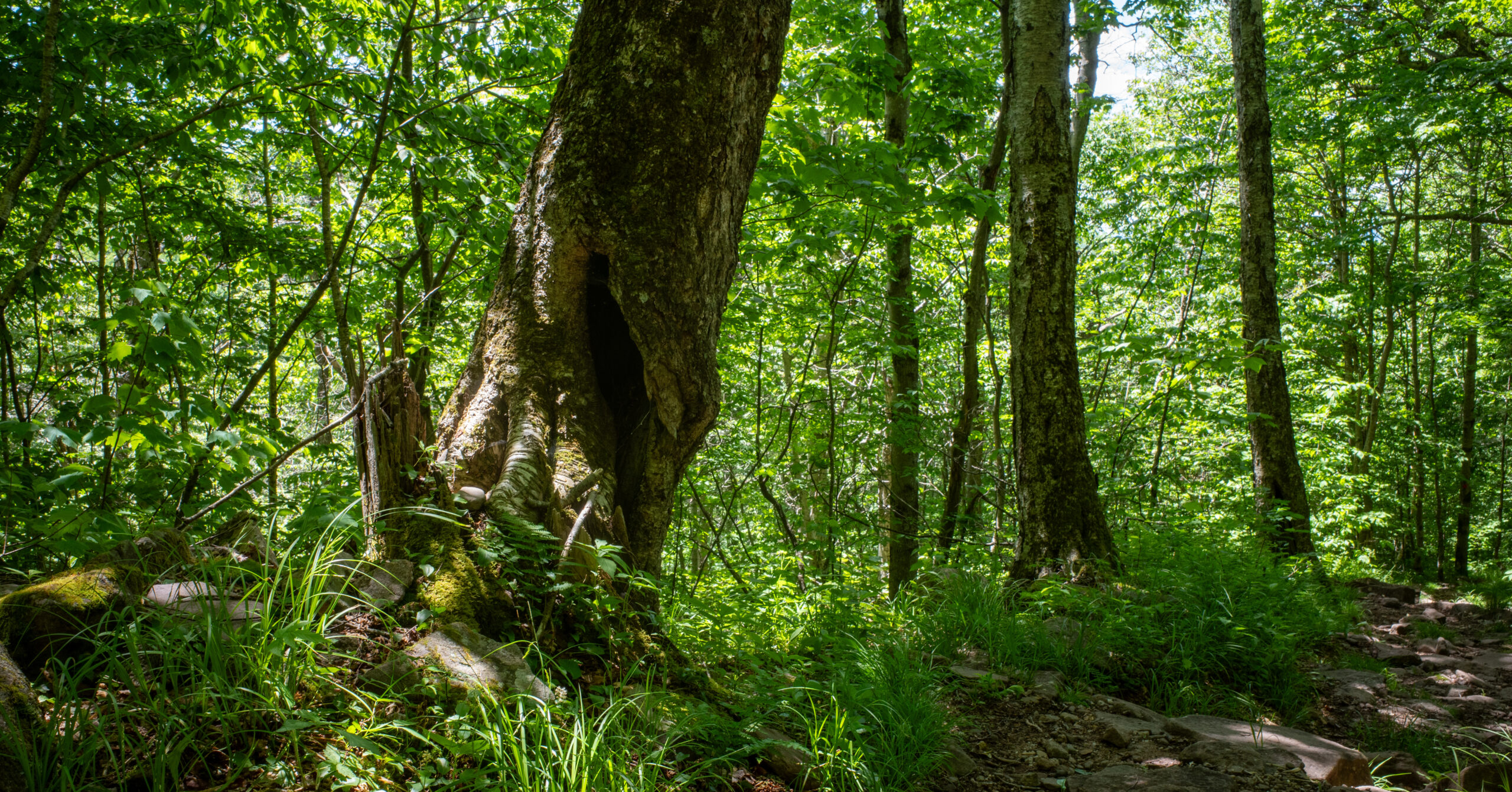
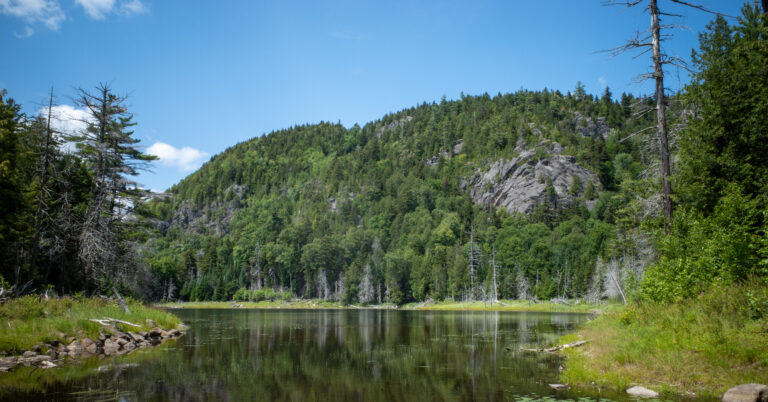
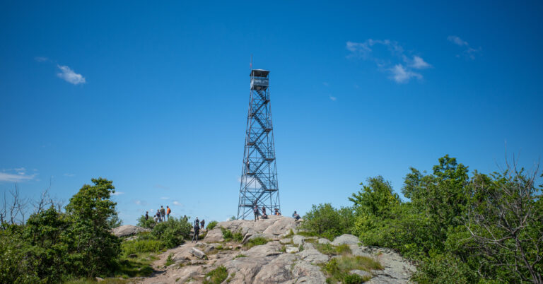
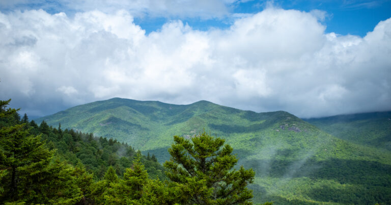
Four frames follow the clockwise route from Wittenberg’s Ashokan Reservoir view through the climb toward Slide and the forested descent.