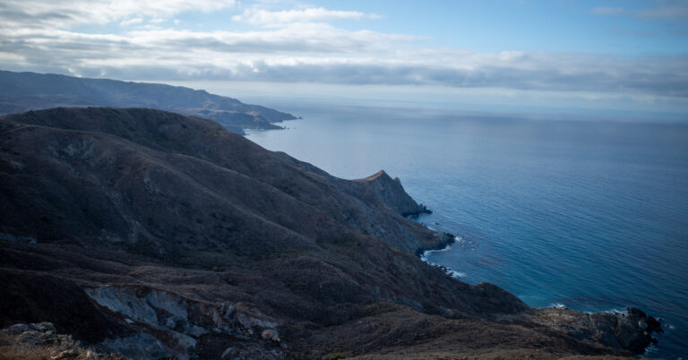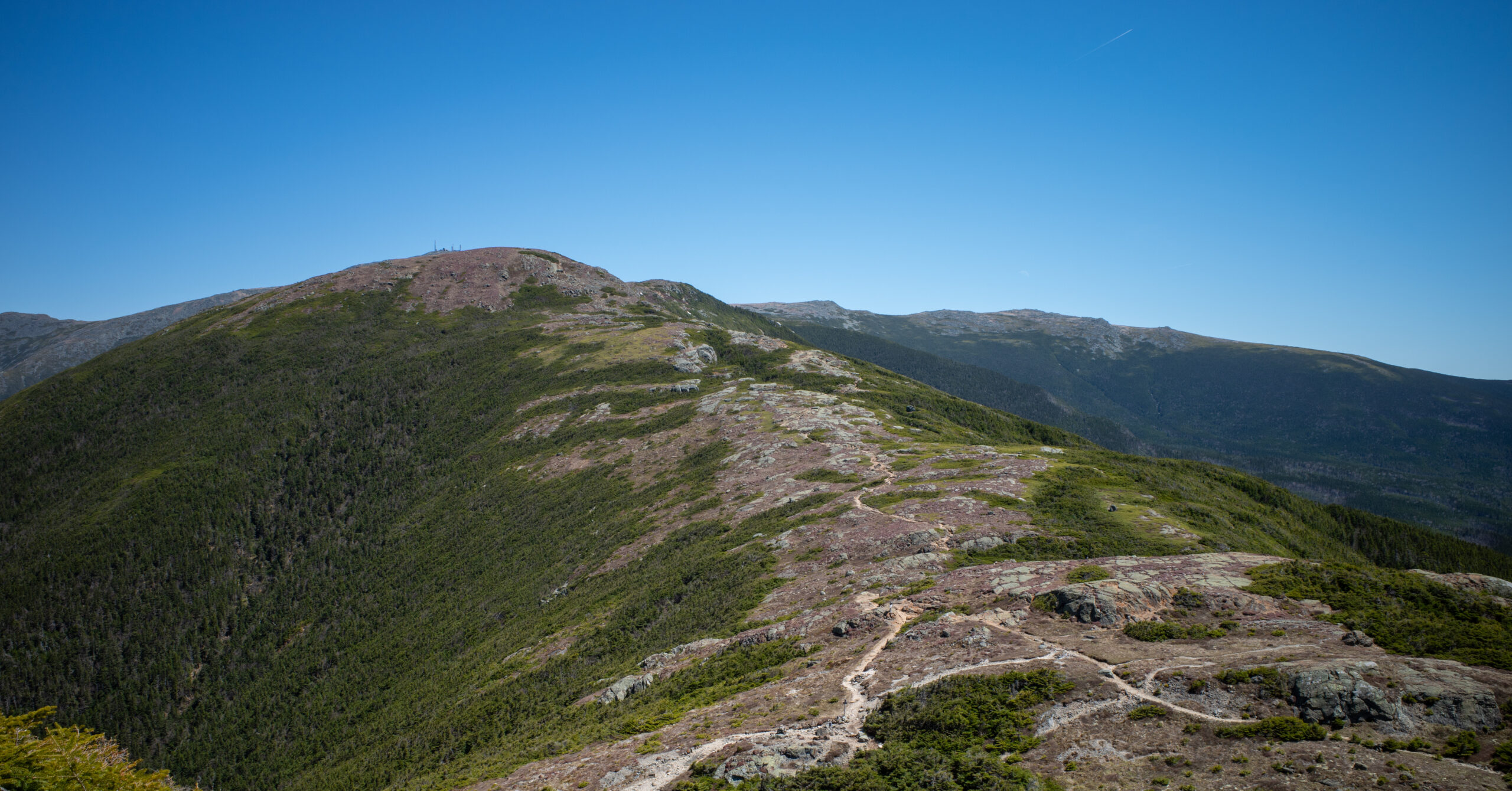
2-Day Mount Eisenhower, Pierce, and Jackson Backpacking Loop
Trip Snapshot
| Location | White Mountains, New Hampshire |
|---|---|
| Route Type | Loop with road walking at the beginning and end |
| Distance | 11.9 miles |
| Duration | 2 days, 1 night |
| Elevation Gain / Loss | +3,770 ft / -3,770 ft |
| High Points | Mount Eisenhower, Mount Pierce, and Mount Jackson |
| Camp | Nauman Tentsite beside Mizpah Spring Hut |
| Difficulty | Challenging |
| Trip Date | Mid-May 2026 |
| Group | Solo |
| Best For | Experienced hikers, including strong mountain hikers planning an early backpacking trip |
Scope of this guide: This guide documents what I experienced in mid-May 2026. Parking, road access, campsite fees, food-storage rules, hut services, water, and trail conditions can change. Check the White Mountain National Forest alerts, forest-road status, and current AMC backcountry campsite and Mizpah Spring Hut information for your dates.
Overview
This compact White Mountains overnight links Mount Eisenhower, Mount Pierce, Mount Jackson, and a designated campsite without turning the trip into an all-day peak-bagging push.
These three summits are on my New Hampshire 4,000-footers checklist.
The route starts with a gradual paved walk on Mount Clinton Road, climbs Edmands Path to the Presidential Range, crosses Eisenhower and Pierce, and spends the night at Nauman Tentsite beside Mizpah Spring Hut. Day 2 continues over Mount Jackson before descending to Route 302 and walking back to the Crawford Connector parking area.
The opening road walk was the only part I found weak. Once I reached Edmands Path, the rest of the trip felt consistently worthwhile. The climb is sustained, the upper trail opens abruptly to broad Presidential Range views, and Eisenhower provides the strongest summit experience of the loop.
I liked this as an overnight because camping created space to enjoy the summits instead of rushing through them to complete a list. It was still a challenging White Mountains trip, especially with a loaded pack, but it never became the kind of punishing day that makes the views feel secondary to finishing.
I recommend the direction described here. It puts the longer road walk first, gives Edmands Path the role of the main approach, makes Day 2 more flexible, and avoids finishing with a long paved exit.
Route Map
The CalTopo map includes the completed route over Mount Jackson plus a shorter exit and a longer Mount Webster option for Day 2. Open the map in CalTopo to inspect the tracks, terrain, and elevation profiles more closely.
GPX note: The download contains Day 1 and three clearly labeled Day 2 tracks. The 11.9-mile guide total uses the completed Jackson-only itinerary; the file also includes a quicker exit and a longer Mount Webster option. Waypoint descriptions record planning notes from this trip rather than current water, access, or service conditions.
Quick Itinerary
| Day | Route | Details |
|---|---|---|
| Day 1 | Crawford Connector parking area → Mount Clinton Road → Edmands Path → Mount Eisenhower → Mount Pierce → Nauman Tentsite | Distance: 7.5 mi Gain/Loss: +3,210 ft / -1,340 ft Timing on this trip: About 8:00 a.m. to 2:00 p.m. High points: Mount Eisenhower and Mount Pierce Water: Carry enough to reach Mizpah Camp: Nauman Tentsite |
| Day 2 | Nauman Tentsite → Webster Cliff Trail → Mount Jackson → Webster-Jackson Trail → Route 302 → Crawford Connector parking area | Distance: 4.4 mi Gain/Loss: +560 ft / -2,430 ft High point: Mount Jackson Terrain: Short rock slabs followed by a steep, rocky descent Water: Fill at Mizpah before leaving Finish: Crawford Connector parking area |
Trailhead & Access
| Start / End | Crawford Connector Trailhead parking area on Mount Clinton Road |
|---|---|
| Nearest Area | Bretton Woods and Carroll, New Hampshire |
| Route Type | Loop with road walking |
| Access Note | The parking area is just off Route 302 on the southern end of Mount Clinton Road. The short access is paved and suitable for a normal car. |
| Facilities | As of August 2026, the U.S. Forest Service lists restrooms and no potable water at the trailhead. |
| Parking During This Trip | There were plenty of spaces on Saturday morning. By Sunday afternoon, the broader area was much busier, the lot appeared full, and cars were parked along nearby roads. |
| Road Note | Mount Clinton Road was closed to vehicles during this mid-May visit, but walking and bicycling were allowed. Seasonal closures vary, so check current status before relying on vehicle access. |
Parking payment: I paid by card at the self-service machine in the Crawford Connector lot during this May 2026 trip and displayed the issued ticket on my dashboard. The machine appeared to offer a cash option, but I did not use it. As of August 2026, the U.S. Forest Service trailhead page lists no fee, so follow the posted instructions when you arrive.
Fees, Camping, and Hut Logistics
Nauman is a first-come campsite with shared platforms, while nearby Mizpah Spring Hut changes service levels by season.
| Nauman Availability | First-come, first-served; no reservations |
|---|---|
| Nauman Platforms | Five small shared platforms for two tents each and two group shared platforms for three to five tents each |
| 2026 Caretaker Fee | $15 per person per night, according to AMC |
| Nauman Facilities | Composting outhouse, dishwashing area, metal food-storage boxes, and a stream listed as the water source; treat stream water |
| 2026 Mizpah Self-Service | May 8 to May 31 |
| 2026 Mizpah Full-Service | June 4 to October 17 |
| Hut Access for Day Visitors | Bathrooms, water refills, daytime access to the main building, and purchases of snacks and hot drinks are listed for both service levels |
What I paid: I paid $10 in cash at a self-service box during this mid-May 2026 visit. As of August 2026, AMC lists a $15 caretaker fee. Check the current page before the trip and be prepared for the posted on-site payment method.
Route Guide
The loop climbs Edmands Path to Eisenhower and Pierce on Day 1, then crosses Mount Jackson before returning through Crawford Notch on Day 2.
Day 1: Crawford Connector Trailhead to Nauman Tentsite
7.5 mi, +3,210 ft / -1,340 ft
A gradual road approach leads into a sustained White Mountains climb, open Presidential Range views, and a steep final descent to camp.
Route
- Leave the Crawford Connector parking area and walk uphill on Mount Clinton Road.
- Turn onto Edmands Path and climb to Crawford Path near Mount Eisenhower.
- Take Mt. Eisenhower Loop over Mount Eisenhower, then rejoin Crawford Path, which carries the Appalachian Trail here.
- Continue south and turn onto Webster Cliff Trail, also the Appalachian Trail, to cross Mount Pierce.
- Descend Webster Cliff Trail to Mizpah Spring Hut and Nauman Tentsite.
Crawford Connector and Mount Clinton Road
I began hiking at about 8:00 a.m. The road walk lasted at least a couple of miles and climbed gradually through shade. Because the pavement made the grade easy to manage, it was not unpleasant, but it was the least interesting part of the route.
I deliberately put the longer road walk at the start. I dislike reaching the end of a mountain trip and finding a long, monotonous exit still ahead, and I did not want to repeat the feeling of the Lincoln Woods walkout at the end of the Pemi Loop.
Edmands Path
The Edmands Path junction was obvious from the road. The lower trail began with dirt, rocks, and roots at a manageable grade, then became substantially steeper. It remained well built and maintained, with rocky steps, steep dirt, and a few moves that felt like light scrambling without becoming unusually technical for the White Mountains.
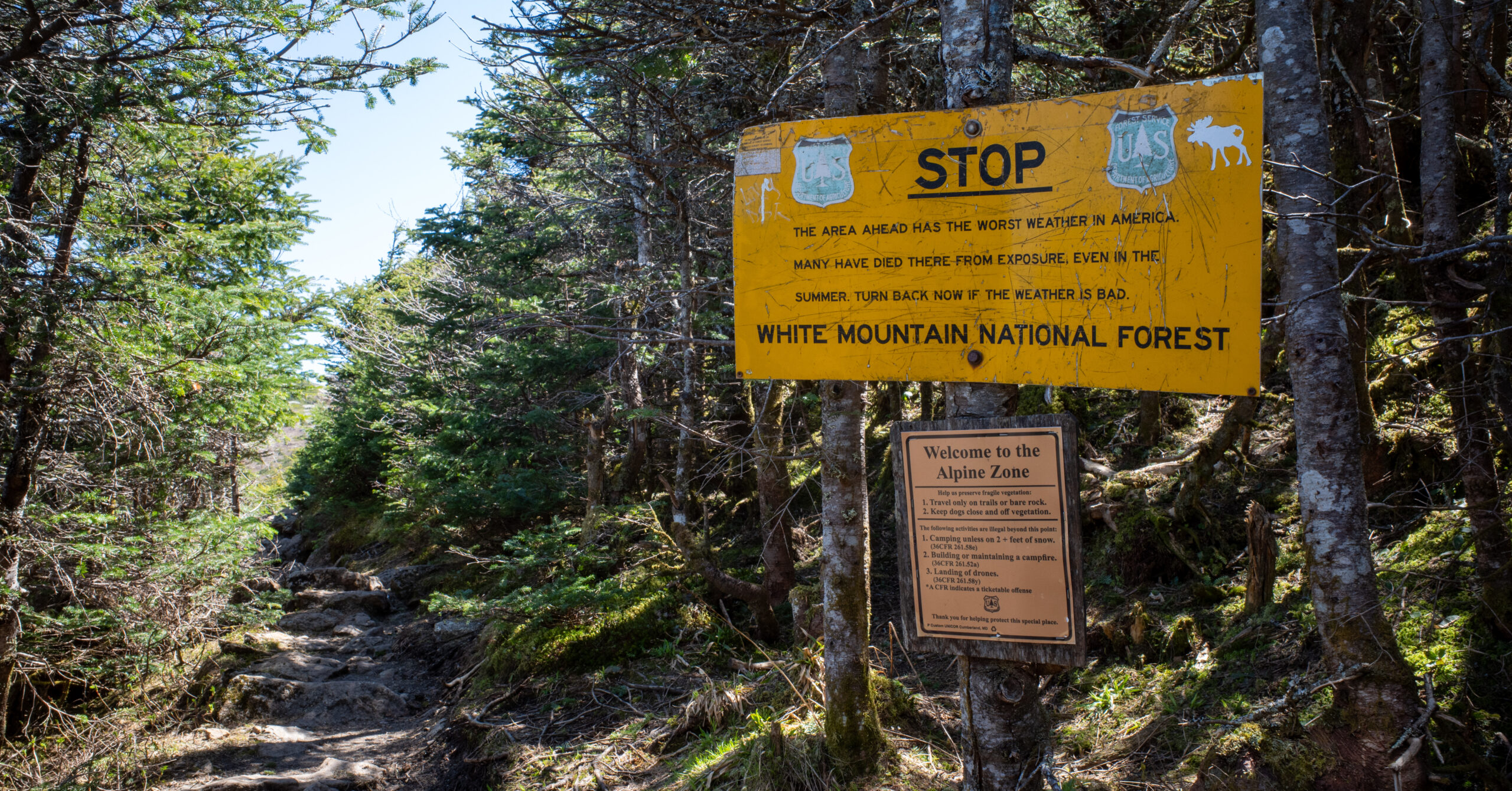
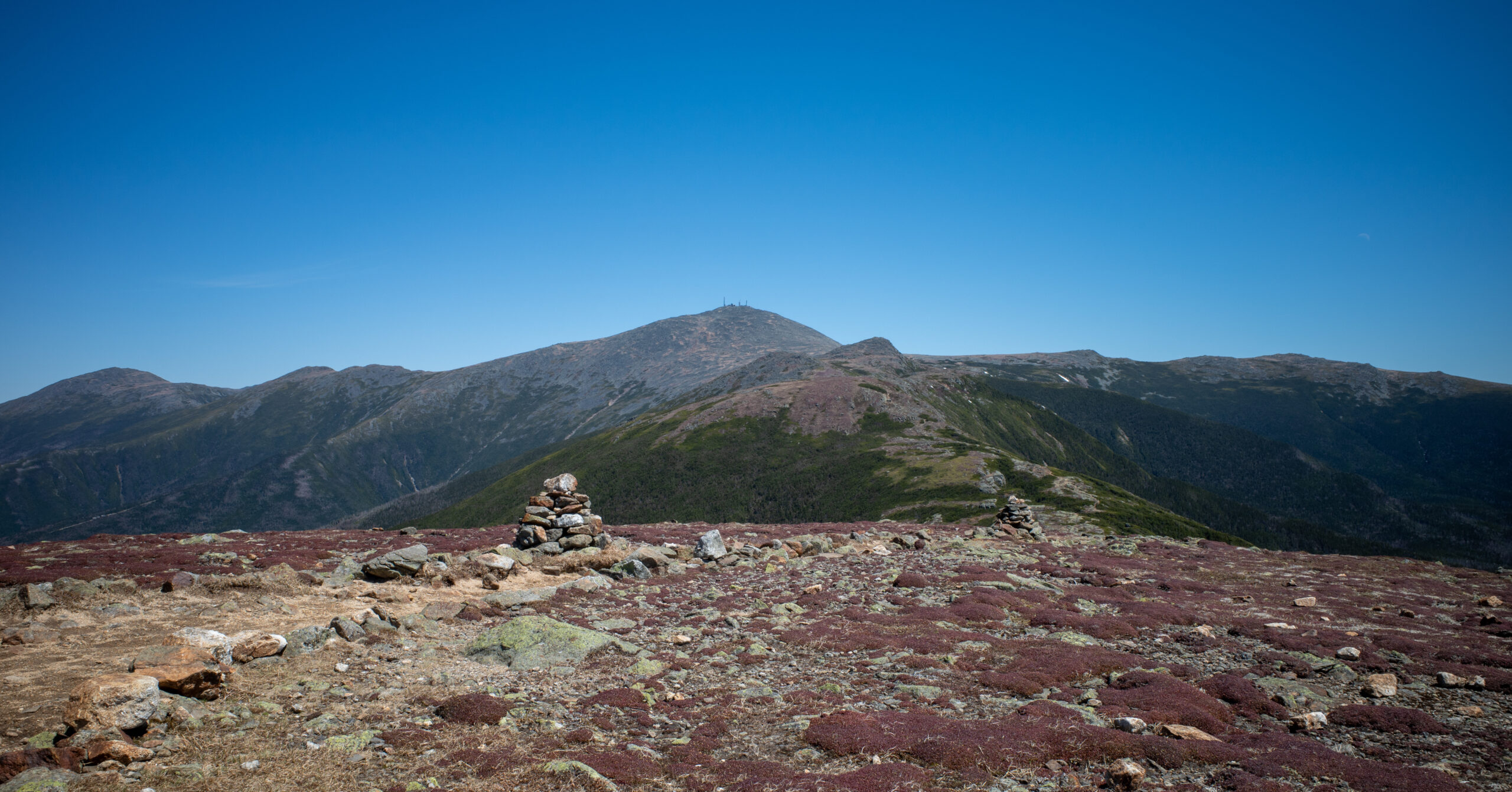
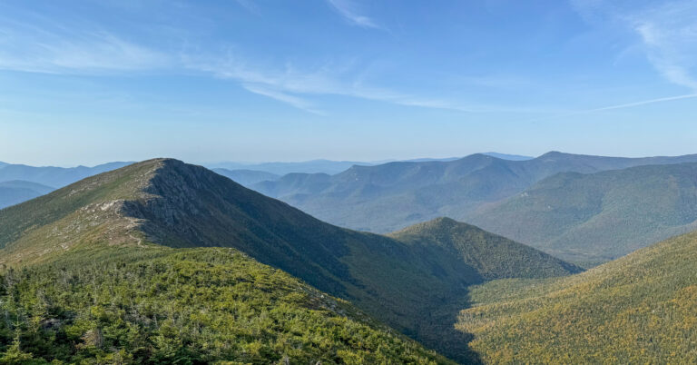
The upper trail became rockier and crossed an open mountainside section. One of the strongest moments of the trip came when I emerged suddenly from the trees. After an extended forest climb, the view opened across the Presidential Range and the surrounding valley. I remember Mount Franklin and Mount Monroe most prominently, with Mount Washington farther away and portions of the Cog Railway infrastructure visible in the distance.
Mount Eisenhower
Near the Crawford Path junction, the signed route toward Eisenhower was easy to identify. I kept my full backpack and followed Mt. Eisenhower Loop steeply but briefly to the summit.
Eisenhower has a broad rocky summit surrounded by alpine vegetation, with a large cairn and plenty of space to sit. The immediate summit rock can block a perfectly clean view over an edge, but moving around opens views in several directions. Only a few other people were there, and it never felt crowded.
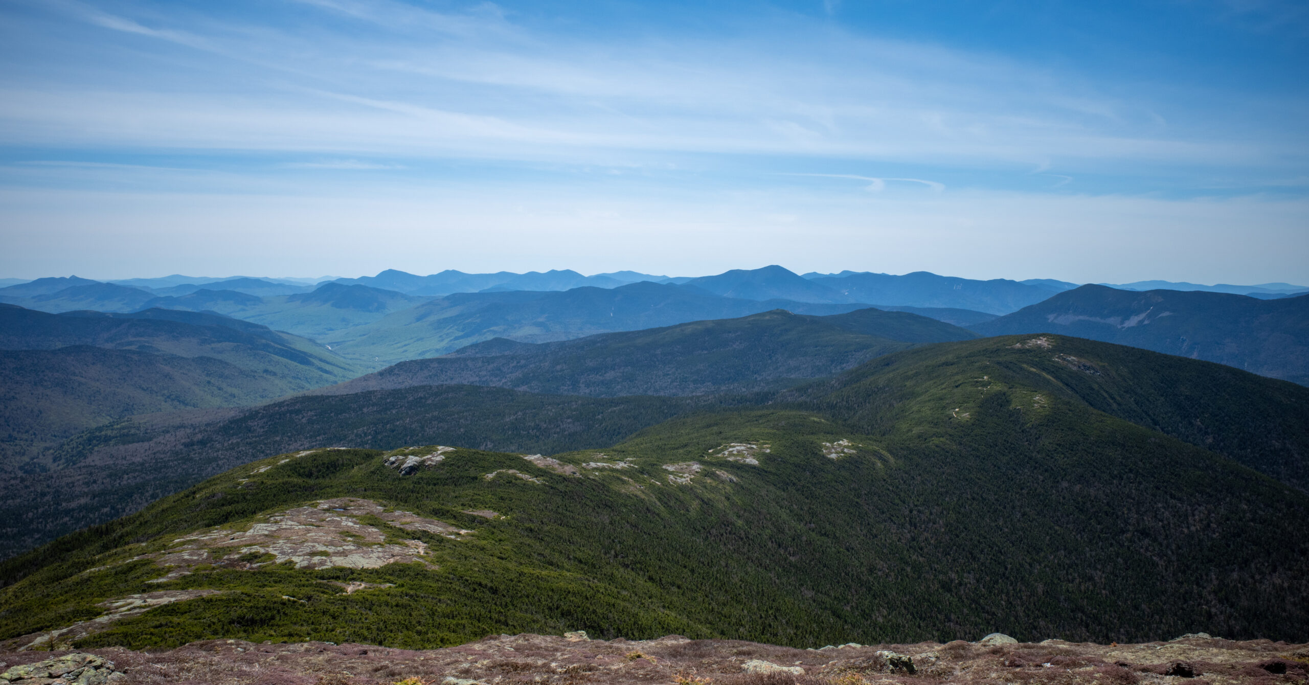
A light breeze was enough for me to add a shell, after which I stayed comfortable. Looking back toward Franklin, Monroe, and the ground already climbed was one of the best parts of the trip.
Eisenhower to Mount Pierce
After descending the other side of Eisenhower, I rejoined Crawford Path and continued toward Pierce. This section included good ridge travel, with some time in the trees and natural climbing and descending between the summits.
Pierce felt less dramatic and less clearly defined than Eisenhower. The immediate summit area was more wooded and did not provide the same broad panorama. It was still a worthwhile part of the route, but Eisenhower was the clear summit highlight for me.
Pierce to Nauman Tentsite
The descent on Webster Cliff Trail toward Mizpah Spring Hut and Nauman Tentsite became steep, especially near the end. It remained well maintained and did not feel unusually difficult by White Mountains standards. I had no meaningful navigation problems and reached camp at about 2:00 p.m.
Day 2: Nauman Tentsite to Crawford Connector Trailhead via Mount Jackson
4.4 mi, +560 ft / -2,430 ft
A flexible second day crosses short rock slabs on Mount Jackson, descends steeply to Route 302, and ends with a brief road walk.
Route
- Leave Nauman Tentsite and continue south on Webster Cliff Trail toward Mount Jackson.
- Cross the wooded and boggy terrain north of Mount Jackson.
- Climb the final rock slabs to the Mount Jackson summit.
- Descend the Mount Jackson branch of Webster-Jackson Trail, then continue on the shared lower Webster-Jackson Trail to Route 302.
- Turn right along Route 302, pass Saco Lake and the AMC Highland Center, then walk up Mount Clinton Road to the Crawford Connector parking area.
Nauman to Mount Jackson
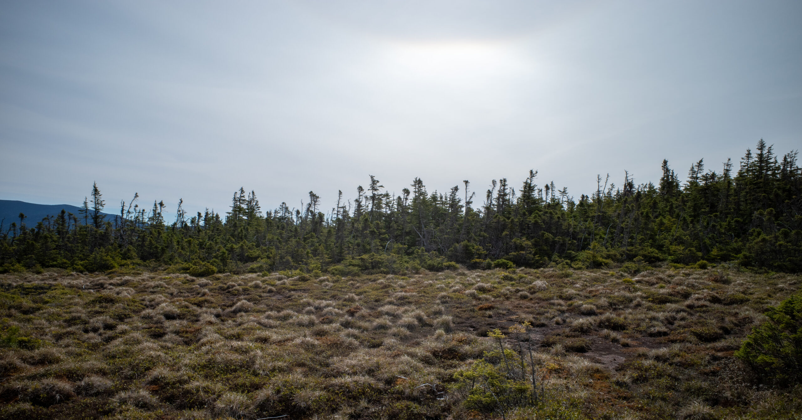
I woke shortly after sunrise, ate breakfast, and took my time packing because Day 2 was not especially long. Webster Cliff Trail initially stayed in the forest, then became rockier and somewhat boggy around the North Peak label shown on my map. That label is not a signed or officially recognized summit. Bog bridges covered the worst wet sections.
The final approach to Jackson had the most technical terrain of the trip. Several short, steep rock slabs required scrambling. They were not highly technical or unusually exposed, and my legs were relatively fresh because Jackson came early in the day, but this would be a meaningful step up for someone with no experience on steep rock.
Mount Jackson
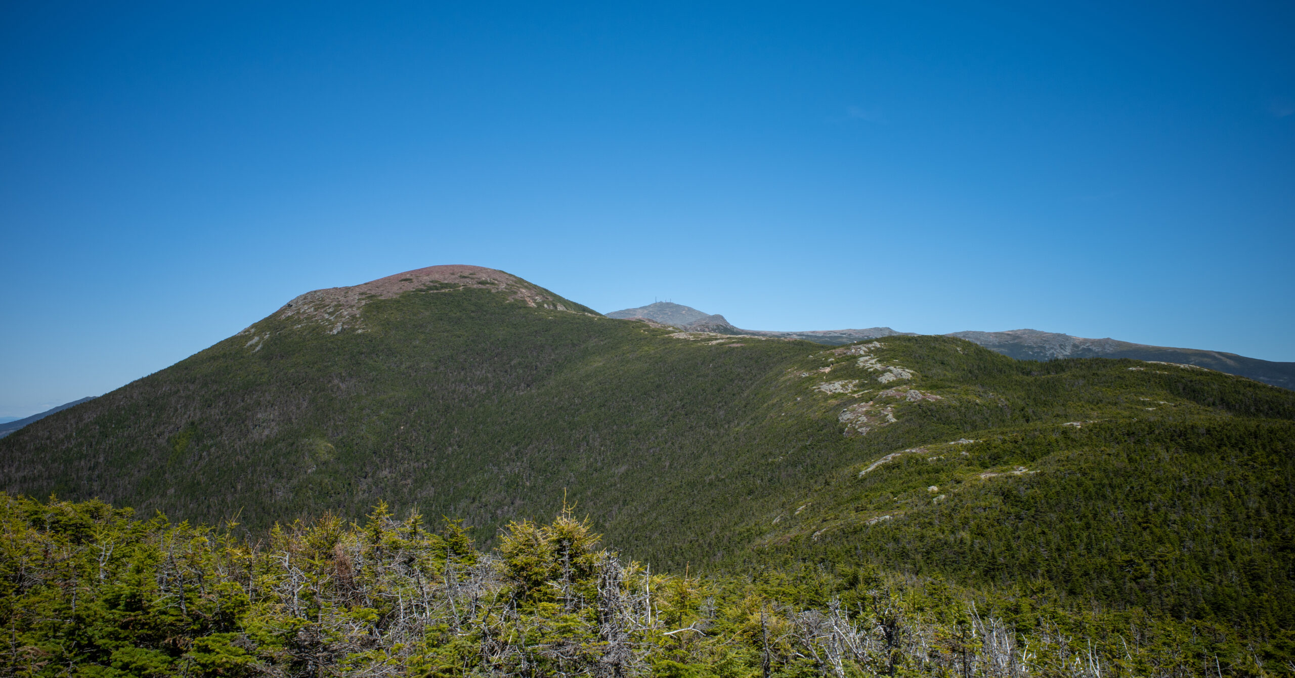
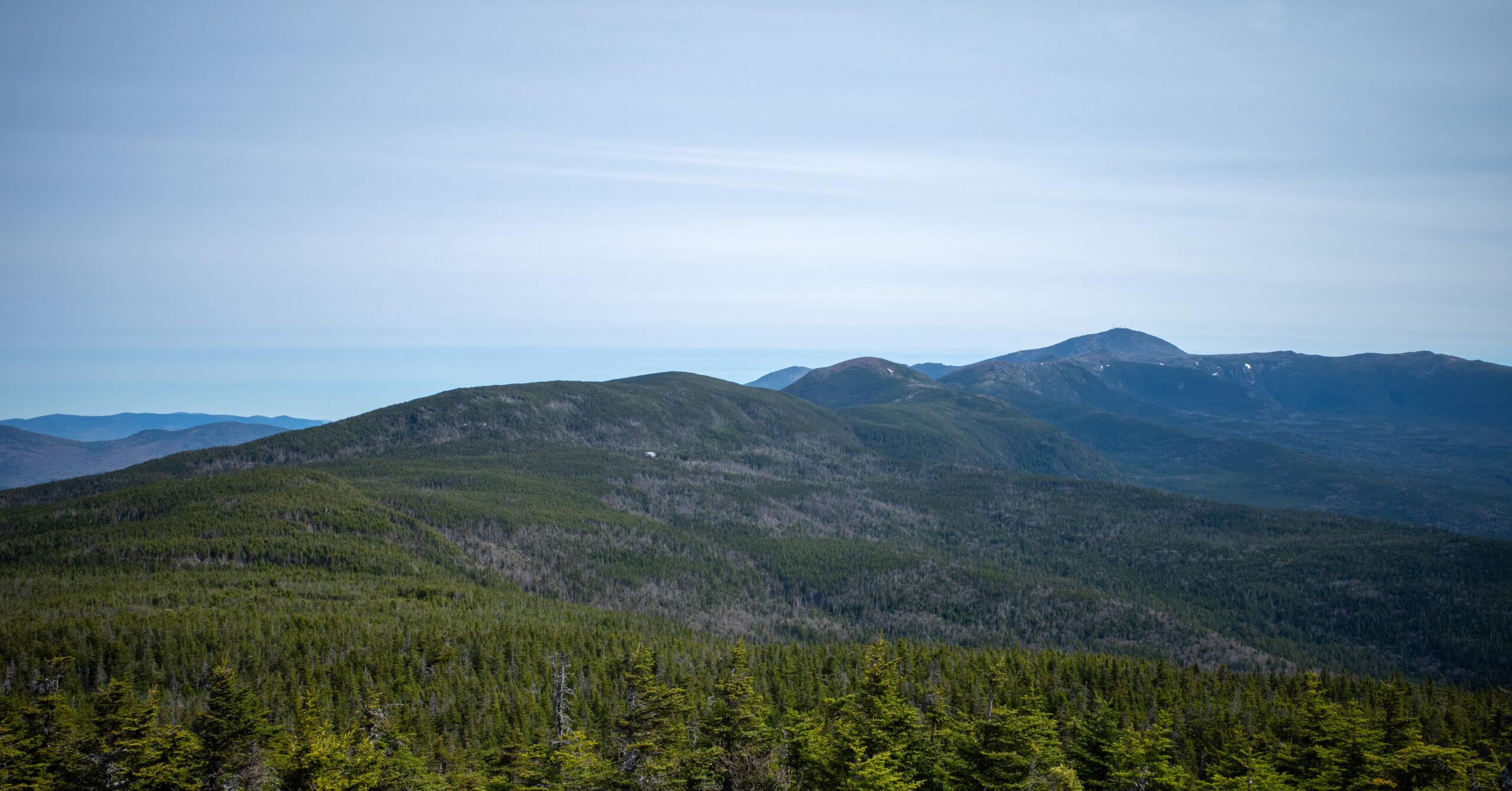
Mount Jackson provided strong views back toward the route already completed. I could look down toward Mizpah Spring Hut and see Pierce and the surrounding peaks. Seeing the previous night’s camp and the ground already traveled added substantially to the sense of accomplishment.
A few other hikers were on the summit, but it did not feel crowded. I stayed only briefly before starting the descent.
Webster-Jackson Trail Descent
The descent was steep, rocky, and occasionally slippery. Water flowed over or beside the rock in a few places, so wet footing required attention. I did not encounter dangerous conditions, and the descent went relatively quickly despite the grade.
There were no confusing junctions. Once I was descending on the correct route, the way to Route 302 was straightforward.
Return Road Walk
At Route 302, I turned right toward Saco Lake and the Highland Center. There was a shoulder, and the walk felt manageable, but vehicles moved quickly. Stay alert and walk carefully along this stretch.
I stopped inside the Highland Center to rest, then completed the short walk up Mount Clinton Road to the Crawford Connector parking area.
Nauman Tentsite and Mizpah Spring Hut
The designated campsite and nearby hut made this route practical, comfortable, and especially well suited to a solo overnight.
Camp Layout and Social Atmosphere
Seven shared platforms are spread through the woods, and the communal camp setting added more to the trip than I expected.
As of August 2026, AMC lists five small shared platforms and two group platforms. They are distributed through the wooded site rather than packed into one tight cluster, and some appeared more sheltered than others. When capacity allows, walk through the site and look at the available platforms before choosing one.
I had an entire platform to myself. The site was not crowded during this mid-May weekend, with roughly seven or eight people total, including the caretaker. That was much quieter than I expected after busier campsite experiences around the Pemi Loop.
The social atmosphere was one of Nauman’s best features. After dinner, hikers sat together and talked about the routes they had completed, plans for the next day, and other White Mountains trips. For a solo backpacker, that shared camp experience was a meaningful part of the overnight. Peak-season conditions may be far busier, and shared platforms should be expected.
Platform Setup
A standard freestanding tent works on the platforms, but purpose-made platform stakes would make the setup easier.
I used a normal freestanding tent. Securing it was awkward because routing ordinary stakes and lines through the platform openings and toward the ground did not create an ideal setup. Another camper recommended fishbone-style tent-platform stakes, which would be useful in rain or wind. No single product is required, but some reliable platform anchoring method is worth carrying.
Cooking and Food Storage
During this trip, cooking stayed in a designated area and shared metal boxes handled food storage.
The cooking area had seating, and cooking was restricted to that area during my visit. I used the two shared bear boxes I found at camp and did not carry a canister or Ursack. They had ample room on this quiet weekend, but that should not be assumed during a busier period.
The AMC campsite page checked in August 2026 lists metal food-storage boxes and a dishwashing area at Nauman. Follow the caretaker’s instructions and current posted rules, since food-storage requirements and box availability can change.
Hut Access and Night Conditions
Mizpah was in its quieter self-service season, with water, restrooms, indoor space, and limited purchases available.
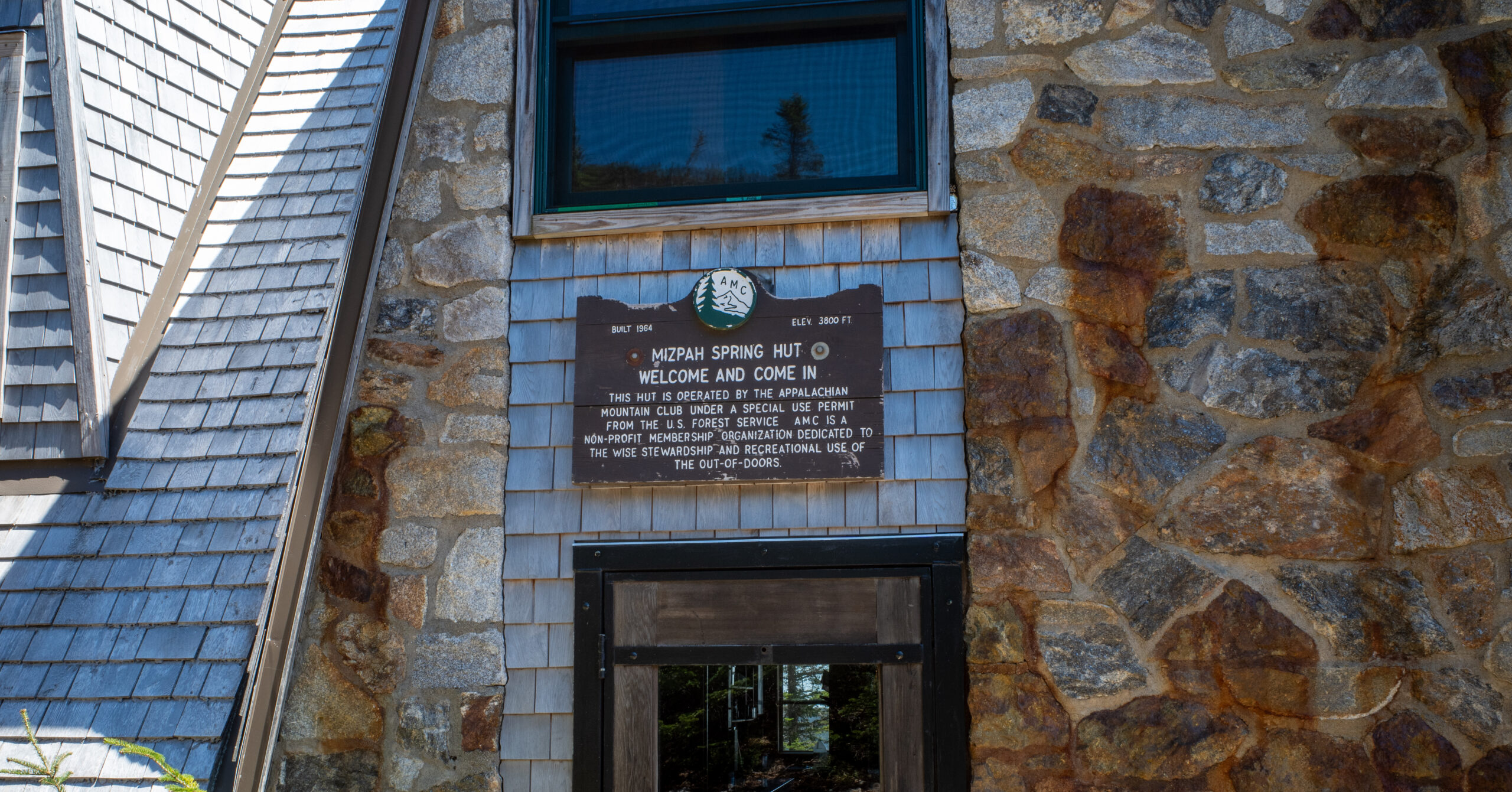
The hut had a caretaker but was not operating at full summer service. As a tent-site camper, I used the indoor potable-water tap, restrooms, and common space. Snacks, coffee, and tea were available for purchase, although I did not buy anything.
The limited-service period worked in my favor because the building had plenty of room and did not feel crowded. As of August 2026, AMC lists bathrooms, water refills, daytime main-building access, snacks, and hot drinks for visitors during both self-service and full-service periods.
The night was cool but not severely cold. I used a 15-degree sleeping bag and was very comfortable. It was cold enough that getting out of the bag in the morning was unappealing, but there was no major overnight weather problem. The campsite and hut area did not produce a memorable sunset or sunrise, so I would not choose Nauman primarily for scenery from camp.
Water
Leave the trailhead with enough water to complete the climb to Mizpah rather than depending on an uncertain first-day source.
I carried enough water to reach Mizpah Spring Hut comfortably. I also carried a filter as backup but did not use it. I do not remember a dependable, convenient natural source along the Day 1 route before the hut, which is not the same as saying the route is completely dry.
Water was available from the indoor potable tap at Mizpah during this May 2026 visit. As of August 2026, AMC lists hut water refills and a stream at Nauman, but access and seasonal availability still deserve a current check before departure.
Navigation Notes
The route was well signed and straightforward in normal visibility, with relatively few complicated junctions.
I used a paper map as my main navigation tool and kept an offline map as backup. I had no navigation problems or need to backtrack. In the clear conditions I encountered, the trails were very well marked, the corridor was obvious, and the important junctions were signed. Mount Clinton Road and Edmands Path created a straightforward approach, and the trail system between Pierce, Mizpah, Jackson, and Route 302 was easy to follow.
I would still carry both a paper map and an offline backup for confirming junctions, understanding the surrounding peaks, reviewing topography, and evaluating shorter exits. They matter more if weather reduces visibility or if a change in conditions requires leaving the planned route.
Fog would remove the views but would not necessarily make the maintained trail impossible to follow. Thunderstorms, high wind, and severe weather near Eisenhower are more serious concerns than ordinary route-finding.
Route Options and Bailouts
The completed route over Jackson is the main itinerary, but the second day can be shortened or extended after checking the relevant trail details.
- Shorter exit: From the Mizpah and Nauman area, use Webster Cliff Trail, Mizpah Cutoff, Crawford Path, and Crawford Connector to return toward the parking area without crossing Jackson. Day 2 is 2.5 mi with +40 ft / -1,910 ft; the full trip is 10.0 mi with +3,250 ft / -3,250 ft.
- Completed route: Continue south on Webster Cliff Trail over Mount Jackson, then descend Webster-Jackson Trail to Route 302. Day 2 is 4.4 mi with +560 ft / -2,430 ft; the full trip is 11.9 mi with +3,770 ft / -3,770 ft.
- Longer option: Extend the route on Webster Cliff Trail to include Mount Webster before descending. Day 2 is 5.5 mi with +830 ft / -2,700 ft; the full trip is 13.0 mi with +4,040 ft / -4,040 ft. Confirm weather exposure and the trail sequence from a current map rather than treating it as a casual add-on.
I liked knowing Day 2 could be shortened if necessary. That flexibility makes the trip more approachable for an experienced hiker planning an early backpacking trip. It does not make the route easy, but it gives you a meaningful decision point after the overnight.
The direction described here remains my preference. It places the longest paved walk first, makes Edmands Path the main climb to the ridge, and creates a manageable second day. The reverse direction is possible, but it would put a full first-day load on the steep Jackson terrain and leave more road walking for the finish.
Difficulty and Solo Suitability
This can be a reasonable first backpacking trip for a strong mountain hiker, but it is not an introduction to hiking, mountain terrain, and backpacking all at once.
Who This Route Is For
The best fit is a hiker who already understands their pace and has experience on steep, rocky mountain trails.
White Mountains mileage can feel modest on paper while the terrain remains physically demanding. A loaded pack makes the sustained Edmands Path climb harder, Jackson adds short slab scrambling, and the Eisenhower area creates real above-treeline exposure.
For someone with meaningful hiking experience, the designated campsite and shorter Day 2 options make this more approachable than larger White Mountains circuits. It felt like a compact glimpse of some terrain and rhythm found on the Pemi Loop, with substantially less mileage and a deliberately less punishing itinerary.
Solo Fit
Straightforward trails, a designated campsite, hut access, shared food storage, and shorter exits made this a good solo candidate for me.
Nauman made a particular difference. Other hikers and the caretaker created a social environment without changing the independence of the trip. Even while hiking alone, I ended the day with people who had all chosen to spend their weekend climbing difficult mountains.
Solo travel is never risk-free. There was no cell service at Nauman during this visit, and I would not rely on service elsewhere on the route. Carry a map, share the plan, understand the shorter exits, and make conservative weather decisions.
Mid-May Trail Conditions
This particular mid-May weekend was unusually favorable and should not be treated as a forecast for another year.
- Almost no remaining ice on the completed route
- No need to use the microspikes I carried
- Very little mud, with a small amount near Jackson
- Bog bridges over the worst wet areas
- Dry and manageable scrambling
- No blowdowns or major trail damage worth noting
- Sunny to partly cloudy weather with no significant rain
- Light wind near Mount Eisenhower
Another camper had traveled from the Mount Monroe area and reported using microspikes on ice patches. Conditions differed even within the same weekend, likely because elevation, slope, and trail aspect matter. I would still carry microspikes on another mid-May attempt for peace of mind.
Seasonal Considerations
Cool temperatures, light crowds, little ice, and a stable forecast made this May trip work, but shoulder-season conditions can be completely different.
Snow and ice may remain at elevation, mud can be much worse, and hut services may be limited or unavailable. Mount Clinton Road may still be closed to vehicles. Year-to-year variation is substantial, so a good weekend in one May says little about the same dates in another year.
Before leaving, check the Mount Washington Observatory weather and higher-summits forecast, current AMC weather and trail information, and the White Mountain National Forest alerts.
- Avoid exposed ridge travel when thunderstorms or severe wind are possible.
- Carry layers and a shell even when the trailhead feels comfortable.
- Bring traction when shoulder-season conditions warrant it.
- Carry enough water to reach Mizpah without depending on an uncertain source.
- Know the shorter exit from the Mizpah and Nauman area.
- Use extra care on wet rock during the descent from Jackson.
- Do not rely on cellular service.
Is This Worth Backpacking?
Yes, especially for a hiker who wants a real White Mountains challenge with time to enjoy the views rather than rush through three summits.
The route reaches three 4,000-footers with genuinely rewarding summit and ridge views. Eisenhower was especially satisfying, and Jackson added a strong look back toward the previous night’s camp and the route already completed.
I have reached a point where cramming too many peaks into one day can take the enjoyment out of hiking. I would rather camp, slow the route down, and have time to appreciate the views than turn the entire trip into a grind just to check mountains off a list. Nauman’s practical facilities and social atmosphere made that approach work particularly well on a solo trip.
Strong day hikers who dislike camping may reasonably prefer to link the peaks in one day. Backpacking is not objectively the better format. For me, the overnight made the route more enjoyable and gave each summit enough space to feel like part of a trip rather than a checkpoint.
I would gladly repeat this loop with a friend who wanted to climb these peaks. On my own next White Mountains trip, I would probably choose different mountains because there are many routes I still want to explore. It is a very good Northeast weekend route.
What I Would Do Differently
I would bring fishbone-style tent-platform stakes and otherwise keep the route, gear plan, and direction the same.
Wooden platforms are common at designated White Mountains campsites, and purpose-made platform stakes would make a secure tent setup easier, especially in rain or wind.
Photo Highlights
Eight frames follow the route chronologically from the upper Edmands Path and Mount Eisenhower to Mount Pierce, Mizpah Spring Hut, and Mount Jackson.