3-Day Bourn Pond–Stratton Pond Loop Backpacking Guide
Trip Snapshot
| Route | Bourn Pond–Stratton Pond Loop |
|---|---|
| Region | Green Mountain National Forest and Lye Brook Wilderness, Vermont |
| Route Type | Loop with an optional summit out-and-back on Day 2 |
| Distance | 23.6 miles |
| Days | 3 days, 2 nights |
| Elevation | +4,300 feet / -4,300 feet |
| Difficulty | Beginner-friendly, but not effortless |
| Trip Date | Late July 2024 |
| Water | Frequent on this trip; treat all pond and stream water |
| Camping | Established tenting at Bourn Pond and Stratton Pond |
| Permit | None was required for my July 2024 trip; verify current rules |
Scope of this guide: This guide reflects my late July 2024 trip. Water levels, crossings, fees, campsite procedures, road access, facilities, and trail conditions can change. Check current Green Mountain National Forest and Green Mountain Club trail information before leaving.
Overview
This three-day Vermont loop links quiet pond camping, less-traveled trails in Lye Brook Wilderness, well-maintained Appalachian Trail and Long Trail miles, and an optional climb of Stratton Mountain.
I chose this route for my first backpacking trip in several years and my friend’s first backpacking trip. It offered moderate daily mileage, frequent water during our trip, established camps, no technical terrain, and a summit that we could remove if the trip was going poorly. It was also close enough to civilization that forgotten gear or other beginner mistakes felt manageable, even though cell service disappeared before the trailhead.
The loop exceeded my expectations. Bourn Pond felt quiet and wild, the rougher non-AT trails provided real solitude, and the bog boards near the pond gave the walking more variety than I expected. Stratton Pond was beautiful but much more communal. Stratton Mountain supplied the trip’s biggest climb and best panoramic views, while the North Peak extension added an unusual look at ski-area infrastructure without much extra effort.
This is not a route with nonstop viewpoints. Long stretches are wooded, and parts of Day 3 are peaceful rather than visually dramatic. That tradeoff is part of the appeal for hikers who want an approachable first trip, a gear shakedown, or a relaxed three-day loop. Hikers seeking technical terrain, constant alpine scenery, or an itinerary that pushes them to their limit should choose something harder.
Route Map
This is the exact CalTopo route used for the mileage and elevation statistics in this guide. Download it for offline reference before losing cell service.
GPX note: The route and waypoint descriptions record planning notes and observations from this July 2024 trip. They are not a current report on water, crossings, trail conditions, facilities, or campsite procedures.
Quick Itinerary
| Day | Route | Details |
|---|---|---|
| Day 1 | Prospect Rock Trailhead → William B. Douglas Shelter → South Bourn Pond Tenting Area | Distance: 6.4 miles Gain/Loss: +1,730 feet / -250 feet Water: Streams and Bourn Pond Camp: Established pond-side tenting area |
| Day 2 | Bourn Pond → Stratton Pond → Stratton Mountain and North Peak → Stratton Pond | Distance: 10.0 miles Gain/Loss: +2,240 feet / -2,140 feet Water: Streams and Stratton Pond Camp: Platform at Stratton Pond |
| Day 3 | Stratton Pond → AT/LT → Prospect Rock Trailhead | Distance: 7.2 miles Gain/Loss: +330 feet / -1,900 feet Water: Streams along the route Finish: Mostly downhill return to the trailhead |
Trailhead & Access
| Start / End | Prospect Rock Trailhead |
|---|---|
| Region | Southern Green Mountains near Manchester, Vermont |
| Route Type | Loop |
| Access Note | Download driving directions and offline maps before the final approach because cell service can disappear. |
My July 2024 access: We reached the trailhead in a normal sedan at about 10 a.m. Parking was not a problem, and the area had room for a reasonable number of cars. I do not remember a bathroom, trash, potable water, or other facilities. Verify current road access and parking rules before the trip.
Route Guide
The itinerary keeps full-pack mileage moderate and makes the hardest climb an optional side trip from camp.
Day 1: Prospect Rock Trailhead to Bourn Pond
6.4 mi, +1,730 ft / -250 ft
Route
- Start on Prospect Rock Trail and watch for the short Prospect Rock overlook spur.
- Continue briefly on the shared Appalachian Trail and Long Trail.
- Turn onto Branch Pond Trail and remember this junction for the Day 3 return.
- Pass William B. Douglas Shelter, then continue on Branch Pond Trail toward Bourn Pond.
- Pass the North Bourn Pond Tenting Area and continue around the pond to the South Bourn Pond Tenting Area.
The Prospect Rock spur was easier to miss than I expected. The nearby AT/LT turn helped us recognize the junction. Shortly afterward, we crossed a small stream where a bridge was down. Under the dry conditions we had, it was an easy crossing, but that was a July 2024 observation rather than a promise about current bridge or water conditions.
Branch Pond Trail became quieter once we left the AT/LT. Parts were mildly overgrown, but the trail remained manageable and well blazed during our trip. We stopped at William B. Douglas Shelter to eat, then continued toward Bourn Pond. Boggy areas and wooden bog boards near the pond were among the day’s most memorable trail features.
Water
We passed small streams and collected our camp water from Bourn Pond using Sawyer Squeeze filters. There also appeared to be a spring or ground-level source near our camp, but we did not use it. Do not rely on that possible source without a current report, and treat all pond and stream water.
Camping
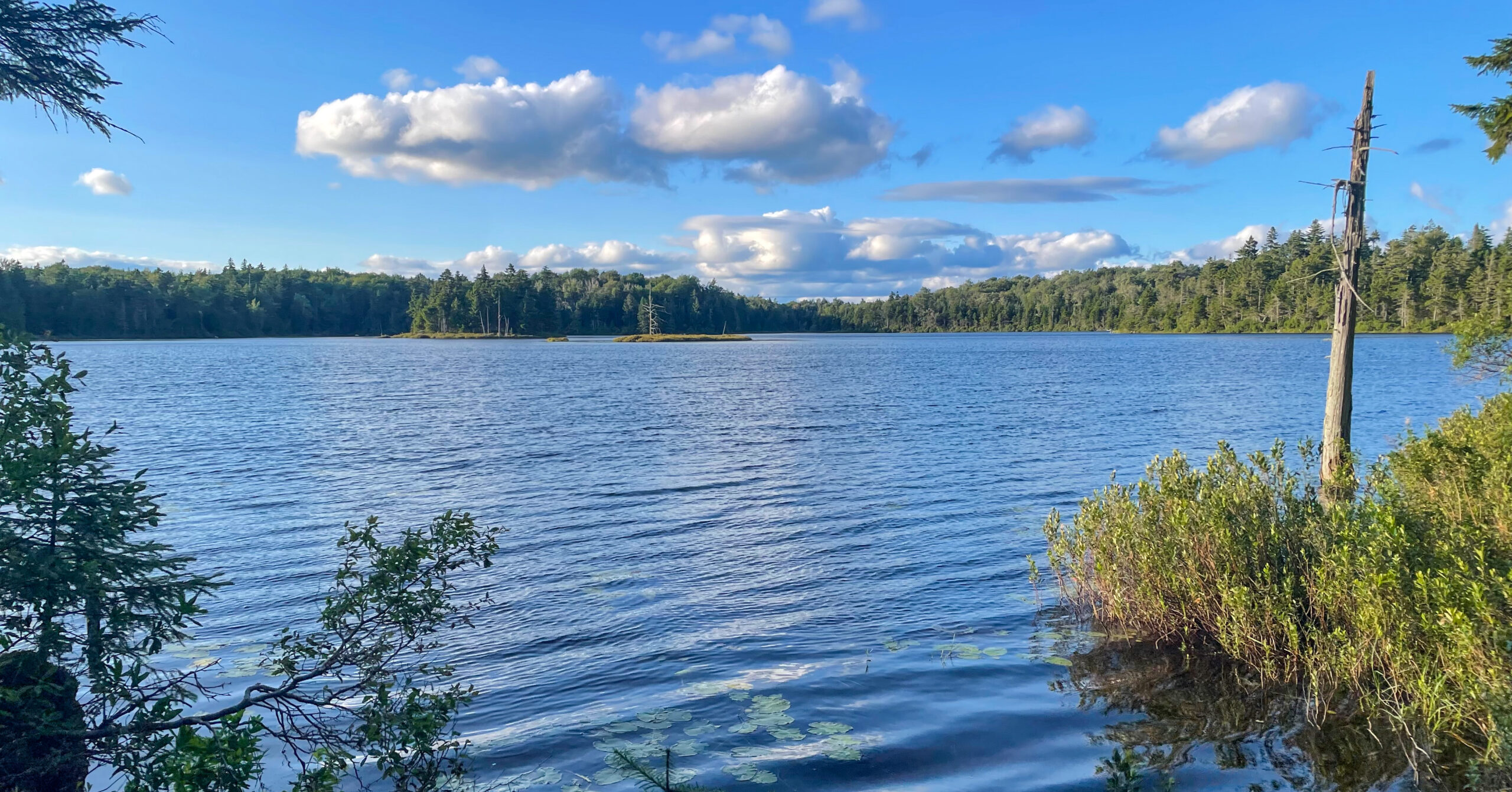
We used an established site at the South Bourn Pond Tenting Area. The immediate site appeared to fit about two normal tents, had easy pond access, and had a privy nearby. No one camped immediately beside us, so the evening felt private and much wilder than the mileage suggested.
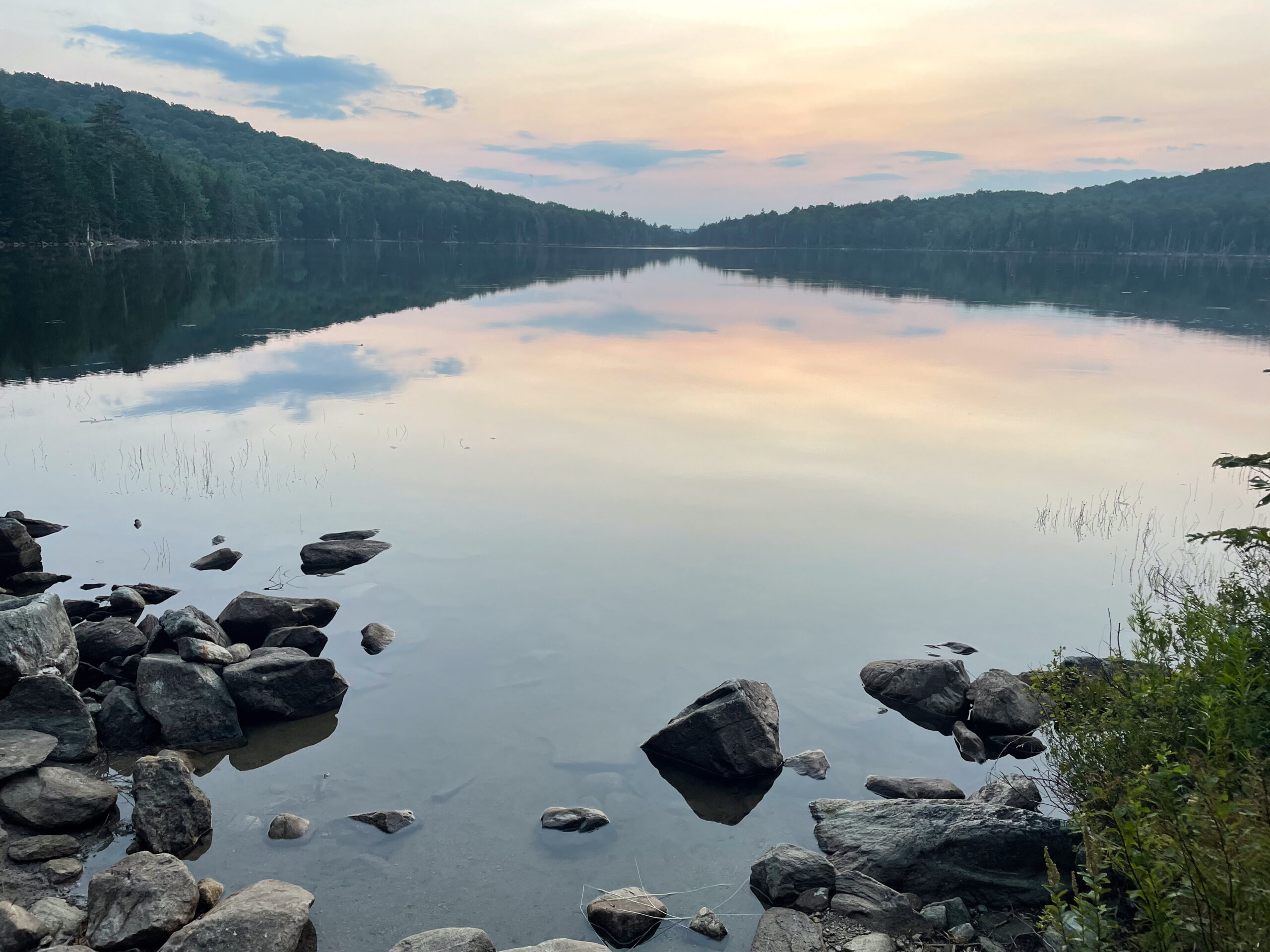
There were good places to sit beside the pond for sunset, and we heard loons after dark. Small animals moving through the forest sounded much larger from inside the tent, a memorable detail on my first backpacking trip in several years. We did not swim at Bourn Pond.
Camp expectations: Our solitude was trip-specific. Use established sites, follow posted instructions, and do not count on having Bourn Pond to yourself.
Day 2: Bourn Pond to Stratton Pond, Stratton Mountain, and North Peak
10.0 mi, +2,240 ft / -2,140 ft
Route to Stratton Pond
- Continue from Bourn Pond on Lye Brook Trail toward Stratton Pond.
- Cross the most substantial stream of the trip, with difficulty dependent on water level.
- Follow current signs through the rerouted trail network near Stratton Pond.
- Reach Stratton Pond Shelter and the designated tenting area, then claim an available legal campsite or platform.
- Leave full backpacks at camp and carry daypacks for the optional Stratton Mountain side trip.
We woke around sunrise because this was the longest day, but the mileage did not require rushing. The main stream crossing was an easy rock hop with shoes on after a dry stretch of weather. It could be much more difficult after rain. Trekking poles would have added stability, though we did not need them in the conditions we encountered.
The trail network near Stratton Pond deserves attention. The Green Mountain Club rerouted sections away from the fragile shoreline and continued redesign work through 2023. Follow current signs rather than forcing an old digital track. The current Lye Brook Trail meets Stratton Pond Trail about a quarter mile south of Stratton Pond Shelter.
Stratton Mountain
After setting up camp, we climbed Stratton Mountain on the shared Appalachian Trail and Long Trail. This was the trip’s most strenuous segment, but it was still nontechnical. The trail gained elevation through switchbacks without scrambling. Carrying light daypacks instead of our overnight loads made the climb much more comfortable.
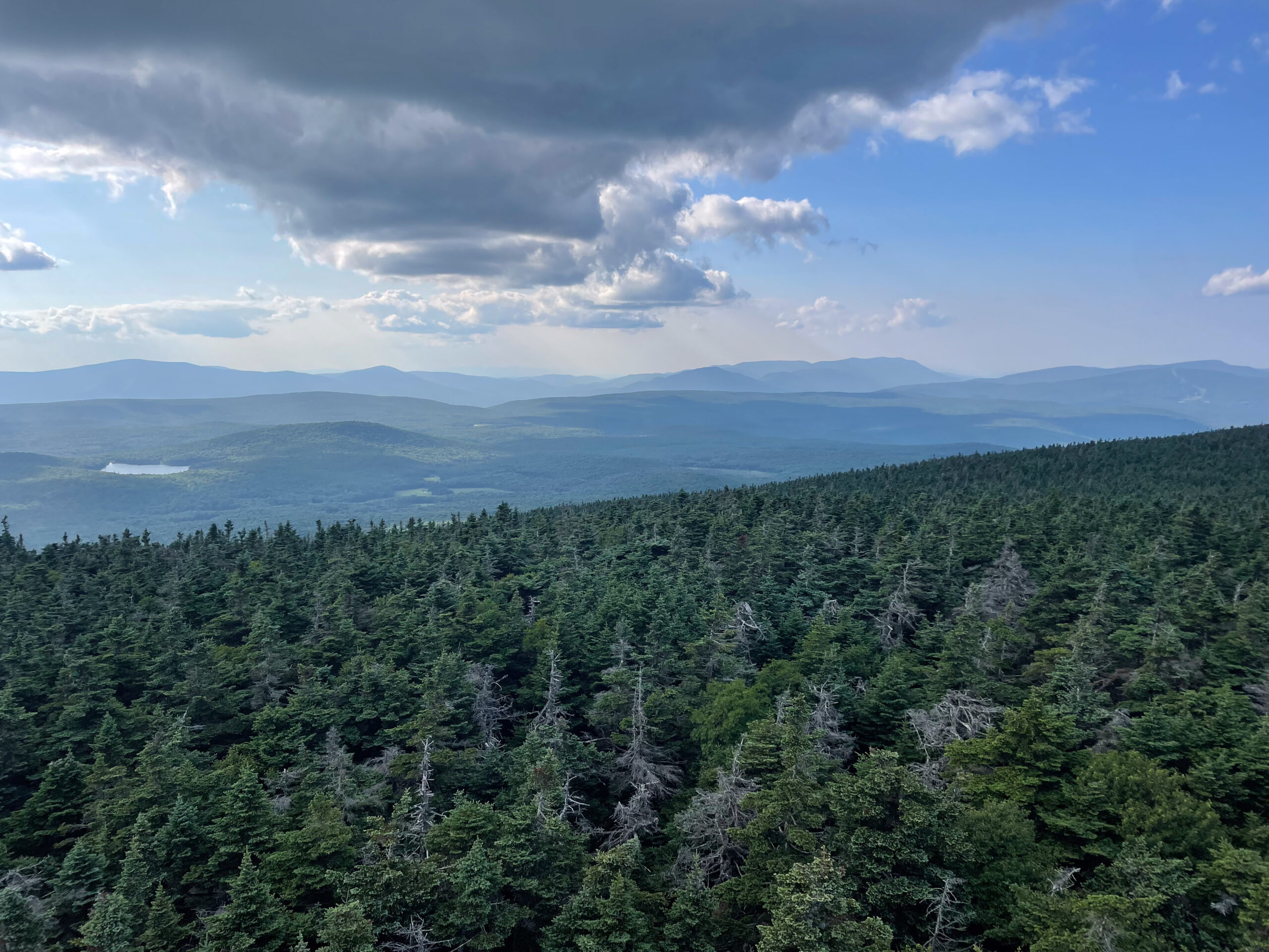
The fire tower felt somewhat rickety to me, but the clear blue sky gave us excellent views in every direction. The summit was noticeably busier than the wilderness sections around Bourn Pond. Check current tower and trail notices before relying on access.
North Peak Extension
A through-hiker suggested that we continue along the ridge to Stratton Mountain North Peak. The extension was relatively easy once we were already on the ridge and is included in the Day 2 mileage and elevation totals. North Peak had ski lifts, ski-area signs, and a bear statue. As someone who enjoys skiing, I liked seeing the top of a ski mountain without snow.
I would include North Peak again, but it is optional. Hikers can omit North Peak or the entire Stratton Mountain climb if energy, weather, daylight, or trail conditions make that the better decision.
Return and Camping
We retraced the route to Stratton Pond, took the short pond-access spur, rinsed off, and collected water. We had arrived early enough to secure a tent platform. The platforms filled by evening, other hikers used the shelter, and the campground felt much more social and less private than Bourn Pond.
A caretaker was present during our July 2024 trip and confirmed that no fee was being collected. Current Green Mountain Club guidance says Long Trail overnight sites operate without a required camping fee and that caretaker sites use a donation-based model, but procedures can change. Carry your own shelter because neither a platform nor shelter space is guaranteed.
Protect the shoreline: Camping on the Stratton Pond shore is not permitted. Use the designated overnight area and follow caretaker or posted overflow instructions if normal sites are full.
Day 3: Stratton Pond to Prospect Rock Trailhead
7.2 mi, +330 ft / -1,900 ft
Route
- Leave Stratton Pond on the Appalachian Trail and Long Trail.
- Follow the shared trail toward the Branch Pond Trail junction used on Day 1.
- Continue past the Branch Pond Trail junction toward Prospect Rock.
- Pass the Prospect Rock area and descend Prospect Rock Trail.
- Finish at the same trailhead used on Day 1.
Day 3 was mostly downhill with one modest uphill section. The AT/LT was well maintained during our trip, and the route back to the Day 1 junction was straightforward. The return then continued past the Prospect Rock area before the final descent to the car.
This was not the most visually dramatic day. Much of it stayed in the woods, and the scenery could feel repetitive compared with Bourn Pond or the fire tower. It was still peaceful and made for an uncomplicated final morning.
Campsites and Water
The two camps have very different atmospheres, while frequent water made our late July itinerary forgiving.
Bourn Pond
Bourn Pond supplied the trip’s strongest sense of privacy and wilderness.
Our established site at the South Bourn Pond Tenting Area had a nearby privy and easy pond access. The immediate area appeared to fit roughly two tents. We had no close neighbors, watched sunset beside the pond, and heard loons at night. Those were our conditions, not a guarantee of solitude or space.
Stratton Pond
Stratton Pond is a formal, high-use overnight area where shelter and platform space can fill.
We camped on a platform, with a caretaker present and easy access to the pond. The platforms eventually filled, and the shelter was also occupied. The camp was pleasant but communal, so arrive prepared to share the area and carry a tent even if you hope to sleep in the shelter.
Water Planning
Streams and ponds were frequent in late July 2024, but hikers still need enough capacity for changing conditions.
We carried water bladders and Nalgene bottles and treated water with Sawyer Squeeze filters. Sources included small streams, Bourn Pond, and Stratton Pond. Because water was frequent, we did not need to carry unusually large quantities.
Flow varies with season and recent weather, and a source can be contaminated even when it looks clear. Do not assume that every stream or the possible spring near Bourn Pond will be flowing. Check recent reports, treat all backcountry water, and carry enough capacity to reach the next reliable source if a creek is dry.
Food Storage and Campsite Rules
Use established camps, protect fragile pond shorelines, and keep every scented item secured from wildlife.
My friend and I used bear canisters for all food, toiletries, and scented items. The Green Mountain Club currently lists bear boxes at both Stratton Pond Shelter and Stratton View Shelter and says they can be used as an alternative to a canister or proper food hang. Boxes can fill, so carry a backup storage method and secure food, garbage, cookware, and toiletries whenever they are unattended.
The Lye Brook Wilderness is managed by the U.S. Forest Service. Travel in designated wilderness is foot travel, and visitors should expect more primitive conditions than on the maintained AT/LT corridor. Use existing campsites, pack out all trash, avoid damaging vegetation, and check current Forest Service orders for camping, fire, group-size, and seasonal restrictions.
Current planning check: Review the Green Mountain Club bear-box list, overnight-site guidance, and current Green Mountain National Forest alerts before departure. Do not camp on Stratton Mountain’s summit or outside designated areas around Stratton Pond.
Navigation Notes
The loop was well marked overall, but three junction areas deserved deliberate attention.
Download an offline map before the drive because cell service disappeared before we reached the trailhead. The Prospect Rock overlook spur was easy to miss, and the Branch Pond Trail junction was worth noting because we used it again on Day 3.
The Branch Pond and Lye Brook-area trails were rougher and quieter than the AT/LT, with some vegetation growing into the corridor, but they remained well blazed and manageable in July 2024. Wilderness trail maintenance can be intentionally limited, so do not assume every blaze or sign remains exactly as we found it.
Near Stratton Pond, follow posted signs through the current reroutes. The Green Mountain Club moved trail segments away from the fragile shoreline, and the eastern end of Lye Brook Trail now meets Stratton Pond Trail south of the shelter. A stale track should never override a signed restoration closure.
Trail Conditions and Crossings
There was no scrambling, but normal New England footing and weather-dependent crossings still require attention.
The Appalachian Trail and Long Trail sections were generally well maintained. Branch Pond Trail and the Lye Brook-area trails felt rougher, with grass or other vegetation extending into parts of the corridor. Roots, wet ground, bogs, and puncheon can slow hikers even when the route is nontechnical.
The most substantial stream crossing came on Day 2. Dry conditions made it a simple rock hop with shoes on, but high water after rain could make it difficult or unsafe. Trekking poles would help with balance. Turn around or use a safe alternate plan rather than committing to a crossing you cannot assess confidently.
We also encountered a damaged or missing bridge on the early AT/LT section on Day 1. The stream was easy to cross during our trip only. I did not find a current official notice confirming that bridge’s status, so check current trail reports and expect the possibility of an unbridged crossing.
Seasonal Considerations
Summer offered manageable water and bugs for us, while spring mud, fall hunting, and wet-weather crossings require different preparation.
We had no rain, sunny skies with occasional clouds, clear summit visibility, and excellent stars on both nights. Mosquitoes were noticeable but not severe. We did not have a tick problem, though long grass on quieter trails can increase exposure, so use normal tick precautions and check yourself regularly.
Rain can raise the stream crossings and turn already boggy terrain into slower, muddier travel. Green Mountain Club asks hikers to avoid saturated trails during Vermont’s spring mud season, generally from snowmelt through around Memorial Day, and to check current conditions rather than rely on a fixed calendar date.
Fall can bring foliage, colder nights, shorter daylight, mud, ice, and hunting activity. Wear visible colors during hunting seasons and verify current dates. Snow, ice, caretaker coverage, seasonal road access, fire restrictions, and water availability all require a current check.
Is This Worth Backpacking?
Yes, especially for a first backpacking trip, a gear shakedown, or a relaxed weekend that still feels wild.
This route offered more scenery and wilderness character than I expected. Bourn Pond and the quiet non-AT sections were the highlights. Stratton Pond was beautiful but busier, and Stratton Mountain added both the best views and the trip’s most meaningful physical challenge. North Peak was an easy, worthwhile extension.
The route is beginner-friendly because the full-pack mileage is moderate, water was frequent during our trip, there is no scrambling, and the summit can be shortened or omitted. Those advantages do not remove the need to manage an overnight pack, navigate without cell service, handle roots and mud, assess water crossings, and arrive with a legal camping and food-storage plan.
Some wooded stretches were less interesting, and this trip does not compare with major alpine routes for dramatic scenery. Hikers who want a bigger Northeast challenge could look at my three-day Pemi Loop guide. For another approachable three-day loop with a very different landscape, see the Dolly Sods Wilderness loop. The Cranberry Wilderness loop offers more solitude and more consequential creek crossings.
For the right person, the strengths here are peace, ponds, flexibility, and approachability. Experienced backpackers can still enjoy it if they arrive expecting a calm forest route rather than constant panoramic views.
What I Would Do Differently
I would keep the same three-day structure and make only small planning adjustments.
I would change almost nothing about the itinerary. Camping first at Bourn Pond preserved the quieter, wilder night, and reaching Stratton Pond before climbing the mountain let us leave our full packs at camp. I would include North Peak again because the extension added variety for little extra effort.
I would bring trekking poles for wet bog boards and higher-water crossings, download driving directions as well as the route map before losing service, and keep an alternate Day 2 plan ready in case weather or energy made Stratton Mountain a poor choice. I would also arrive at Stratton Pond early enough to improve the odds of finding legal tent space while still carrying a shelter and backup plan.
Photo Highlights
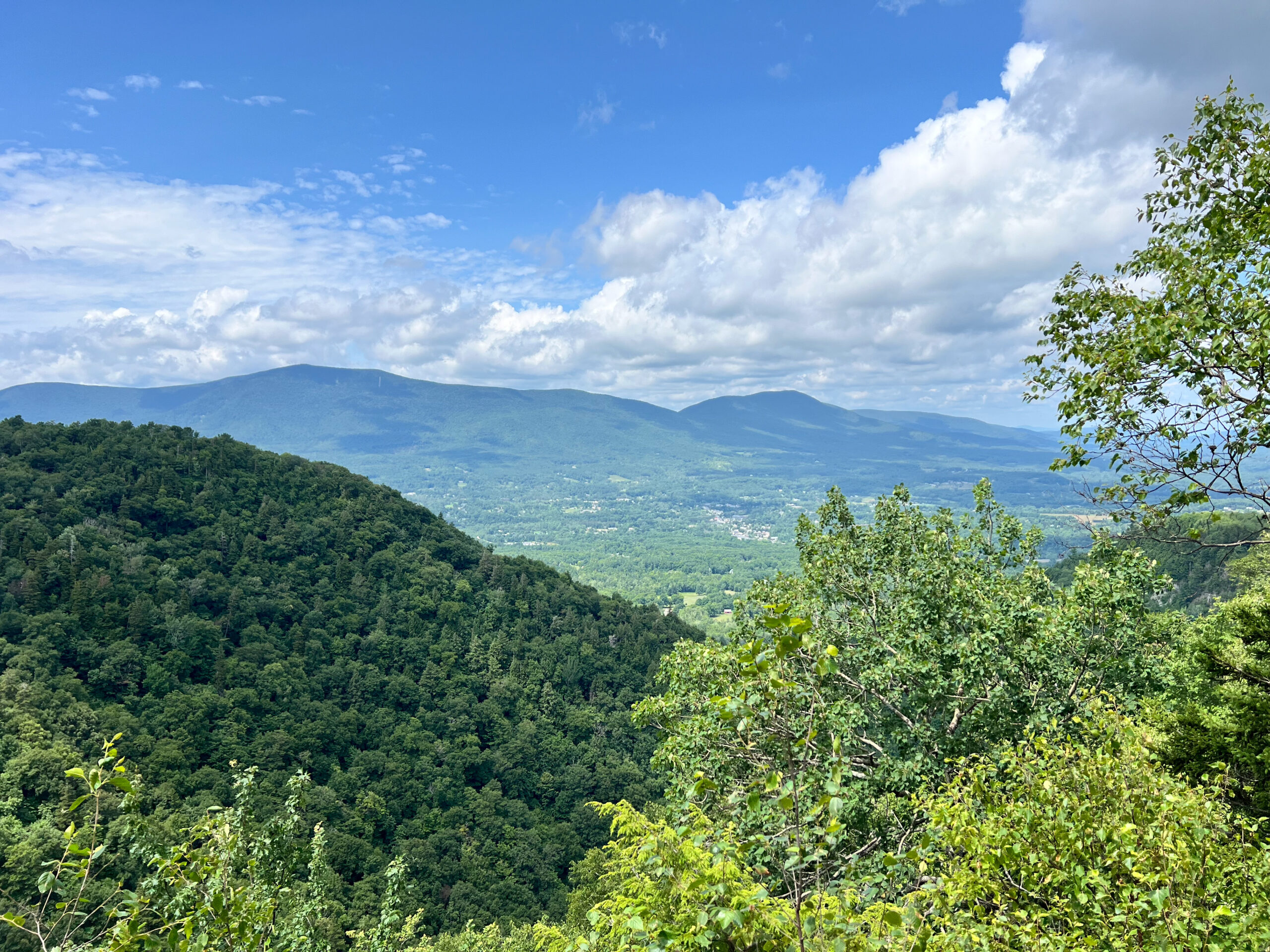
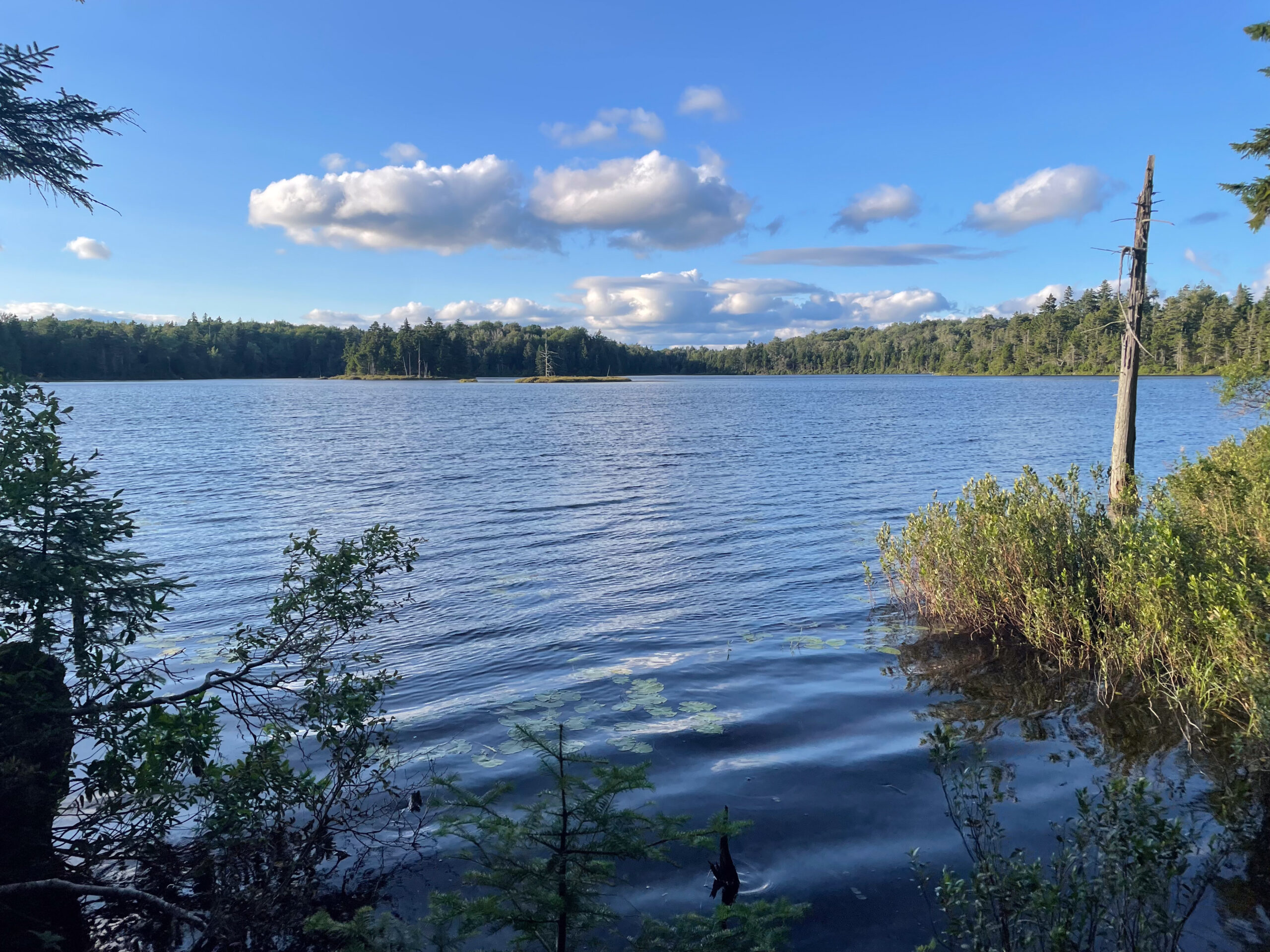
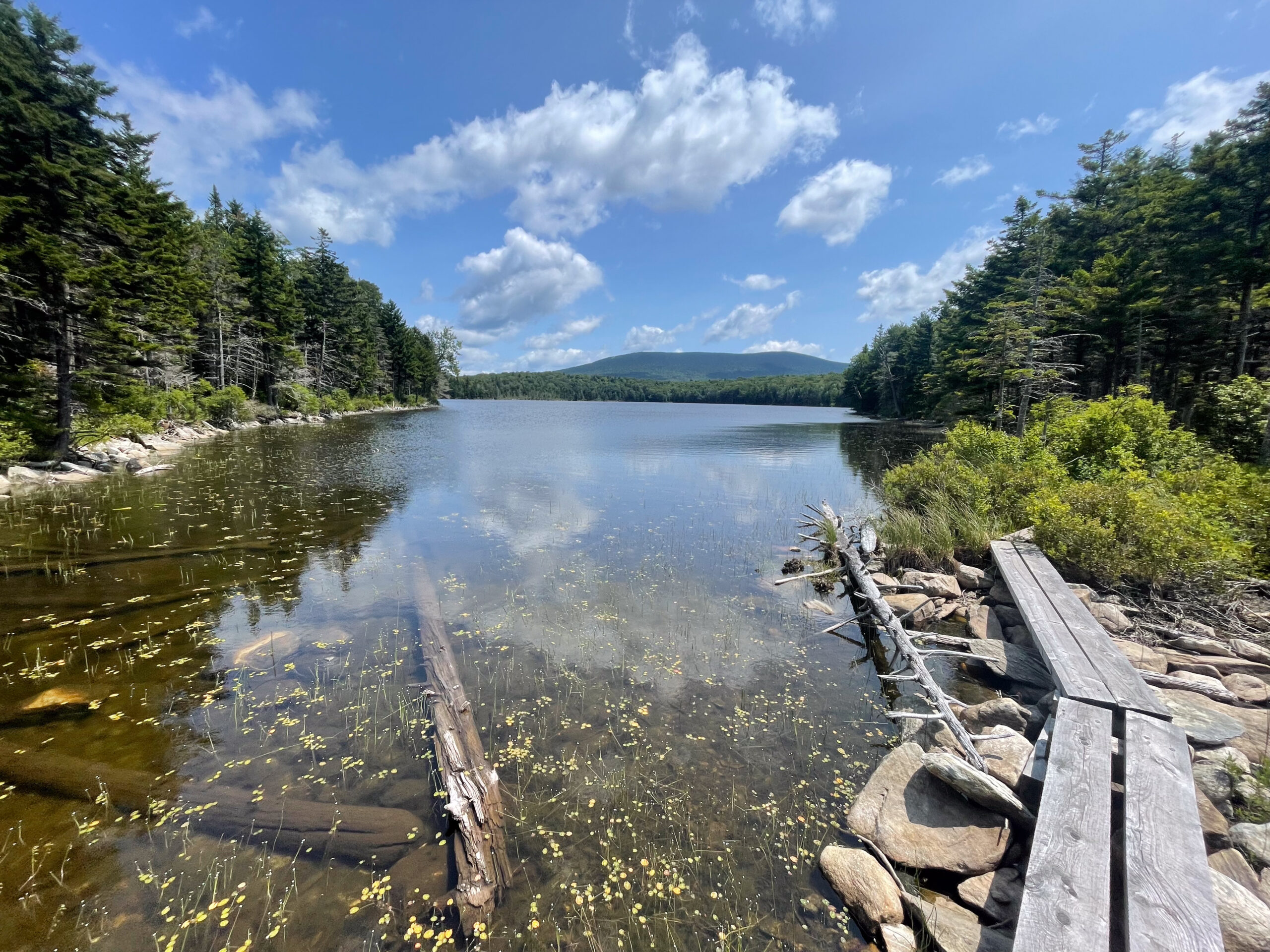
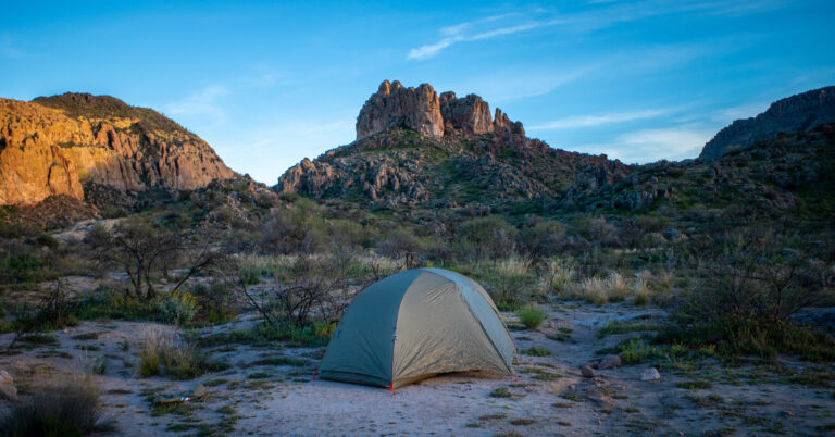
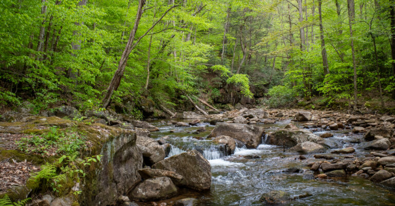
Five frames from the loop, including Prospect Rock, Bourn Pond, the bog boards at Stratton Pond, the Stratton Mountain fire tower, and sunset beside the pond.