3-Day Cranberry Wilderness Backpacking Loop from WV 150
Trip Snapshot
| Wilderness Area | Cranberry Wilderness |
|---|---|
| National Forest | Monongahela National Forest |
| State | West Virginia |
| Route Type | Loop, hiked clockwise |
| Start / Finish | North South – East Trailhead on WV 150 |
| Distance | 18.5 mi |
| Days / Nights | 3 days / 2 nights |
| Elevation Gain | ~2,520 ft |
| Difficulty | Moderate; manageable mileage with faint trail, blowdowns, and condition-dependent creek crossings |
| Trip Date | Early May 2025 |
| Terrain | Deep forest, wooded ridges, old logging grades, river valley, overgrowth, and unbridged crossings |
| Camping | Dispersed camping at established backcountry sites |
| Water | Dry first half; frequent creek and river access after descending Laurelly Branch |
| Permit / Fee | No permit, reservation, or parking fee was required during this trip; voluntary trailhead registration is encouraged |
| Best Season | Spring through fall for most hikers, subject to WV 150 access, rainfall, creek height, and current alerts |
| Solo Safety | Best for hikers comfortable with offline navigation, long solitude, and turning around at unsafe water |
Scope of this guide: Two of us hiked this route in early May 2025. Trail, water, crossings, roads, camping rules, and fire restrictions can change. Before leaving, check the Monongahela National Forest alerts, the official Cranberry Wilderness map, and the Forest Service area page. Campsite, water, pollen, and crossing descriptions below are dated observations, not guarantees.
Overview
Cranberry Wilderness is not a route for sweeping overlooks. Its appeal is immersion: deep forest, rough trails, creek crossings, spring plant life, and the kind of solitude where you can hike for almost three days without seeing another person.
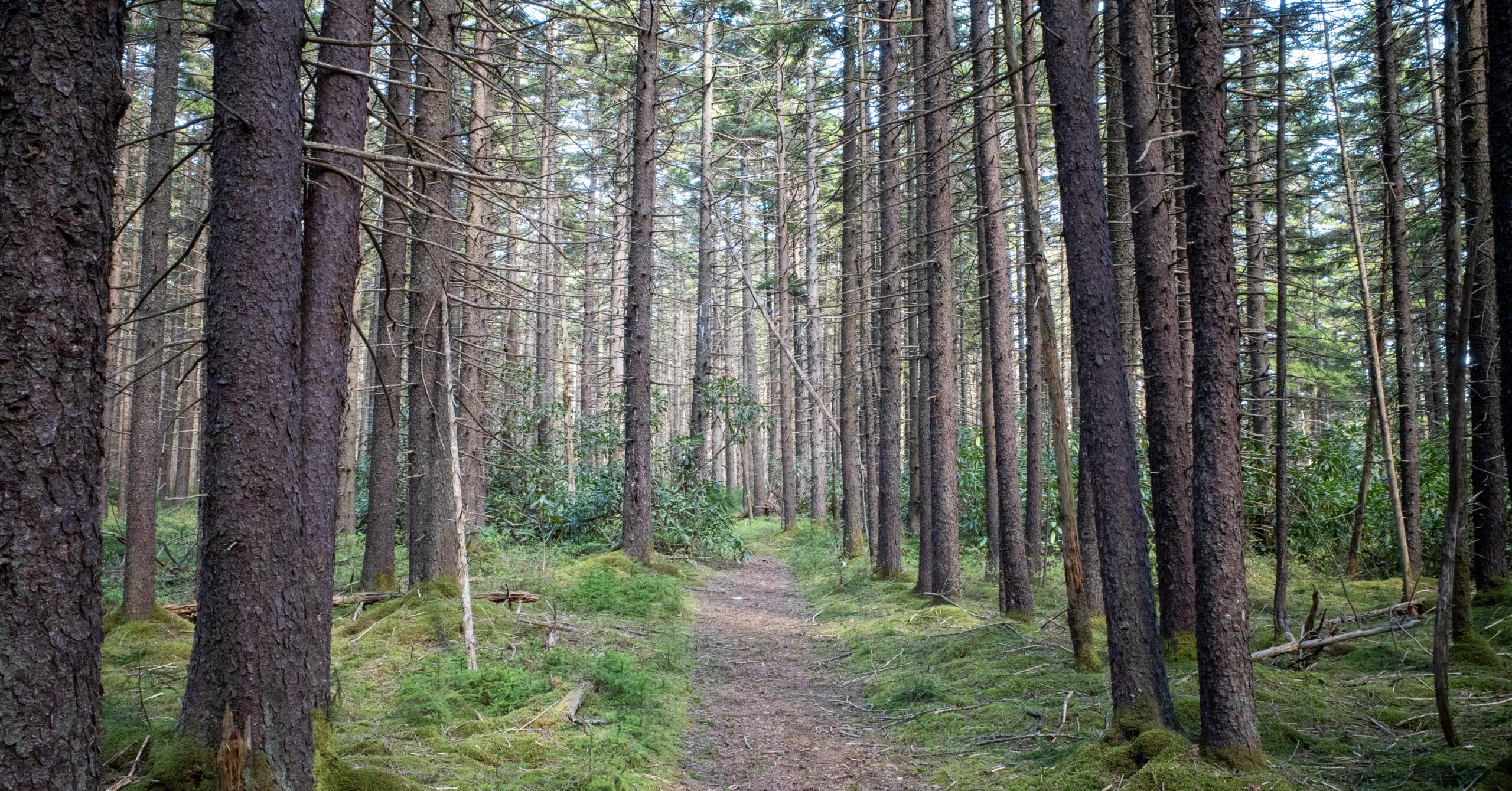
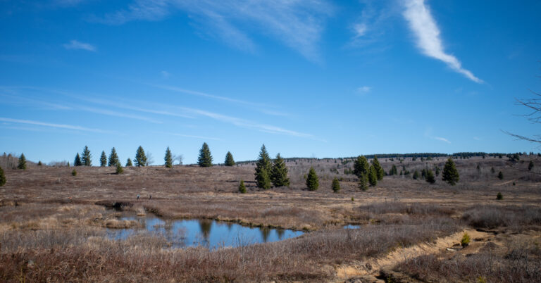
This loop felt much quieter and less maintained than Dolly Sods. Nearly the entire route stayed under tree cover, the two mapped high points were broad and wooded, and there were very few major views. On a weekend, we saw only one other pair of hikers near the end of the trip.
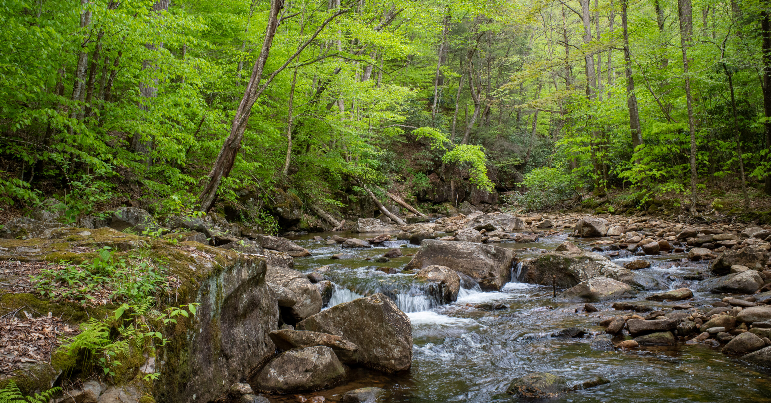
The clockwise split also changed character sharply. Day 1 stayed high, dry, and relatively gentle. Day 2 descended through Laurelly Branch to the Middle Fork of the Williams River, where waterfalls, pools, purple, yellow, and white wildflowers, unusual fungi, frequent water, and three significant crossings made the forest feel much more varied. That river corridor was the strongest part of the loop.
None of the terrain required climbing, scrambling, or exposure, but the trip still demanded attention. Faint tread near a mapped 4,083-foot high point, unclear turns on old grades, blowdowns, overgrowth, and unbridged water can make an 18.5-mile loop slower and more consequential than its profile suggests. It is best for backpackers who value solitude, water, forest, and self-reliance more than summit scenery.
Route Map
The CalTopo map preserves the completed clockwise route, three daily tracks, two camps, water observations, and three significant crossings from this trip. Compare it with the Forest Service map before hiking.
GPX note: The route, camps, water, and crossing waypoints record planning data and observations from May 2025. They are not a current report on access, water levels, crossing safety, campsites, or trail conditions.
Quick Itinerary
| Day | Route | Details |
|---|---|---|
| Day 1 | North South – East Trailhead → North-South Trail → Cranberry Peak camp | Distance: 4.5 miGain/Loss: +420 ft / -560 ftWater: Treat the full day and camp as dryCamp: Established wooded site near the mapped 4,356-foot Cranberry Peak |
| Day 2 | Cranberry Peak → Laurelly Branch Trail → Middle Fork Trail → riverside camp | Distance: 9.2 miGain/Loss: +930 ft / -1,940 ftWater: Frequent after the Laurelly Branch descent; three major crossingsCamp: Established site slightly above the Middle Fork after the third crossing |
| Day 3 | Middle Fork Trail → North Fork Trail → North-South Trail → trailhead | Distance: 4.9 miGain/Loss: +1,180 ft / -20 ftWater: Fill at camp; no later source was recordedFinish: North South – East Trailhead on WV 150 |
Trailhead & Access
| Start / End | North South – East Trailhead on WV 150 / Highland Scenic Highway |
|---|---|
| Forest District | Gauley Ranger District, Monongahela National Forest |
| Route Type | Clockwise loop |
| Parking | Small paved-highway pull-off with space for only a handful of vehicles during this trip; no fee was charged |
| Facilities | No potable water; restroom information is not listed for the wilderness trailheads |
| Access Note | WV 150 is paved but not snowplowed in winter and closes to vehicles; verify current access and alerts |
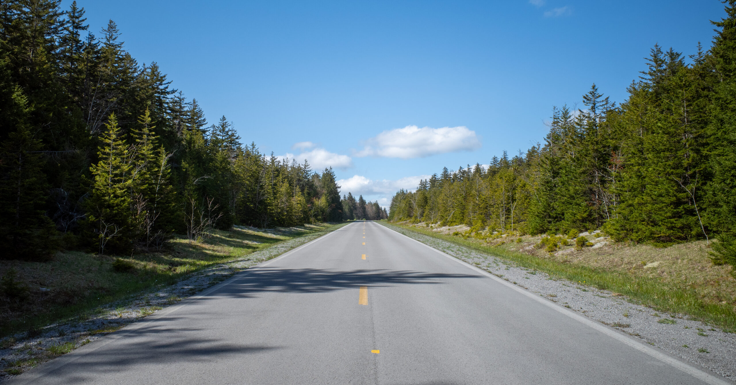
Early-May 2025 access: No rough forest road was required, only one other vehicle was present, and the North-South Trail began across the highway near an information board. We did not rely on cellular service, a toilet, trash disposal, or any other trailhead amenity. Download driving directions and maps before reaching the area, and do not assume roadside overflow parking is legal or safe.
Registration and permits: The Forest Service currently encourages visitors to complete the voluntary registration form at a trailhead or the Nature Center, but registration is not mandatory. No backcountry permit, reservation, or parking fee was required during my early-May 2025 trip. Verify the current Cranberry Wilderness guidance before visiting.
Nature Center: The nearby Cranberry Mountain Nature Center, at the junction of WV 150 and WV 39/55, currently lists seasonal operations from April 16 through mid-October and restrooms only while open. Hours can change; verify them rather than relying on the center before a hike.
Route Guide
The clockwise loop combines a short dry ridge day, a longer descent into the Middle Fork corridor, and a predominantly uphill return to WV 150.
Day 1: North South – East Trailhead to Cranberry Peak
4.5 mi, +420 ft / -560 ft
Route
- Park at the small WV 150 pull-off and cross the highway to the information board.
- Follow North-South Trail (TR 688) west into Cranberry Wilderness.
- Descend initially, then move through gradual rolling terrain toward the mapped 4,356-foot Cranberry Peak.
- Stop at the established wooded summit-area site after 4.5 miles.
We started close to noon, so the short first day was intentional. The trail was initially well defined, the grades were moderate, and there was no dramatic summit finish. Cranberry Peak is a broad wooded high point rather than an overlook.
Pollen and Water
Broad-leaf plants crowded portions of the opening trail. Brushing against them released visible clouds of pollen, especially on Day 1. Neither of us had a major reaction, but pollen-sensitive hikers should check seasonal conditions and carry whatever allergy medication they normally use.
No reliable water appeared near camp. Carry enough from the trailhead for the full hike, dinner, breakfast, the opening of Day 2, and possible navigation delays. Water becomes much more frequent after turning down Laurelly Branch.
Camp
The established site near the wooded high point was broad enough for multiple tents and had an old fire ring. It was quiet, remote, and slightly cooler than the lower forest, but it had no major view and was dry during the trip. It worked well for a late-start first night, though it was not my favorite camp on the loop.
Day 2: Cranberry Peak to the Middle Fork of the Williams River
9.2 mi, +930 ft / -1,940 ft
North-South Trail and the 4,083-Foot High Point
Continue west on North-South Trail past a mapped 4,083-foot wooded high point. The terrain offers little obvious prominence, and the tread became faint among rocks, trees, and uneven ground. We drifted downhill, initially thinking we had already passed the high point. The offline GPS map showed our error and helped us regain the ridge. The short bushwhack was tiring, not technically hazardous.
Laurelly Branch Trail
At Laurelly Branch Trail (TR 267), turn right and begin descending toward the river valley. Water becomes more common, but progress can slow. Sections resemble old logging or railroad grades, some turns and switchbacks are easy to miss, and frequent blowdowns suggested limited maintenance or past storm damage. After detouring around a large tree, check that you have returned to the tread.
First Major Crossing
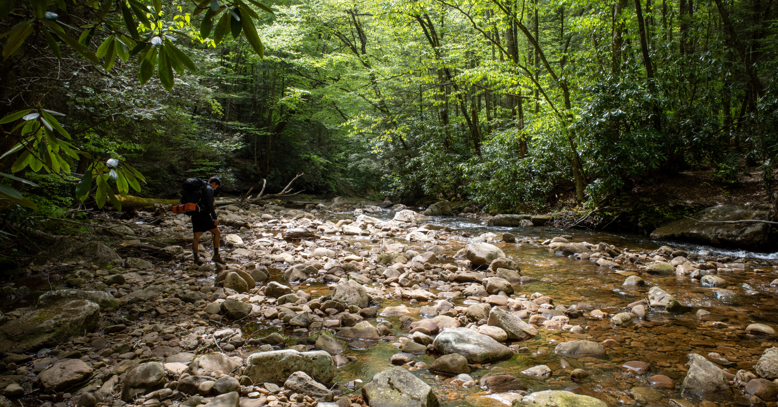
The first significant ford came shortly before Middle Fork Trail. It was approximately shin-deep, with noticeable but manageable current and a rocky bottom. I changed from boots into sandals and used one trekking pole for balance. Cross slowly with a loaded pack and reassess the ford from scratch: after heavy rain, the same channel could be much deeper or stronger. Be willing to turn around.
Middle Fork Trail
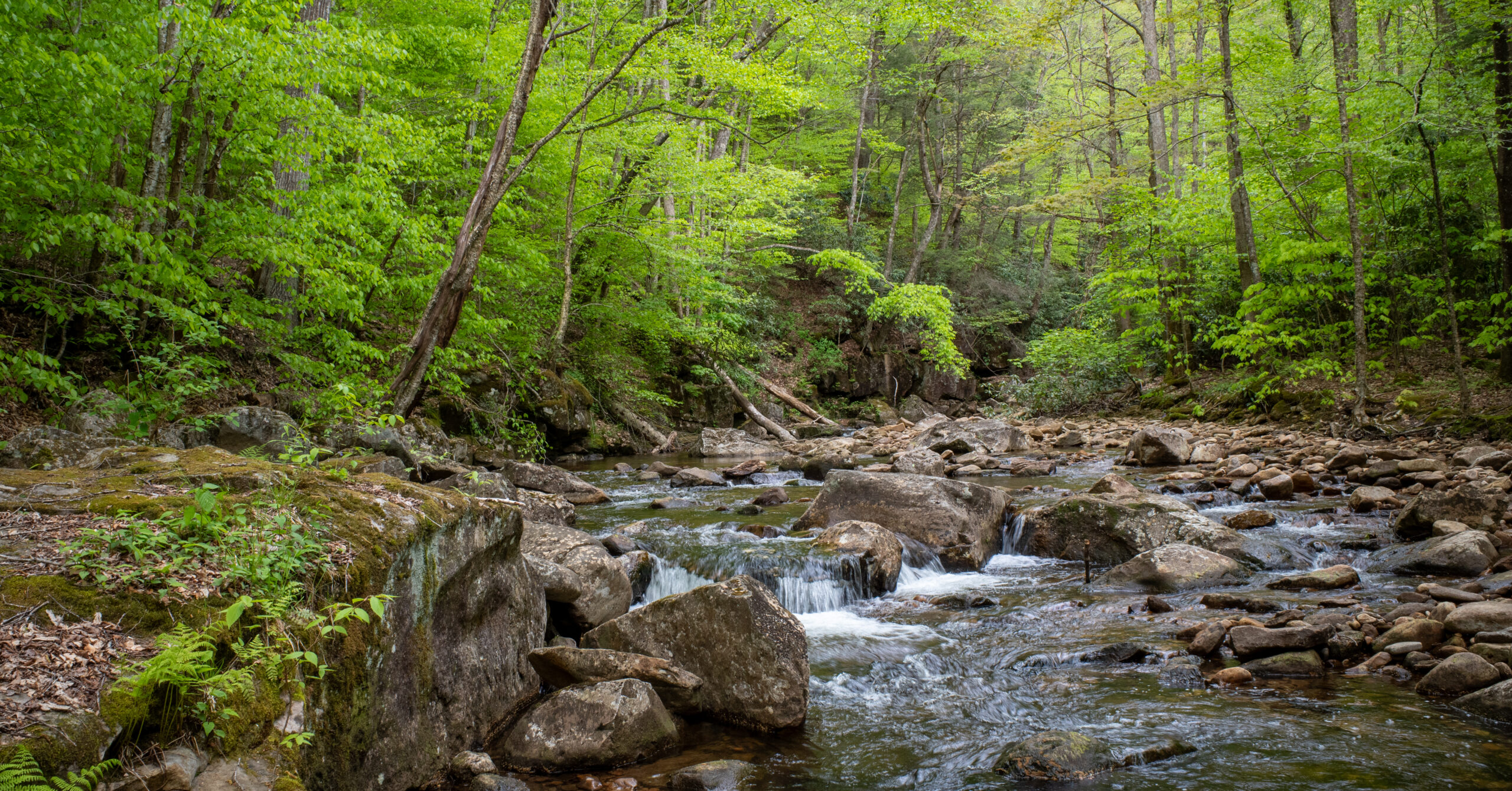
After the ford, turn right onto Middle Fork Trail (TR 271) and follow the Middle Fork of the Williams River through a valley between steep wooded slopes. Navigation became easier once the trail settled into the river corridor. Water was abundant, waterfalls and pools appeared near the trail, and spring wildflowers and unusual fungi supplied the visual interest that the high ridge lacked.
One waterfall was easy to view from the trail. Closer access required stepping near or into the water, so there is no reason to force an approach across wet rocks. Some pools looked appealing for a swim in warm, safe conditions, although we did not enter them. This was the most memorable and rewarding section of the loop.
Two More Crossings and Camp
Two additional significant crossings followed on Middle Fork Trail. All three Day 2 fords were around shin depth in the conditions we experienced. Sandals and a trekking pole were sufficient, and none felt unsafe, but depth and force can change materially after rain. Evaluate each crossing individually rather than letting the itinerary make the decision.
After the third crossing, we chose the best of several established sites passed along the river. It sat slightly above the water beside the trail, held one tent comfortably and probably two with careful placement, and had an old fire ring. The river remained audible overnight, water access was easy, and the site was much more enjoyable than the dry first camp. No other group was within view that evening.
Day 3: Middle Fork Camp to North South – East Trailhead
4.9 mi, +1,180 ft / -20 ft
Route
- Continue east on Middle Fork Trail from the riverside camp.
- Turn right onto North Fork Trail (TR 272).
- Follow North Fork uphill, then rejoin North-South Trail near WV 150.
- Turn toward the highway, cross the road, and return to the parking pull-off.
The final day was short and predominantly uphill, but the climbing remained manageable and there were no additional major creek crossings. Forest, overgrowth, and occasional blowdowns continued to the highway. The relaxed three-day split meant neither of us finished exhausted, and the parking area was obvious from the approach.
Near the end of the trip, we saw the only other pair of hikers encountered during the entire loop. That level of quiet should not be assumed on every weekend, but it defined this one.
Campsites and Water
Established sites were common, but the clockwise route divides cleanly into a dry ridge half and a water-rich river half.
Obvious established sites appeared along much of North-South and Middle Fork trails, and most we observed had old fire rings. Laurelly Branch offered fewer obvious options during the descent. The number of sites allows flexible daily mileage, especially along Middle Fork, but choose broad campsite zones rather than depending on one clearing and do not create a new site when durable established ground is available.
Clockwise hikers should treat the first campsite as dry and the Middle Fork half of the loop as water-rich. Carry sufficient water from the trailhead for Night 1 and the start of Day 2. Once below Laurelly Branch, access becomes frequent, but rainfall and season affect both availability and ford difficulty. Filter or otherwise treat every backcountry source.
Low-impact camping: Current Forest Service guidance says not to establish camps within 200 feet of roads, streams, or trails. Use durable ground, pack out all waste, and follow the current wilderness restrictions. A separate Forest Order 09-21-12-05 restricts camping to designated sites and limits vehicles at campsites in specified Cranberry and Williams River camping areas. Its public summary does not show the order’s mapped boundaries, so review the current order and alerts for your planned location. An existing fire ring does not prove a site or fire is currently permitted.
Creek Crossings and Direction
Direction matters because clockwise travel reaches the first condition-dependent ford only after committing deep into the loop.
Clockwise worked well in our conditions. It created a short, relaxed Day 1, put the dry camp early, and saved the waterfalls and river travel for the long middle day. The tradeoff is that all three significant crossings occur on Day 2, and the first arrives after more than half the loop is complete. If it is unsafe, the practical response may be a long backtrack along Laurelly Branch and North-South Trail. That is inconvenient, not a reason to force the water.
Counterclockwise travel is an untested planning option. It would reach one or more of the significant crossings earlier, which could help when recent rainfall makes water levels uncertain, but it may produce a less convenient campsite sequence. I did not hike the loop in that direction, so I would not call it universally better.
My recommendation is conditional: clockwise is reasonable when recent rainfall and on-the-ground water look clearly manageable; counterclockwise deserves consideration when they do not. Review recent precipitation, current trip reports, official alerts, and geographically relevant river data, while remembering that a distant gauge cannot guarantee the depth of a specific ford. Build in daylight and turnaround flexibility, and never force a crossing to preserve the schedule.
Navigation Notes
Navigation is a moderate route challenge: this is not off-trail travel, but it is also not a consistently blazed or obvious footpath.
Cellular service was absent or unreliable. We carried a paper map, an offline GPS map, and a Garmin inReach. The Forest Service states that wilderness trails are not blazed, junctions are where signs are generally found, and map locations may differ after trail relocations. Download the route and official map before arriving, and keep a paper map and compass as backup if a phone fails.
The most confusing stretch was North-South Trail near the mapped 4,083-foot high point, where we drifted downhill and used GPS to recover the ridge. Old-grade turns on Laurelly Branch also required attention. Blowdowns and overgrowth can pull hikers away from faint tread, so check the map after detouring around large obstructions. The river-following miles were easier to read.
Basic topographic awareness is more important here than advanced navigation. The loop is a poor fit for anyone unwilling to travel without frequent blazes or signs, and the solitude increases the value of self-reliance and satellite communication.
Seasonal Considerations
Early May brought wildflowers, abundant lower water, comfortable temperatures, and exceptional quiet alongside intense pollen, overgrowth, and variable creek risk.
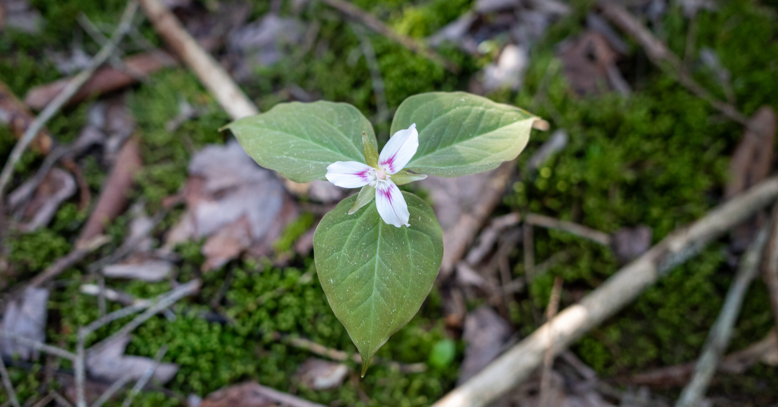
We had no rain, comfortable hiking weather, slightly chilly nights, and enough warmth from a 40-degree sleeping bag in the conditions experienced. Small waterfalls were flowing, spring greenery was returning, and purple, yellow, and white flowers and unusual fungi made the Middle Fork corridor visually rewarding. Some mosquitoes were present but never became a major problem.
Pollen was the unusual issue. Brushing trail-edge vegetation on the opening day released visible clouds, though neither of us experienced a major reaction. Pollen-sensitive hikers may prefer another season or should carry their normal medication. Do not assume our exact weather or pollen tolerance will repeat.
We found no ticks afterward, but broad overgrown vegetation creates exposure. I wore shorts and a sun hoodie; next time I would choose long pants for vegetation, ticks, and blowdowns. Spring rain can also raise the fords quickly, increase mud, and obscure tread. WV 150 is not a dependable winter approach, and the Forest Service notes that freezing temperatures can occur at any time.
Before leaving home: Check the mountain forecast, recent rainfall, Forest Service alerts and fire status, and current WV 150 access. During hunting seasons, the Forest Service encourages high-visibility clothing.
Practical Gear and Wildlife Notes
Navigation backup, water-crossing footwear, long-pants protection, and compliant food storage matter more than technical equipment.
Carry an offline GPS map, paper map, compass, trekking pole or poles, sandals or water shoes, footwear suited to mud and blowdowns, long pants, rain protection, a water filter, and a sleep system chosen for the actual forecast. We carried rain gear but did not use it. One pole and sandals worked for the shin-deep crossings we encountered; stronger water may demand a different decision, including turning around.
We used bear canisters for convenience and had no wildlife or rodent problems. A canister is not the only method allowed under the current order, but unattended food, trash, cooking equipment, toiletries, and other attractants must be secured in a qualifying bear-resistant container, a closed solid-top vehicle, or suspended at least 10 feet above the ground and 4 feet horizontally from supporting and adjacent trees. Check the current food-storage order before the trip.
Old fire rings were present at both camps, but the Forest Service discourages wilderness campfires and recommends lightweight stoves. If fires are allowed for your dates, use only an already impacted place, keep the fire small, and use dead-and-down wood. Current restrictions and fire danger override anything observed in May 2025.
Is This Worth Backpacking?
Yes, especially for backpackers who value solitude, rivers, and a rough wilderness feeling more than overlooks or polished trail.
The loop was worth doing. Solitude was exceptional, Middle Fork Trail was genuinely rewarding, and waterfalls, pools, wildflowers, fungi, and repeated crossings kept the second half engaging. The route felt remote despite beginning beside a paved highway, and I would repeat it.
The limitations are equally important. There are very few major viewpoints, maintenance is inconsistent, and some hikers will find long forest stretches monotonous. Choose Cranberry over Dolly Sods for deeper solitude, rougher trail, more creek travel, and forest immersion. Choose Dolly Sods for stronger overlooks, open plateau, more visual variety, and generally clearer routes. Neither is universally better.
Cranberry Wilderness is best for hikers comfortable with isolation, faint tread, creek judgment, and backtracking when necessary. An experienced beginner could enjoy it with a partner who navigates confidently. It is a poor match for someone who needs developed camps, frequent signs, or panoramic scenery.
What I Would Do Differently
The three-day clockwise trip worked, but an early start and a two-day experiment could avoid carrying extra water into the dry first camp.
- Consider completing the loop in two days with an early Day 1 start, mainly to avoid the dry Cranberry Peak overnight.
- Keep the three-day split for a relaxed first visit, a late arrival, or more time at the waterfalls and pools.
- Consider counterclockwise travel when recent rainfall makes crossing levels uncertain; retain clockwise when they appear clearly manageable.
- If using the three-day itinerary, carry enough water for dinner, breakfast, and the first part of Day 2.
- Pay closer attention near the mapped 4,083-foot high point and check GPS immediately after leaving obvious tread.
- Wear long pants while continuing to carry paper and offline maps, a satellite communicator, trekking pole, and water shoes.
Two days would be an experiment for a repeat trip, not the best plan for everyone. The completed three-day itinerary was successful, and the dry first campsite was inconvenient rather than bad. Creek conditions would still determine my final direction and schedule.
Photo Highlights
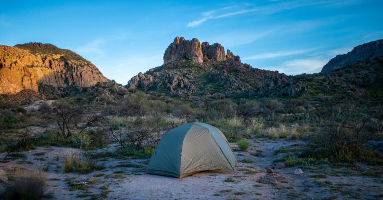
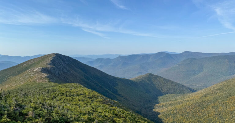
Six frames show the route’s quieter strengths: paved-highway access giving way to mossy forest, spring growth, and the water-rich Middle Fork corridor.