Mount Elbert East Ridge Day Hike
Hike Snapshot
| Location | Sawatch Range near Twin Lakes, Colorado |
|---|---|
| Route | East Ridge, using South Mount Elbert Trail #1481 |
| Route Type | Out and Back from an approximate remembered camping area |
| Trip Type | Day hike |
| Mapped Distance | 14.7 mi from the CalTopo reconstruction; not a recorded GPS distance |
| Mapped Elevation Gain | About 4,600 ft from the CalTopo profile; not recorded activity data |
| Mapped Elevation Range | About 9,800 to 14,400 ft; the Forest Service separately publishes a 14,433-ft summit elevation |
| Summit Elevation | 14,433 ft, the elevation currently published by the U.S. Forest Service |
| Trip Date | Late May 2025, around Memorial Day weekend |
| Start / Summit / Finish | Approximately 4:30 a.m. / 10:30 a.m. / 2:30 to 3:00 p.m. |
| Elapsed Time | Approximately 10 to 10.5 hours from camp, including the road walk shown in the reconstruction |
| Conditions | Extensive soft and rotten snow above tree line, with repeated knee-deep postholing |
| Difficulty on This Trip | Very difficult because of snow, altitude, limited acclimatization, aggressive pacing, and inadequate water and food |
| Navigation | Mostly straightforward lower down; snow obscured the summer trail above tree line |
| Group | Two hikers |
| Water Carried | Approximately 2.5 liters, which was not enough for me |
| Best For | Properly acclimatized hikers prepared for a long high-altitude day and the route-specific conditions they will actually encounter |
Scope of this guide: The route, camping experience, snow, timing, cell service, and physical symptoms describe my late May 2025 hike. Current access and rules were rechecked on August 13, 2026, while the Willow Fire was affecting part of the Leadville Ranger District and Stage 2 fire restrictions were active. South Mount Elbert Trail #1481 was not named in the reduced closure, and the Forest Service Mount Elbert overview displayed Site Open, but the North route and Halfmoon Road were affected. Conditions and orders can change quickly. Check the official South Mount Elbert Trail page, the Pike-San Isabel alerts page, and the current Willow Fire closure before leaving.
Overview
Mount Elbert was my first 14er, one of my most satisfying summits, and a much harder day than it needed to be.
I climbed the East Ridge in late May 2025 while visiting a friend in Colorado. I had already spent about two and a half days around Denver, but those days were busy and did not include much rest or sleep. Being in Colorado for a few days made my acclimatization look better on paper than it really was; I did not feel fully rested or well adjusted to the elevation when I started the hike.
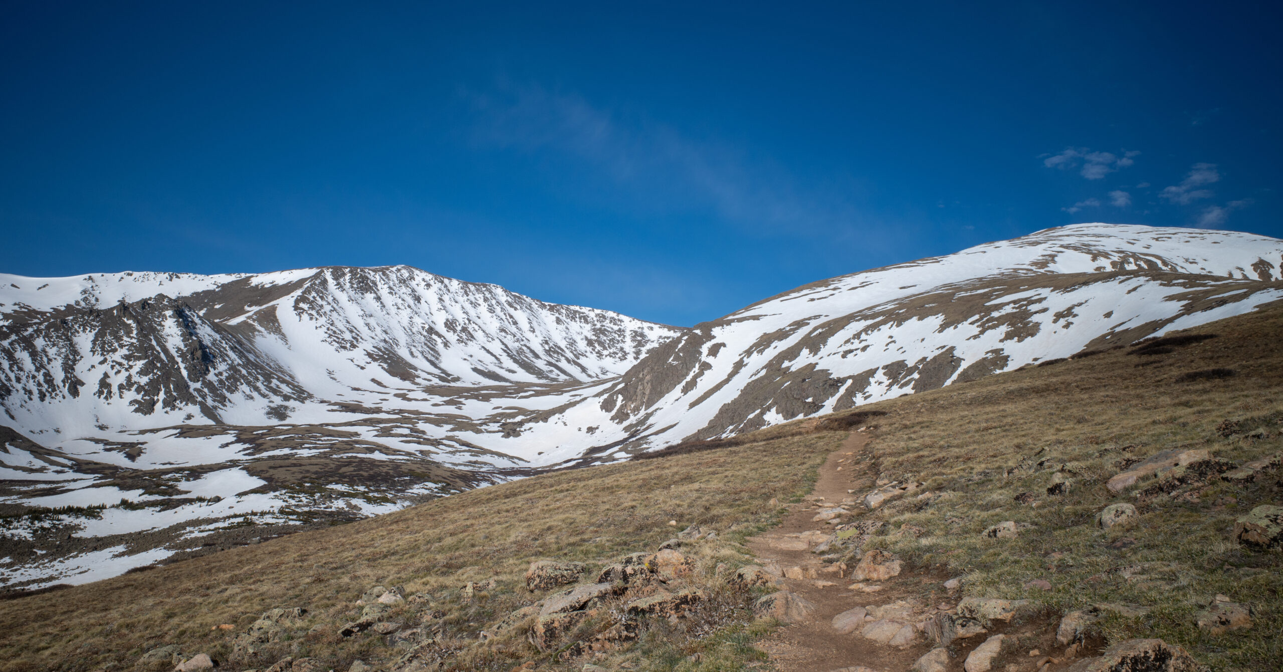
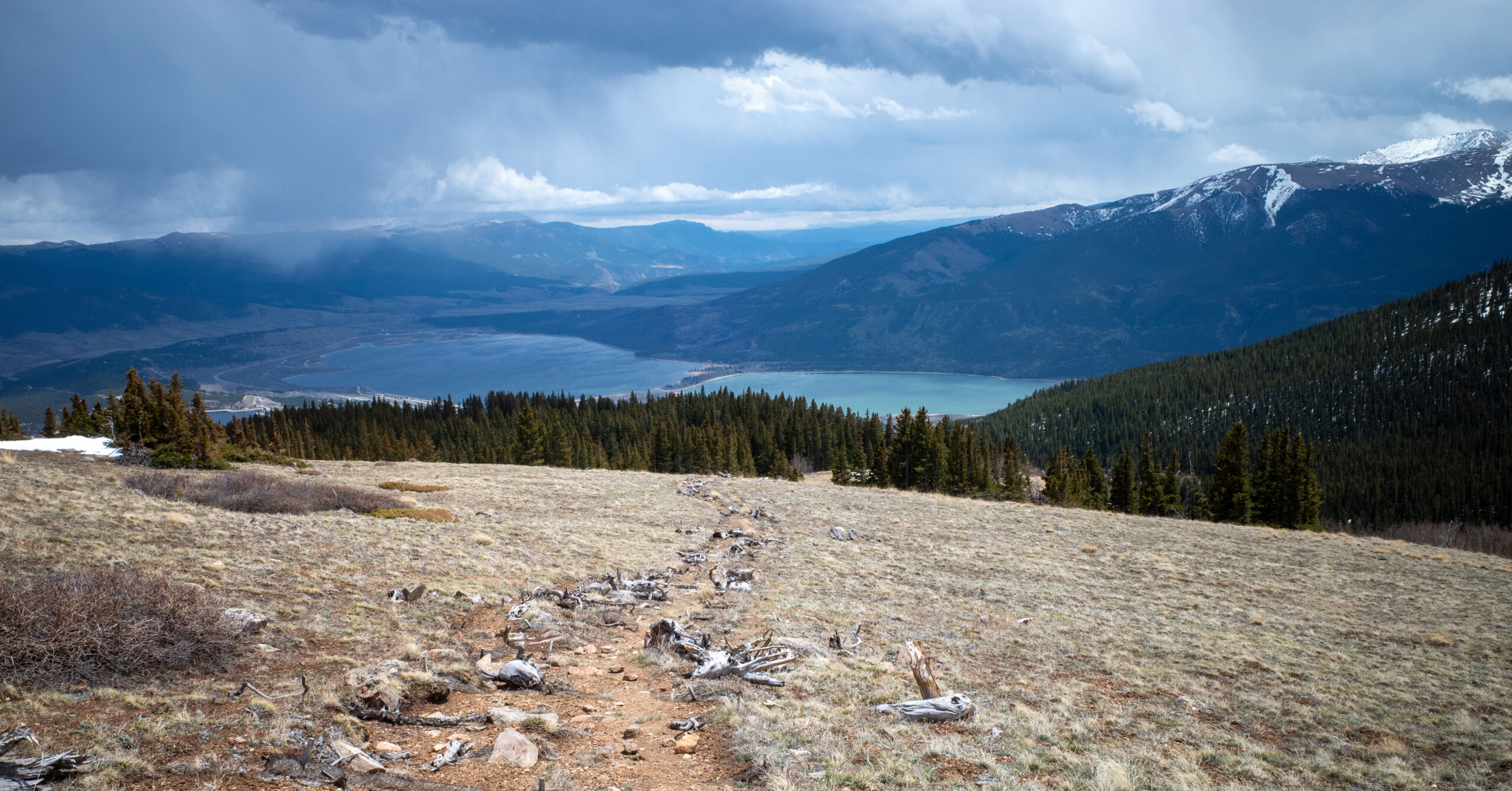
The route was genuinely impressive. Deep snow above tree line gave the ridge a stark, memorable character, and the broad summit view was unlike anything I had seen on an earlier hike. Reaching 14,433 feet after repeatedly wondering whether the next rise was finally the summit felt like a major accomplishment.
The descent was miserable. Headache, nausea, dizziness, lightheadedness, irritability, and extreme fatigue arrived soon after I left the summit. At the same time, I was nearly out of water and had eaten too little. Those problems did not turn the entire hike into a disaster, but they made the second half substantially harder and slower.
I would gladly hike Mount Elbert again. I would not repeat the same preparation, pace, water plan, food plan, or casual approach to late-spring snow. Mount Elbert is often discussed as a possible first 14er, but it is still a major high-altitude day, and season and preparation can transform its difficulty.
Route Map
The CalTopo map shows my reconstructed out-and-back line from the approximate area where I remember camping to Mount Elbert’s summit. It also shows a camping marker in that general area. Neither the marker nor the line’s starting point is an exact GPS coordinate, a recorded activity, or a campsite recommendation.
GPX note: The download contains only the reconstructed route line, not the camping marker. It has no timestamps or elevation samples. The line still begins in the approximate remembered camping area, so treat it as a general route reference rather than a recorded track or a way to locate a particular campsite.
Map and statistics note: Rounded for readability, CalTopo maps this reconstruction at 14.7 mi with about 4,600 ft of gain and 4,600 ft of loss, across an elevation range of roughly 9,800 to 14,400 ft. Those figures describe the drawn line, not a timed GPS activity or the shorter upper-access version.
Camping-marker note: We saw many established-looking roadside camping areas both before and beyond the marker. Many obvious options were occupied when we arrived late on Memorial Day weekend, but additional options continued farther up the road. The road became rougher as we drove farther, so reaching some of those options would likely require AWD or four-wheel drive and adequate ground clearance. Stay within your vehicle’s capabilities and confirm that any site is currently legal, designated where required, open, and compatible with current restrictions before camping.
Quick Route Summary
The mapped reconstruction begins near the approximate camping area, follows the camp-to-trail road approach, and continues through straightforward forest onto an increasingly snowy ridge and a long out-and-back descent.
- Approximate camp area to the hiking trail: We walked uphill on a dirt road before joining the trail at a point that did not feel like an obvious developed trailhead. The road walk added distance but little scenic value and felt like a drag on the return.
- Lower forest: The trail was generally easy to follow beside water in places, with mud, a few small wooden crossings, and limited snow.
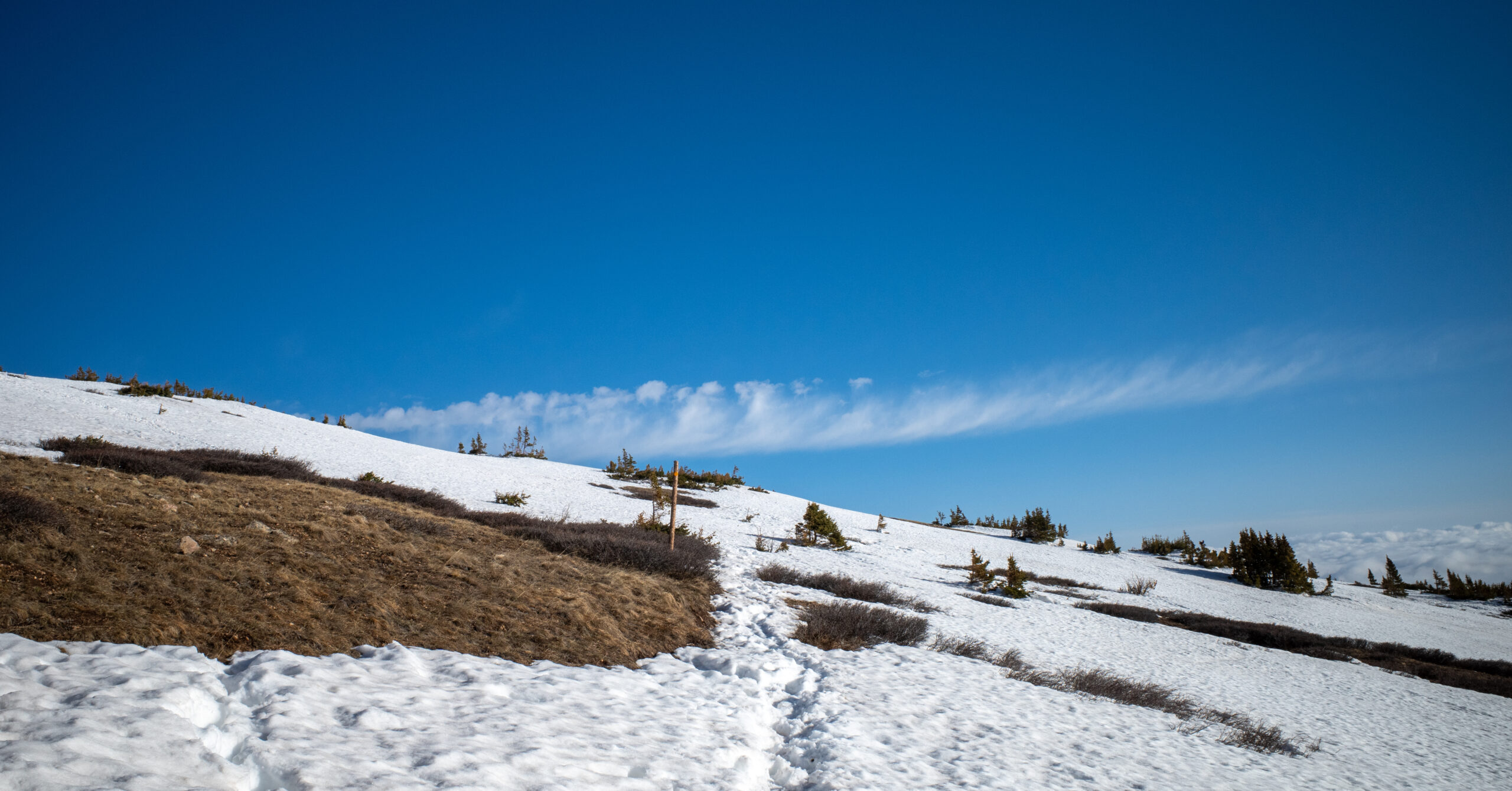
- Above tree line: Soft snow became nearly continuous in long stretches, obscured the summer tread, and caused repeated postholing.
- Upper ridge: Footprints, cairns, and the shape of the ridge helped with direction, but we did not always follow the exact summer alignment.
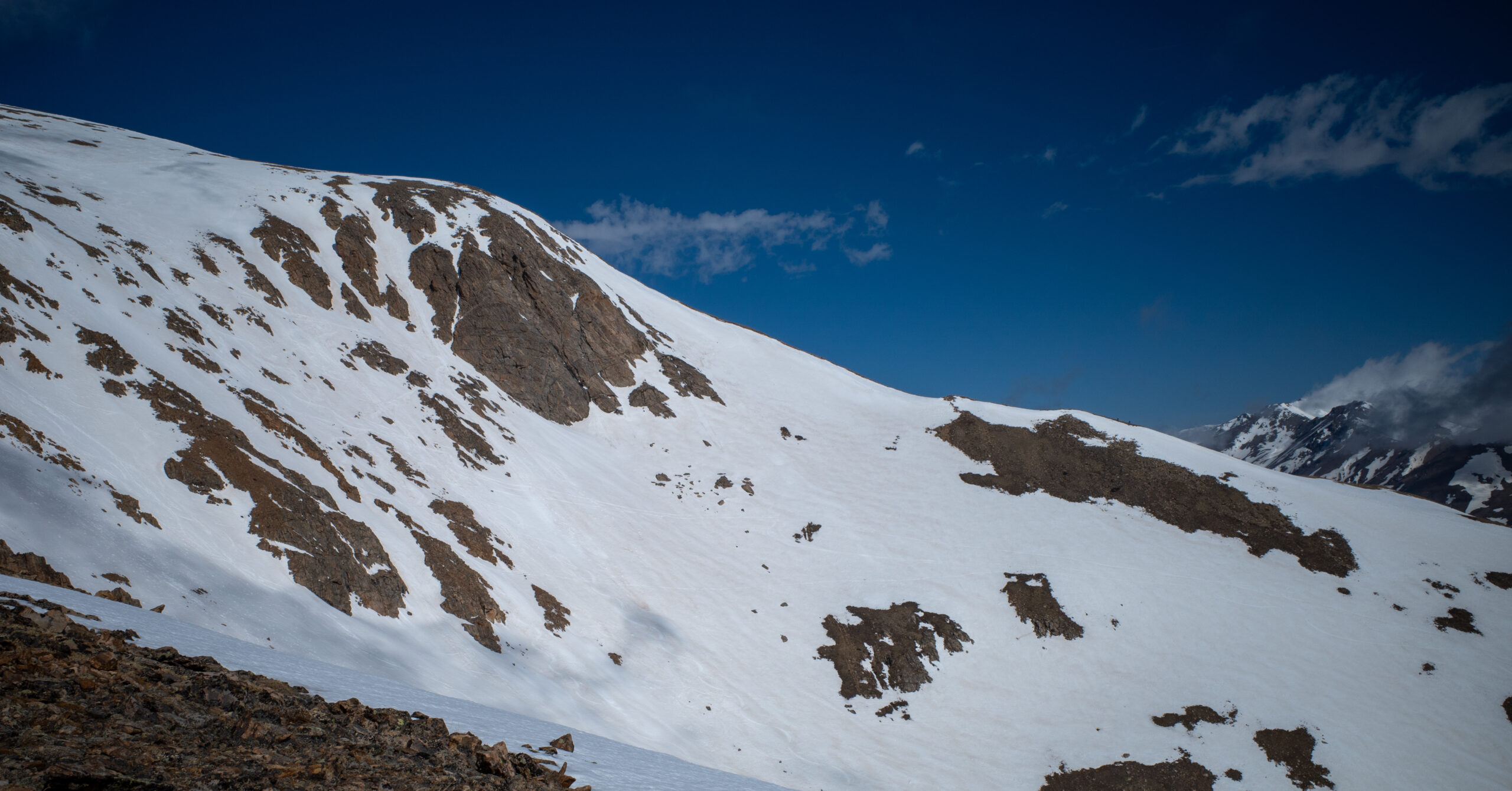
- Final summit push: Steep snow, short rock and scree breaks, and several discouraging false summits made the upper ridge feel longer than it looked.
- Descent: I initially moved quickly on the snow, then slowed dramatically as altitude-related symptoms, fatigue, low food intake, and limited water took over.
Trailhead, Road Access, and Dispersed Camping
| Official Trail | South Mount Elbert Trail #1481, the trail used by the commonly named East Ridge route |
|---|---|
| Standard Public Start | South Elbert Trailhead on Lake County Road 24 near Twin Lakes; the Forest Service overview also calls this lower access Shore Pretty Overlook |
| Lower Trailhead Road | The Forest Service directs visitors to the lower trailhead on Lake County Road 24 but does not publish live road conditions; current secondary trailhead guidance describes the lower access as suitable for passenger vehicles |
| Upper Access | Forest Service Road 125.B continues another 1.8 miles from the lower trailhead; the Forest Service describes four-wheel-drive access in summer and says the road is impassable to vehicles in winter |
| Parking | The Forest Service does not publish an official parking capacity for either lot; check current access information, arrive with a backup plan, and never block the road |
| Fee / Restroom / Water | The Forest Service lists no restroom or potable water and does not publish fee information for these lots |
| Land Manager | U.S. Forest Service, Leadville Ranger District, San Isabel National Forest |
| Land Designation | Mount Elbert Colorado Roadless Area, south of Mount Massive Wilderness; this guide does not assign a designated-wilderness taxonomy |
| Day-Hike Permit | No individual day-hike permit is listed; commercial and organized groups need advance authorization from the Leadville Ranger District |
| Current Closure Check | As checked August 13, 2026, South Mount Elbert Trail #1481 was not named in the reduced Willow Fire closure, and the Forest Service Mount Elbert overview displayed Site Open. The closure affected North Mount Elbert Trail #1484, while Lake County listed Halfmoon Road closed. Fire, smoke, evacuation, and road conditions can change quickly; check official alerts immediately before travel |
My road experience: We drove an AWD Honda CR-V-type vehicle on dirt roads that became progressively rockier farther into the forest. The vehicle handled the section we used when driven slowly. Rougher sections farther up appeared likely to require AWD or four-wheel drive and adequate ground clearance. This description applies only to the section we drove on our dispersed-camping approach, not to every road or spur in the area. The farther you can legally and safely drive or camp along this approach, the less road walking your day may include. Reaching the upper access would eliminate the camp-to-trail road walk shown on my map.
My camping experience: We used an existing dispersed site in the general area marked on the CalTopo map. The marker is placed roughly from memory and is not an exact GPS coordinate or a recommendation of one particular site. We saw many established-looking sites and short drive-in spurs both before and beyond that area. Many obvious options were occupied when we arrived late on Memorial Day weekend, but additional options continued farther up the road. Because the road became rougher as we drove farther, some of those options would likely require AWD or four-wheel drive and adequate ground clearance. Our site had no toilet, developed water, trash service, or other facilities.
Current camping rules: A Forest Service order in effect when this guide was checked limits camping on the Leadville Ranger District to 14 days within the same 20-mile radius during a continuous 30-day period and prohibits camping within 100 feet of water unless the site is developed or designated. Inside the defined Twin Lakes Recreation Area, camping is allowed only in developed recreation sites or designated dispersed sites. Verify your intended site against the current order, Motor Vehicle Use Map, posted signs, and district guidance rather than assuming that an existing fire ring is legal.
Food storage: A Forest Service order effective through June 5, 2028 unless rescinded regulates possessing or leaving food, refuse, cooking equipment, coolers, personal-care products, and other bear attractants. These items must be inside a hard-sided vehicle or camper, inside a securable container constructed of solid non-pliable material that meets the order’s specifications, suspended at least 10 feet above the ground and 4 feet from a tree, post, or other vertical support, or being eaten, prepared, or transported as the order allows. Check the current food-storage order for its complete terms and exceptions.
Fire restrictions: Stage 2 restrictions were active across the Leadville Ranger District on August 13, 2026, under an order scheduled through November 14 unless rescinded; Lake County separately remained under Stage 2 restrictions until further notice. Wood and charcoal fires were prohibited; only a liquid- or gas-fueled device that could be turned on and off was allowed in an area barren or cleared of flammable material for three feet. The order also restricted off-road parking unless the area was devoid of vegetation within 10 feet of the vehicle. This is a dated status, not a standing rule. Check the live Forest Service fire page before every trip.
Smoke and air quality: Lake County reported that the Willow Fire remained active and that smoke could reduce air quality. Check the current county fire status, linked smoke outlook, and AirNow conditions on the day of your hike; an open trail does not guarantee good air quality.
Human waste and trash: The official lower-access information lists no restroom, and no route-specific cathole or pack-out order was confirmed. Arrive with a waste-disposal plan, follow current signs and Leave No Trace guidance, and pack out all trash. Our private campsite had no trash or toilet service; facilities may differ elsewhere along the road network.
Cell service: I had service at camp and surprisingly retained it during much or all of the hike, including high on the mountain and at the summit. Do not rely on coverage because it worked for me once. Carry an offline map and a communication plan that still functions without a signal.
Route Guide
This describes the route as I encountered it in deep late-May snow. The CalTopo line is a memory-based reconstruction rather than the exact summer tread or a recorded GPS activity.
Road Walk and Trailhead
Our day began near the approximate camping area shown on the map rather than at the upper trail access, so the opening road approach is reconstructed from memory.
We woke around 4:00 a.m., ate a small breakfast, and began walking around 4:30. The first section followed a dirt road uphill from camp. I do not remember an obvious developed trailhead where we left the road and joined the hiking trail. The CalTopo reconstruction shows the approach as part of the 14.7-mi total, but it should not be read as a recorded track or an exact campsite location.
The road walk was nothing special and felt like a drag, particularly on the return. The farther you can legally and safely drive or camp along the approach, the less of that road walk you would need to cover on foot. If current road conditions and your vehicle are suitable, reaching the upper access would eliminate the camp-to-trail road walk shown on my map. The lower South Elbert Trailhead on Lake County Road 24 remains the standard public start. Either alternative produces different mileage from my approximate camp-based reconstruction, so do not reuse the 14.7-mi figure for an upper- or lower-trailhead itinerary.
Lower Forest
Below tree line, the trail was obvious and mostly uncomplicated despite mud and a few small wet crossings.
The lower route alternated between dirt single-track and wider tread. It followed a stream or river for part of the climb. Melting snow made some sections muddy, and a few very small wooden crossings or bog-bridge-like structures kept us above the wettest ground.
There were no major creek crossings during my hike. Snow appeared in the forest but remained limited enough that it was not the defining problem. The route was generally easy to follow here, and the early climb felt like an ordinary mountain trail rather than the exhausting snow travel that waited above.
Above Tree Line
Soft, nearly continuous snowfields turned a straightforward ridge into the defining physical and navigational challenge of the day.
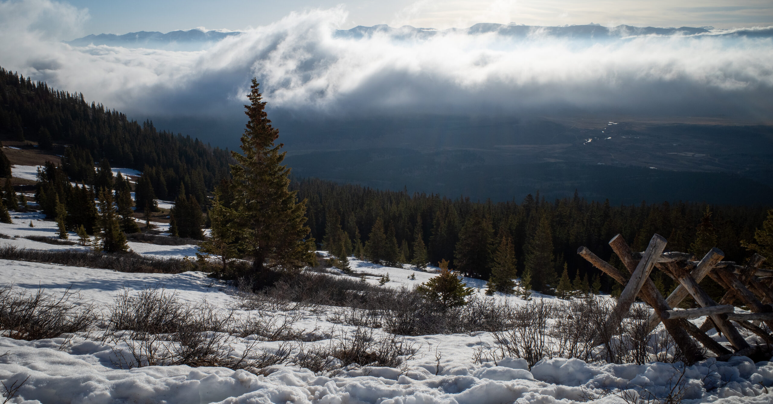
Snow became much more extensive after we climbed above tree line. It was slightly firmer early in the morning but never fully supportive. We were already postholing on the ascent, and the surface deteriorated as the day warmed.
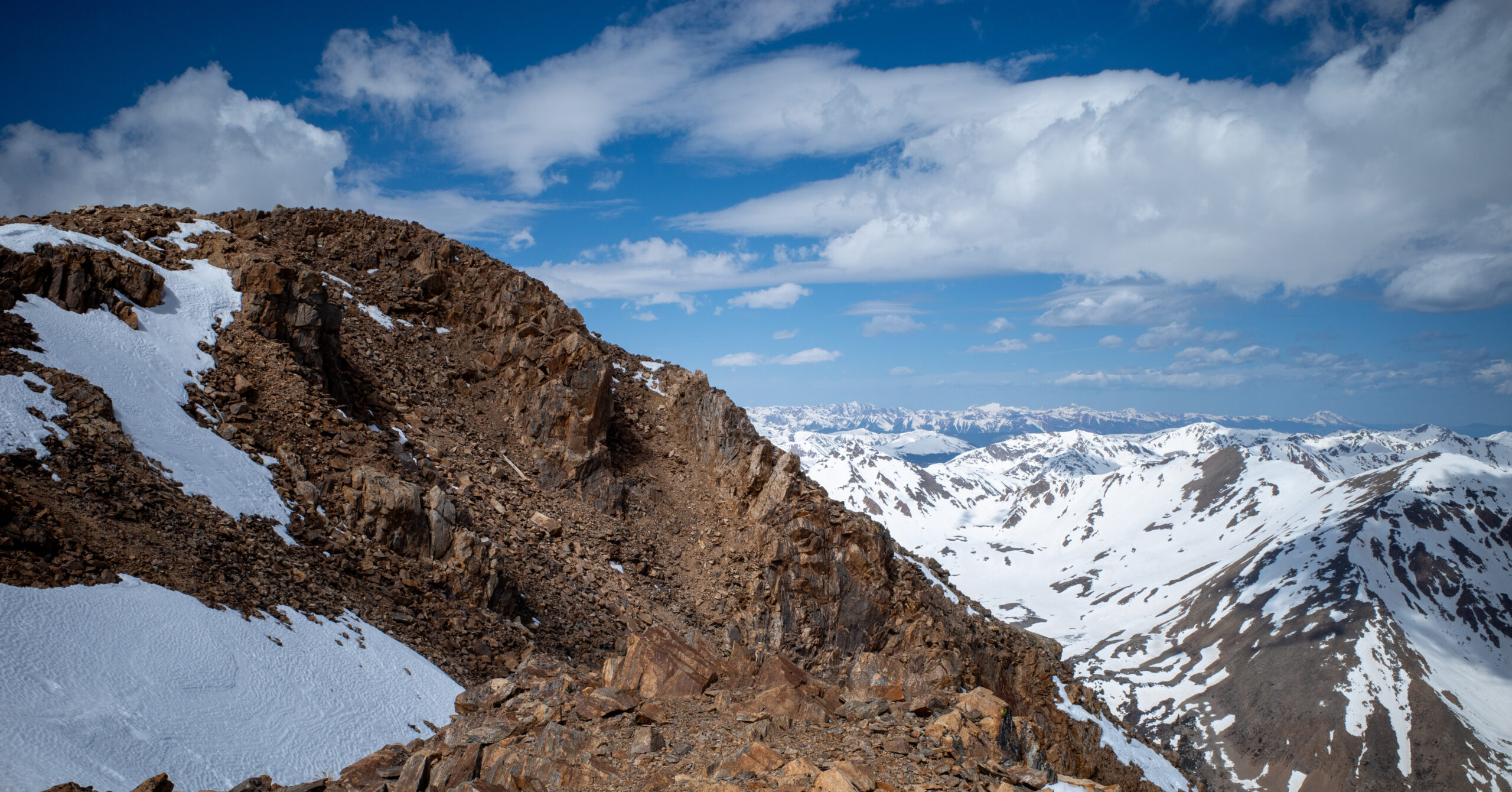
Long snowfields were interrupted by short sections of dirt, rock, or loose scree. We repeatedly sank to roughly knee depth. The problem was soft, rotten snow rather than a consistently icy walking surface.
We wore ordinary hiking boots and had no microspikes, snowshoes, trekking poles, or gaiters. Microspikes would not necessarily have solved the lack of support. Trekking poles likely would have improved balance. I cannot say whether snowshoes would have helped on those exact snowfields, and I would research current conditions and suitable flotation rather than prescribing them from hindsight.
I wore pants, sunglasses, sunscreen on my face, and a sun hoodie. Sun exposure was substantial above tree line, and reflected light from the snow increased the need for eye and skin protection.
Final Ridge and Summit
The upper ridge combined steep snow, short rocky breaks, heavy breathing, and several false summits before the broad top finally appeared.
The upper route included one or more false summits. I repeatedly hoped that the next rise would reveal the actual top. Snow dominated the highest terrain, with occasional rock and scree. At times I climbed almost directly uphill through snow instead of following what may have been a gentler summer alignment.
My breathing became extremely heavy, and my heart raced after only a few steps. I had to slow substantially as elevation and snow compounded each other. The final ascent was steep, exhausting, and mentally longer than it looked.
I reached the summit around 10:30 a.m., approximately six hours after leaving camp. A handful of people were there, most apparently from another route. Some had carried skis and were preparing to descend snow elsewhere on the mountain. The summit was not empty, but my route never felt crowded.
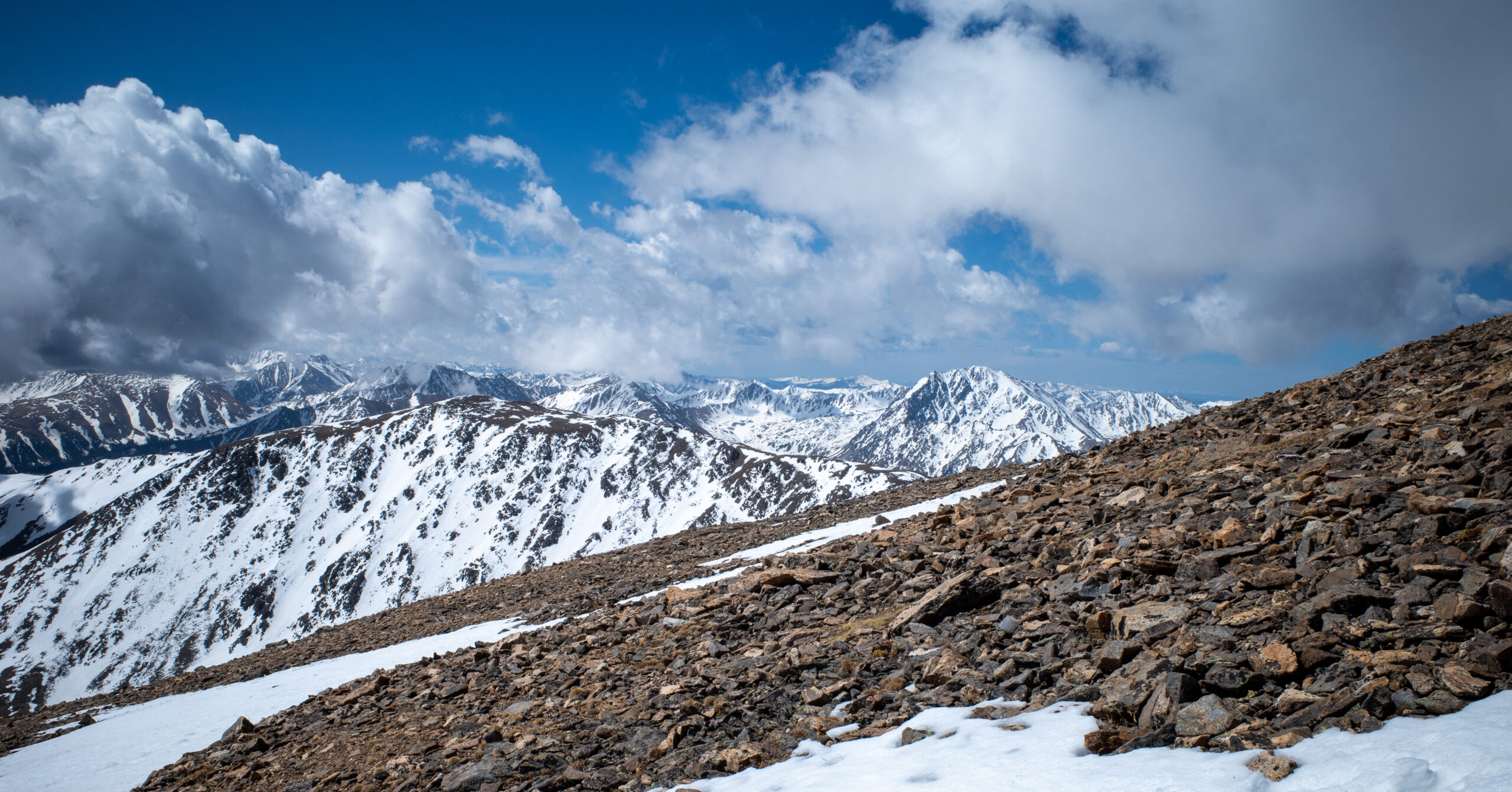
The broad 360-degree mountain view was unlike anything I had experienced on earlier hikes. Wind was noticeable but not extreme, and visibility was good that day. Realizing that I had finished my first 14er was the best moment of the hike and one of the most satisfying summit experiences I had reached.
Descent
A fast opening slide through the snow gave way to severe discomfort and an increasingly slow return to camp.
I initially descended quickly by gliding or sliding through steep snow while remaining on my feet. Soon after leaving the summit, a strong headache and nausea began. Lightheadedness, dizziness, irritability, and extreme fatigue followed, and my pace deteriorated quickly.
At the worst point, I was taking very small shuffling steps downhill. I expected the symptoms to improve immediately as I lost elevation, but they stayed fairly constant for much of the descent. I was also nearly out of water and rationed the small amount remaining because I knew the route back was still long.
We returned to camp around 2:30 to 3:00 p.m., approximately ten to ten and a half hours after starting.
Back at camp, I remained headachey, nauseous, exhausted, and uninterested in food. I drank water, rested, and napped. A more substantial meal later helped, but I did not feel fully normal until we drove to a lower elevation the following day.
Navigation Notes
The ridge provided a clear general direction, but snow repeatedly hid the exact summer trail and made following other tracks tempting.
The forest trail was obvious and generally easy to follow. Above tree line, snow obscured the tread in places. We often followed existing footprints, used cairns where visible, and kept the ridge direction in mind even when we were probably not on the exact trail.
At one point, a lower line and a higher line appeared to diverge. We followed the lower option, which later climbed steeply to reconnect with the higher route. Near the summit, I sometimes chose a direct uphill line through snow instead of searching for broader summer switchbacks.
The route would likely be easier to follow when snow-free, but that does not remove the need for a current map and offline navigation. Footprints can reflect someone else’s mistake, and a ridge that looks obvious can still contain consequential route choices in poor visibility.
Snow and Seasonal Considerations
Late May did not mean a mostly clear hiking trail in 2025, and another year’s Memorial Day snowpack may look completely different.
We underestimated how much snow remained above tree line. On this trip, it was already soft enough to posthole during the ascent and became increasingly rotten as temperatures rose. The long sections of knee-deep travel added effort, slowed navigation, and made the return more monotonous and unpleasant.
Do not treat my late May 2025 experience as a seasonal rule. The Forest Service describes South Mount Elbert Trail as the standard winter route, but that label does not mean simple travel whenever snow remains. Snow depth, overnight freeze, wind loading, aspect, temperature, and recent storms all matter. Check current South Mount Elbert reports, weather, and Colorado Avalanche Information Center information whenever snow remains on the mountain.
The important equipment question is not whether every late-spring hiker should carry one specific device. It is whether the chosen equipment matches the current surface. Traction addresses slippery firm snow or ice; it does not create flotation in deep rotten snow. Poles can improve balance, while flotation may or may not work well depending on coverage, terrain, and snow structure.
When both routes are open, I would compare current East Ridge and Northeast Ridge conditions before choosing. At this guide’s August 13, 2026 check, the Willow Fire closure affected North Mount Elbert Trail #1484 and Lake County listed Halfmoon Road closed, so the Northeast Ridge was not a current alternative. I could not verify a reliable general claim that it always receives enough additional sun to hold less snow, so recent route-specific reports matter more than a broad assumption about aspect.
Altitude, Hydration, and What Went Wrong
Altitude was the central problem on the descent, but limited acclimatization, hard exertion, too little water, inadequate food, and insufficient rest all made the day less forgiving.
Limited Acclimatization and Aggressive Pacing
Two and a half days around Denver did not leave me as acclimatized as that timeline might suggest.
Although I had already been in Colorado for a few days, those days were busy and did not include much rest or sleep. I was technically spending time at elevation, but I did not feel fully rested or well adjusted to it when I began the hike.
I also pushed the ascent too aggressively early in the day. Fitness at lower elevation did not protect me from the effect of climbing quickly into thin air. The increasingly heavy breathing and racing heart near the summit were clear reasons to slow down more than I did.
Too Little Water and Food
Approximately 2.5 liters and a small collection of trail snacks were not enough for my ten-hour snowbound day.
My food consisted mainly of peanut butter crackers, peanut butter packets, and beef jerky. I had eaten only a small breakfast. Once nausea became severe, I had little appetite, which made it harder to recover energy on the descent.
I was nearly out of water by the time the symptoms became severe and began rationing what remained. Water appeared along parts of the lower route, but I have not confirmed a reliable seasonal source. A filter would have provided a useful backup only if suitable flowing water was actually available.
I would personally carry at least four liters for a comparable attempt. That is a response to my own consumption and experience, not a universal quantity for every body, season, route start, or weather forecast.
Symptoms on the Descent
I understood the headache, nausea, dizziness, lightheadedness, irritability, and extreme fatigue as symptoms of altitude sickness, not as a formal diagnosis.
The symptoms became severe fairly quickly after I left the summit and persisted through much of the descent. They were serious and miserable, but I remained able to descend under my own power and did not need an evacuation or rescue.
I cannot assign one cause. Elevation, exertion, limited acclimatization, inadequate food and water, insufficient rest, and aggressive pacing were all plausible contributors. Dehydration alone should not be used to explain the full experience.
Altitude safety: The CDC’s current high-altitude guidance says not to ascend to a higher sleeping elevation while symptoms are present and to descend if symptoms worsen despite rest or treatment at the same elevation. Significant or worsening symptoms should not be ignored. This brief note is general information, not medical advice or a diagnosis of my experience.
What I Would Do Differently
I would hike Mount Elbert again, but I would change almost every logistical and physical decision that shaped this attempt.
- Allow more time for intentional acclimatization before attempting a 14er.
- Prioritize rest and sleep during those acclimatization days.
- Check current, route-specific snow and trail reports instead of assuming Memorial Day means a mostly clear ridge.
- When both routes are open, compare the East Ridge with the Northeast Ridge and other options before choosing only because one route is close to camp.
- Eat a substantially larger breakfast.
- Carry at least four liters of water for my own comparable attempt, adjusted for the actual route start and forecast.
- Bring a water filter as backup only where a usable source has been confirmed.
- Carry more substantial food and quick carbohydrates that remain easy to eat under effort.
- Pace the ascent more conservatively and respond earlier to heavy breathing and a racing heart.
- Carry trekking poles in comparable snow and research whether flotation or other snow equipment suits the exact conditions.
- Remember that reaching the summit is only half the hike.
I would keep the early start, the sun protection, and the willingness to slow down near the summit. I would not assume that those good choices cancel out limited acclimatization, insufficient rest, inadequate water and food, or incomplete research.
Is Mount Elbert Worth Hiking?
Yes. The summit view and satisfaction of completing my first 14er outweighed the miserable descent without erasing the mistakes that caused it.
Mount Elbert was potentially the hardest hike I had completed at that point. Much of that difficulty came from my late-May conditions and planning rather than from the ordinary snow-free East Ridge alone. Deep rotten snow, false summits, scree, a long summit push, and an unpleasant descent made the day feel relentless in places.
Under normal snow-free conditions, South Mount Elbert Trail and the East Ridge may be substantially more straightforward than my experience. It is still a long high-altitude climb. Calling Mount Elbert a possible first 14er does not mean every route, season, or preparation level is beginner-friendly.
I would not recommend repeating my exact late-May conditions as someone’s first 14er. I would recommend the mountain itself to a properly prepared hiker. I have no regrets about climbing it, and I would gladly return with more time to acclimatize and rest, a better route comparison, more water and food, and equipment selected for the current snow.
For another strenuous summit day, see my Giant Mountain and Rocky Peak Ridge guide. For a shorter summit hike with a much smaller commitment, see Mount Van Hoevenberg via the East Trail. A mountain’s reputation, mileage, and technical grade never replace an honest assessment of altitude, conditions, and the full return trip.
Photo Highlights
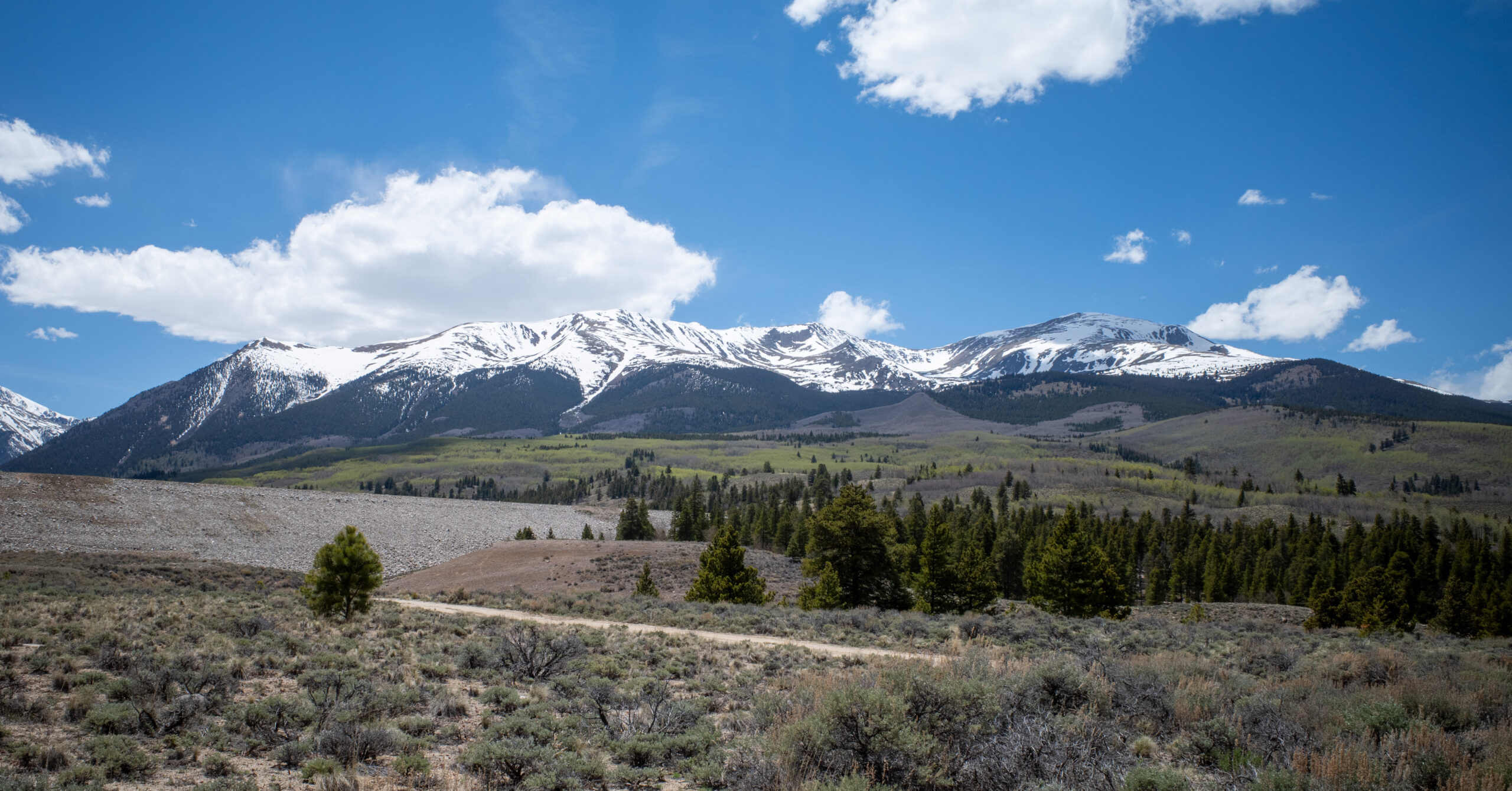
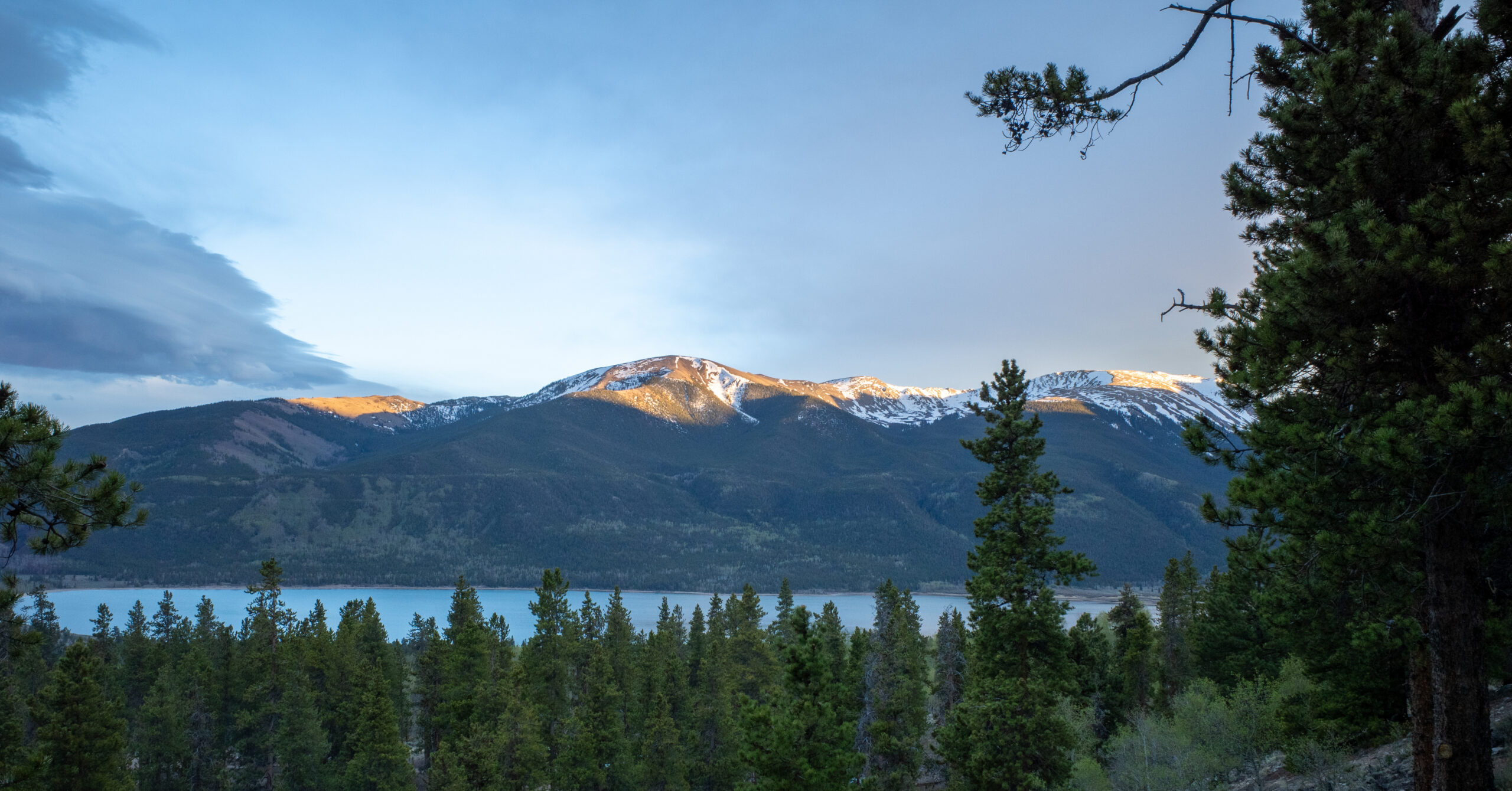
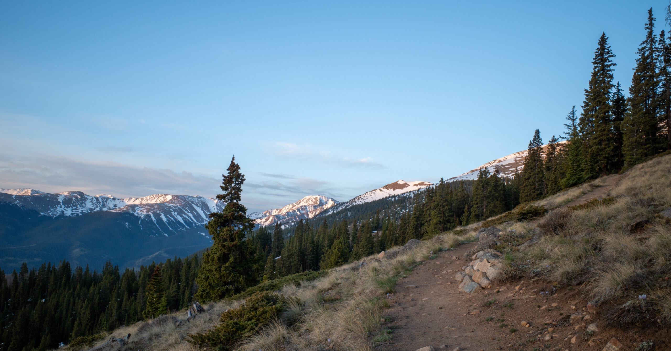
Ten frames follow the approach to camp, an evening above Twin Lakes, the snowy East Ridge ascent, the summit terrain, and the descent.