3-Day Backpacking Loop in Superstition Wilderness
Trip Snapshot
| Wilderness Area | Superstition Wilderness |
| Route Type | Loop |
| Distance | ~28 miles |
| Days | 3 |
| Elevation Gain | ~5,000–6,000 ft |
| Trip Date | February |
| Best Season | Winter / Early Spring |
| Water | Seasonal on Day 1; Hackberry Spring is reliable |
| Permit | Not Required |
| Solo Safety | Good |
Overview
A 3-day loop through the western Superstition Wilderness combining Peralta Trail, Dutchman Trail, Hackberry Spring, and Black Top Mesa.
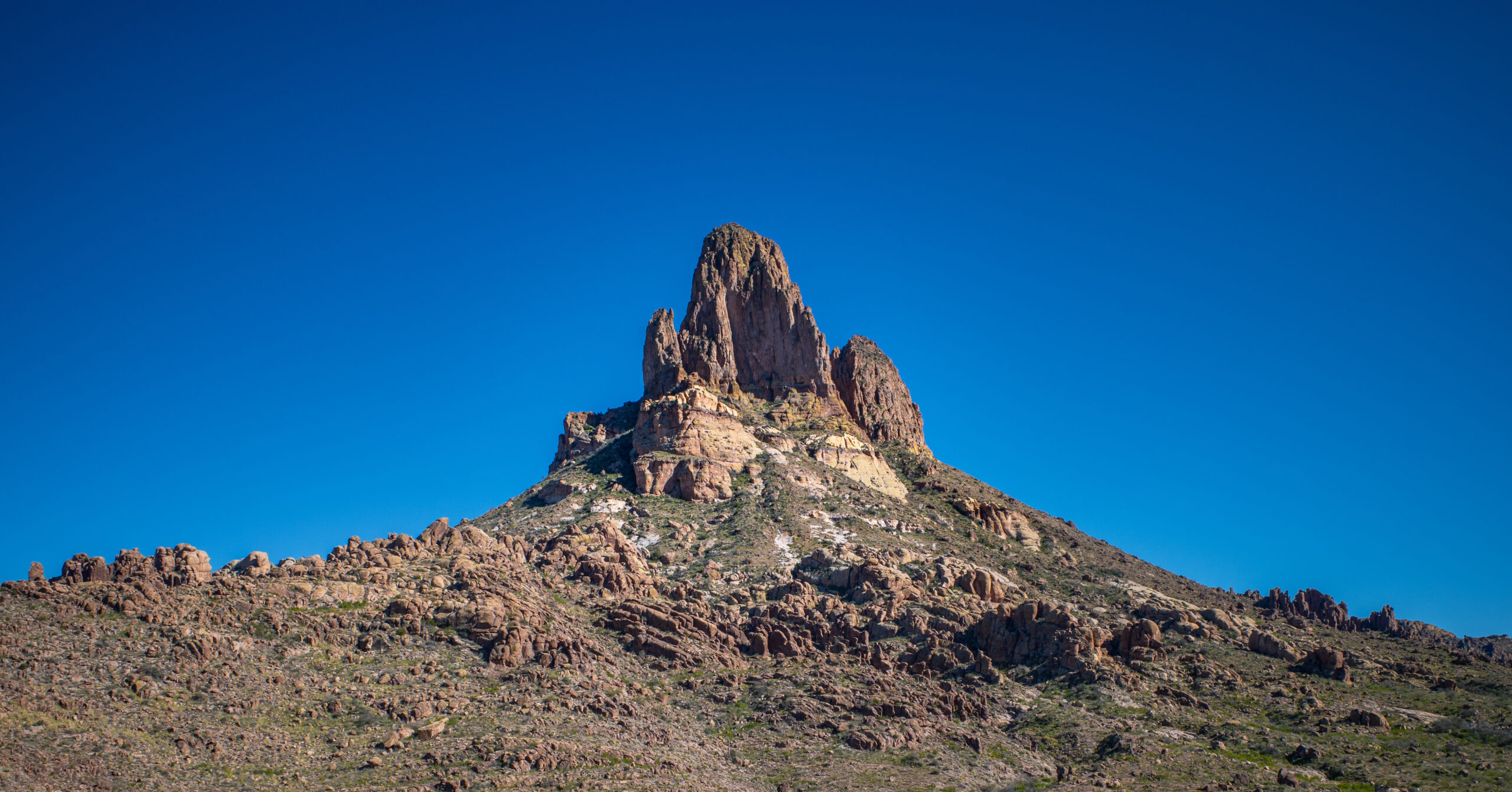
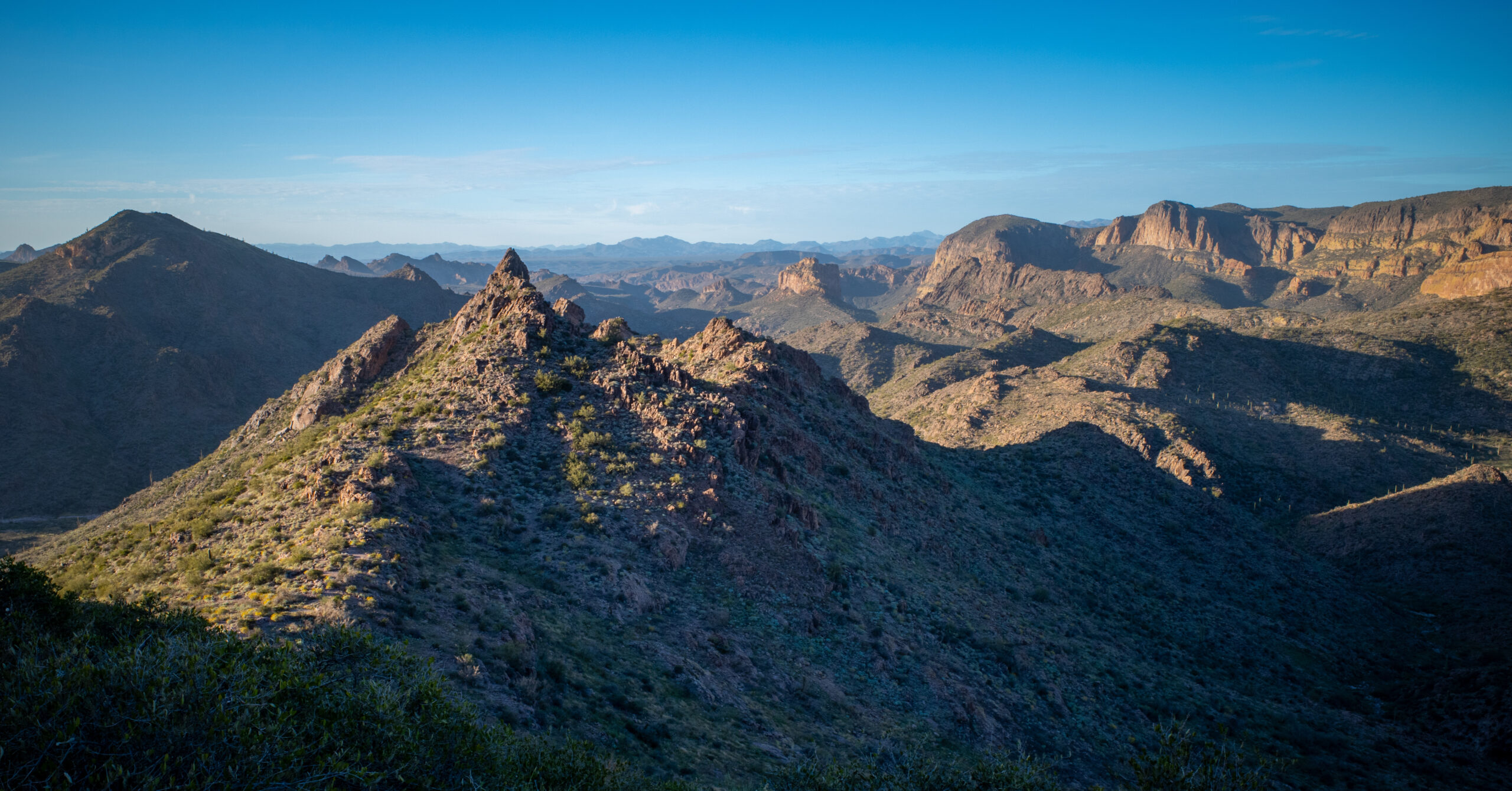
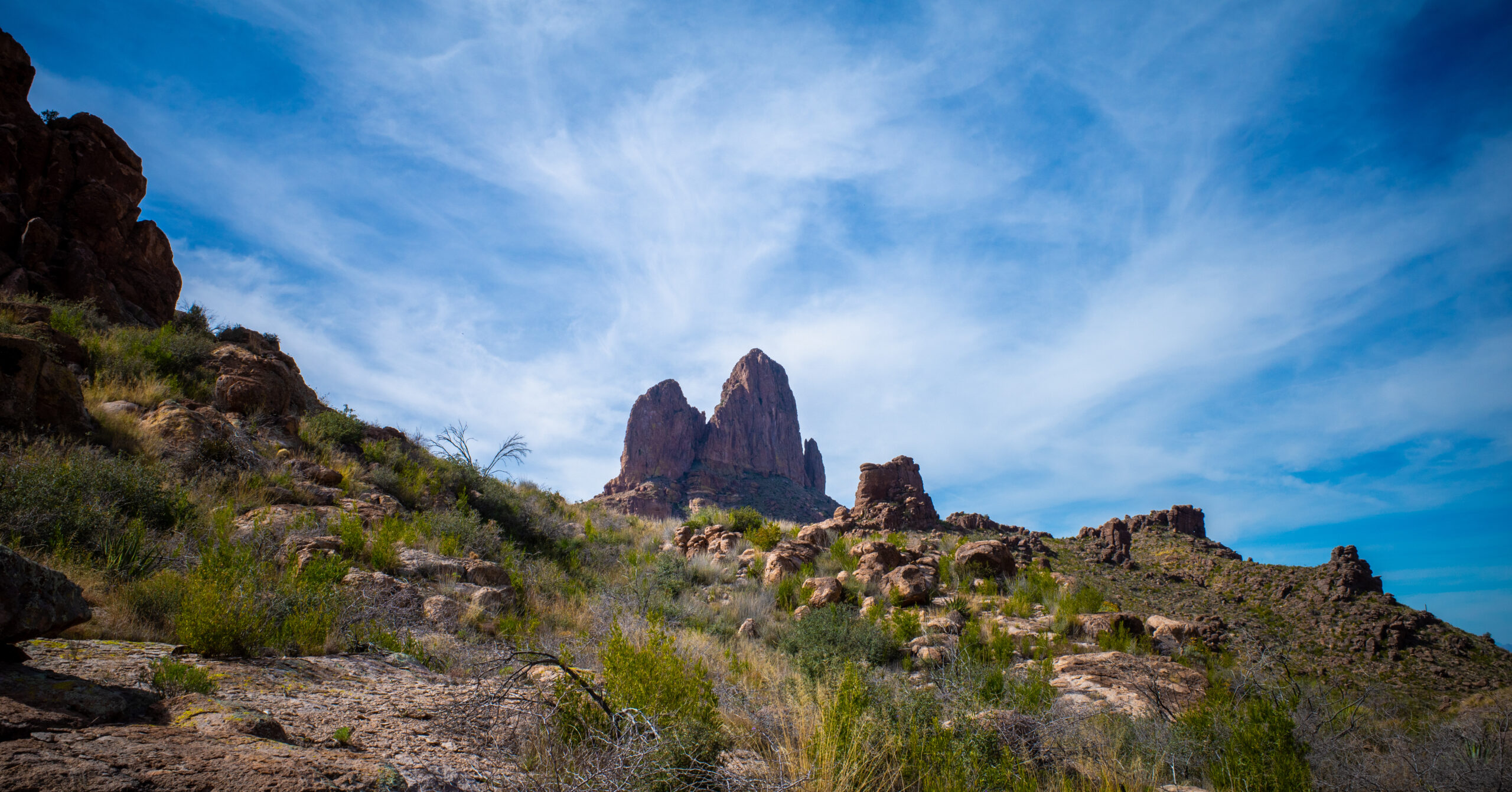
This route stands out for its constant and varied views of Weaver’s Needle, culminating in 360-degree views from the top of Black Top Mesa, one of the best vantage points in the Superstitions. The perspective changes throughout the hike, from canyon views near Fremont Saddle to wide-open desert basins and elevated mesa viewpoints, making it feel like a completely different experience each day.
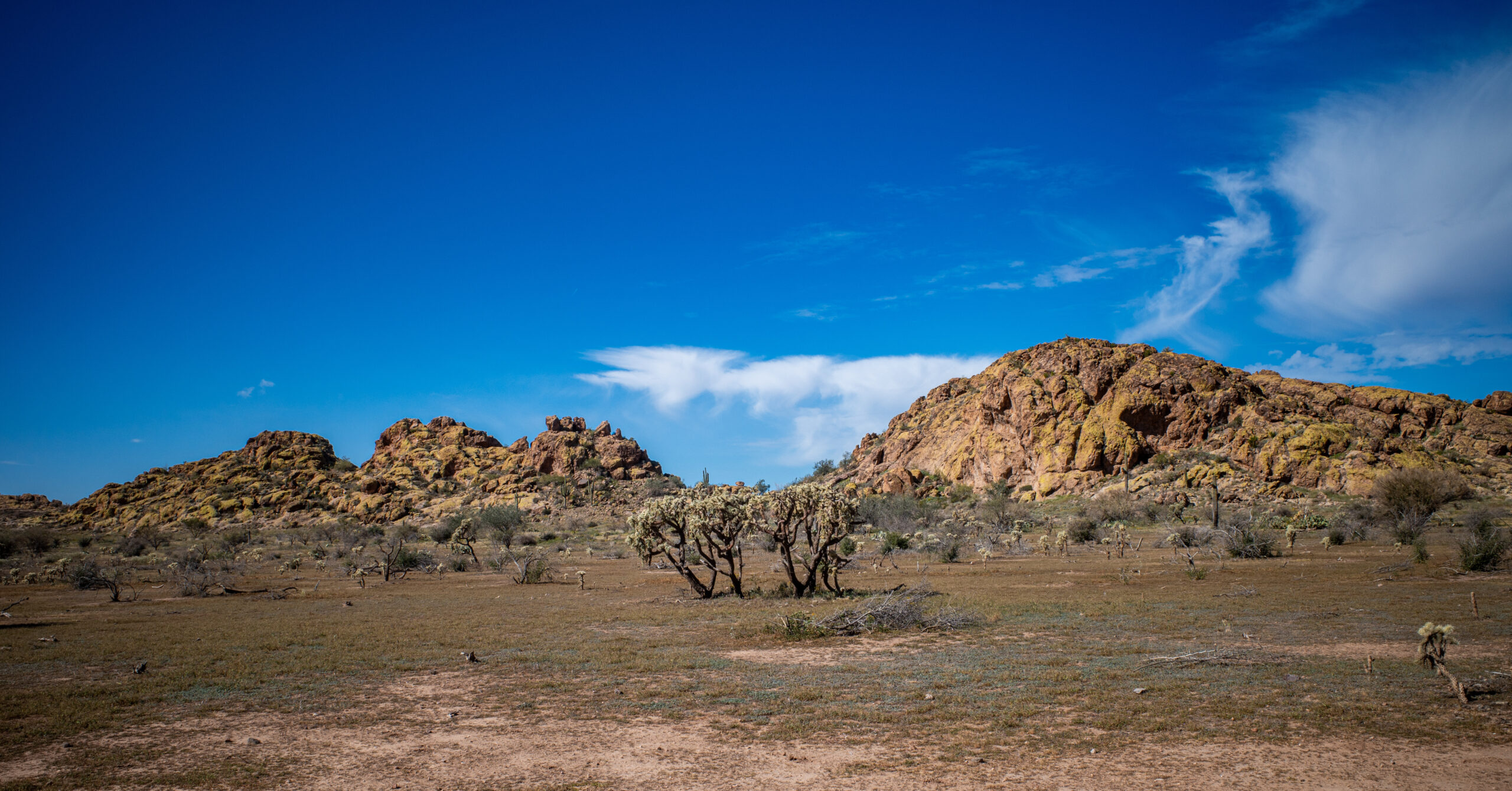
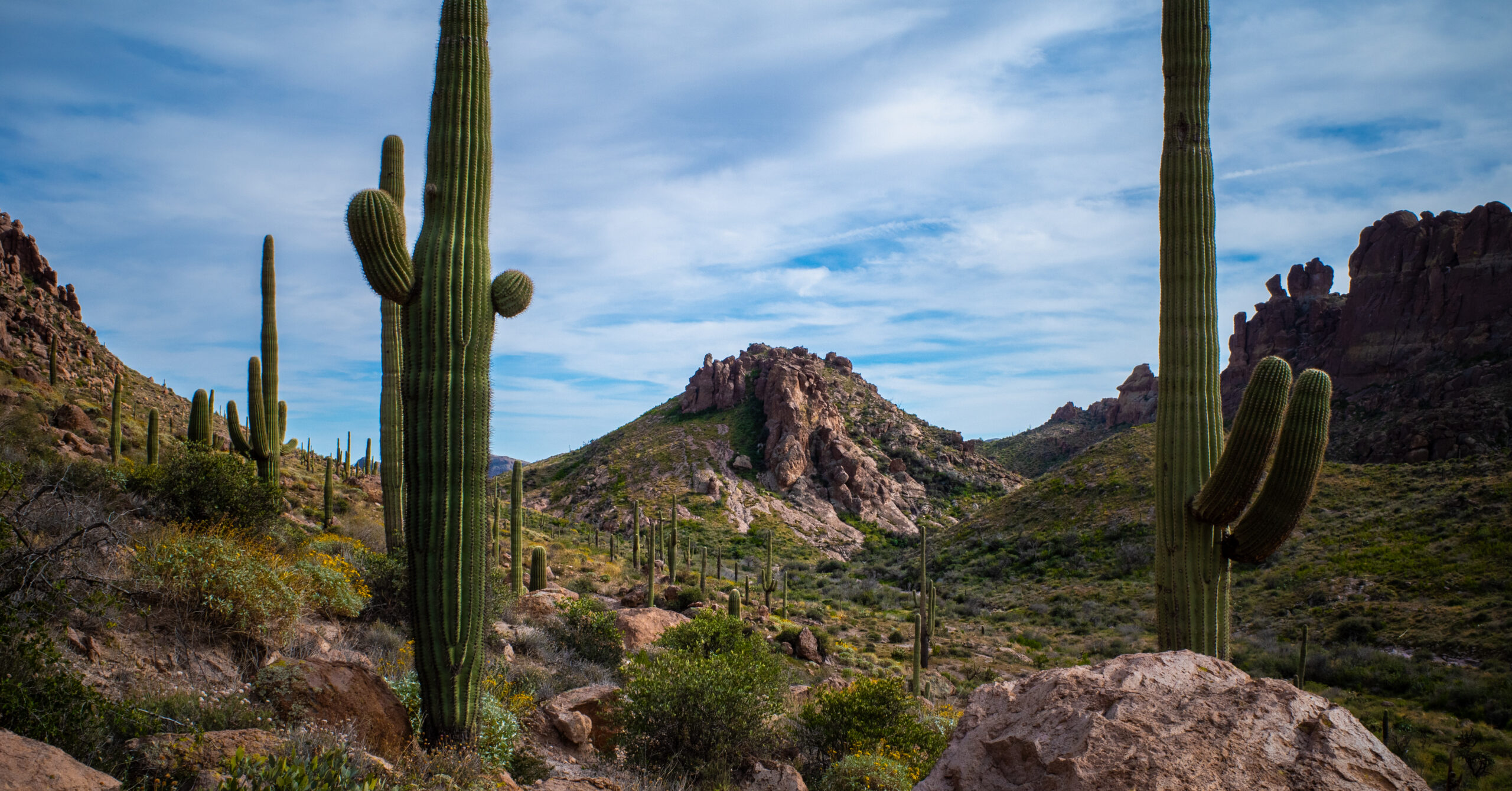
The hike begins with a steady climb to Fremont Saddle, a popular viewpoint with heavy day hiker traffic, but solitude increases significantly beyond this point. From there, the route transitions into quieter terrain with open desert walking, creekside sections along Dutchman Trail, and a remote basin camp.
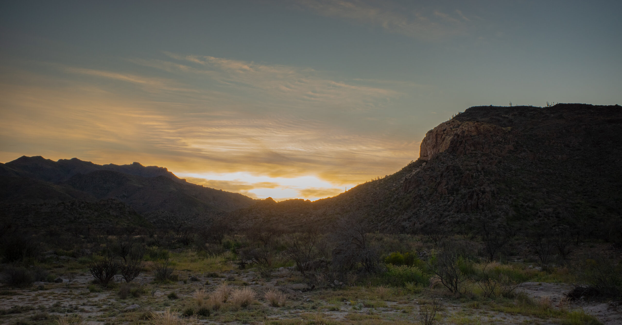
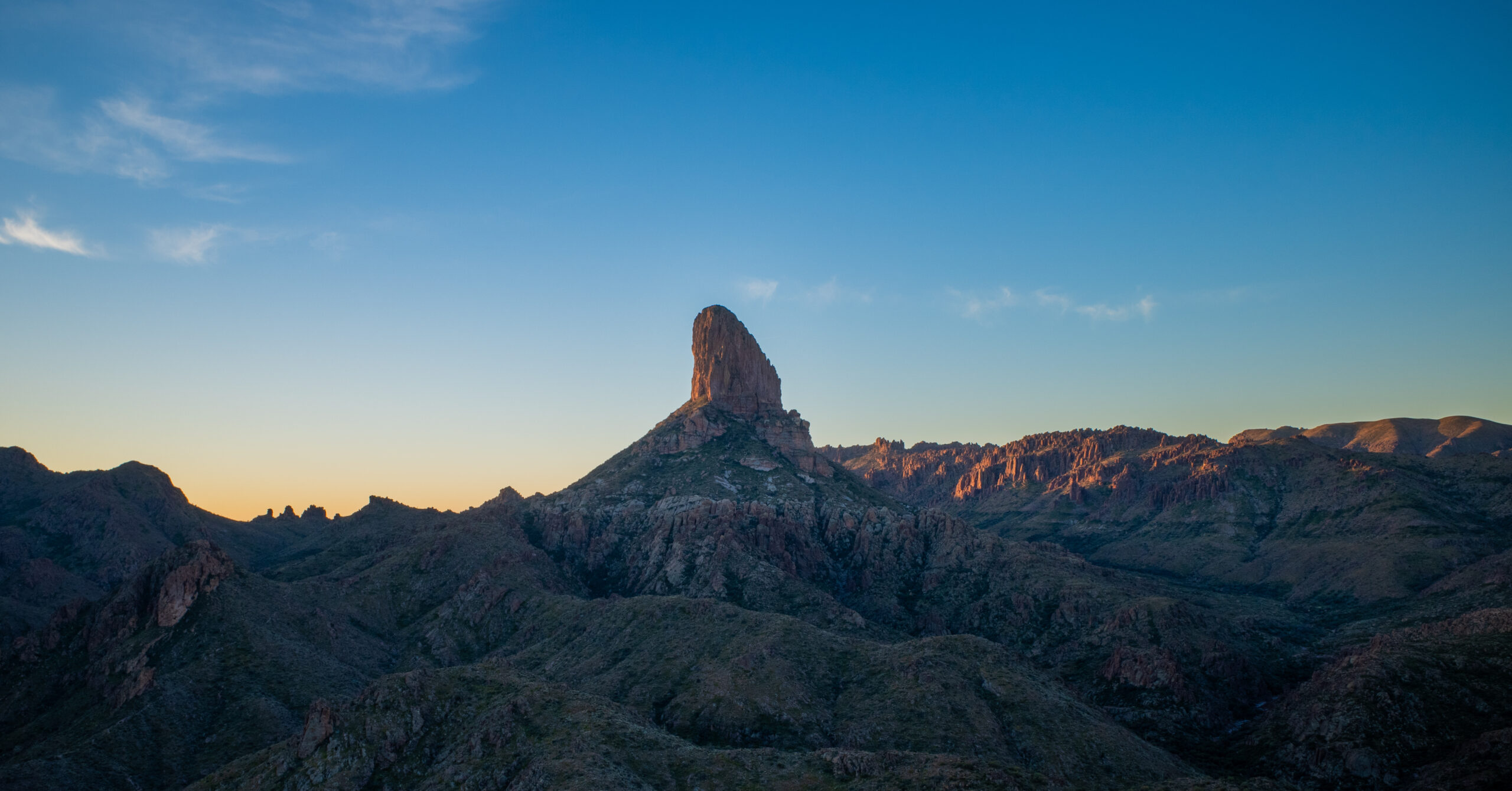
Day 2 is the longest and most complex, featuring a reliable water source at Hackberry Spring and a strenuous climb to Black Top Mesa. The effort is rewarded with one of the most scenic campsites of the loop, with expansive sunset and sunrise views over Weaver’s Needle and the surrounding desert.
The final day links together Bull Pass Trail, Dutchman Trail, Terrapin Trail, and Bluff Spring Trail, with some of the most surprisingly lush terrain of the trip and continued views of Weaver’s Needle from new angles.
While many highlights in the Superstitions can be reached via day hikes, this loop is especially rewarding as a backpacking route, connecting multiple distinct areas into a cohesive experience with varied terrain, strong campsite options, and consistent scenic payoff.
[Map + GPX coming soon]
Route Guide
Figure-8 style loop centered around Weaver’s Needle, Hackberry Spring, and Black Top Mesa.
Day 1 (~7.2 mi, +1,500 ft / -1,650 ft)
Route
- Follow Peralta Trail to its junction with Dutchman Trail
- Turn left and continue east on Dutchman Trail
- The trail follows a creek for a stretch after joining Dutchman
- Continue past the Bull Pass Trail intersection and the Boulder Trail intersection shortly after
- Reach a broad desert basin near the southern trailhead of Black Mesa Trail
Water Sources
After joining Dutchman Trail, the route follows a creek with multiple visible pools
Most of these are not easy to access from the trail
Roughly halfway to the Bull Pass Trail intersection, I found an easily accessible section of lightly flowing water where I filled up
This was the only reliable water I encountered on Day 1
Note: This was in February following recent rain, so availability is likely seasonal and not guaranteed
Camping
Camping is available in a broad desert basin near the southern trailhead of Black Mesa Trail
I camped in a large, well-established campsite with plenty of flat ground and space for multiple tents
Note: This is a dry campsite
There are likely additional options in the area, but I did not specifically scout beyond the main site
Open views in all directions, with surrounding rock formations and good evening light
There is also one notable established campsite along Dutchman Trail on the approach to the basin (after the water source), including a spot with views of Weaver’s Needle
Day 2 (~12.0 mi, +2,460 ft / -1,390 ft)
Route
- Start from the basin and take Black Mesa Trail north
- Continue to the multi-trail junction with Second Water Trail and Hackberry Spring Trail
- Turn onto Hackberry Spring Trail and descend toward Hackberry Spring
- Continue past Hackberry Spring toward the old abandoned stable area
- At the cluster of intersections near the stable, bear right (southwest) toward First Water Trailhead
- Follow Dutchman Trail east back toward the basin from Day 1
- Continue past the Boulder Trail intersection and reach Bull Pass Trail shortly after
- Turn onto Bull Pass Trail and climb north
- Take the spur trail to the top of Black Top Mesa
Water Sources
Hackberry Spring is the main reliable water source on this route and is generally considered to be available year-round
The spring sits at the base of a steep canyon wall / cliff face, where the trail wraps around the rock formation
Water collects at the base of the wall and is easy to access
This is the best place to fill up before camping at the top of Black Top Mesa
Camping
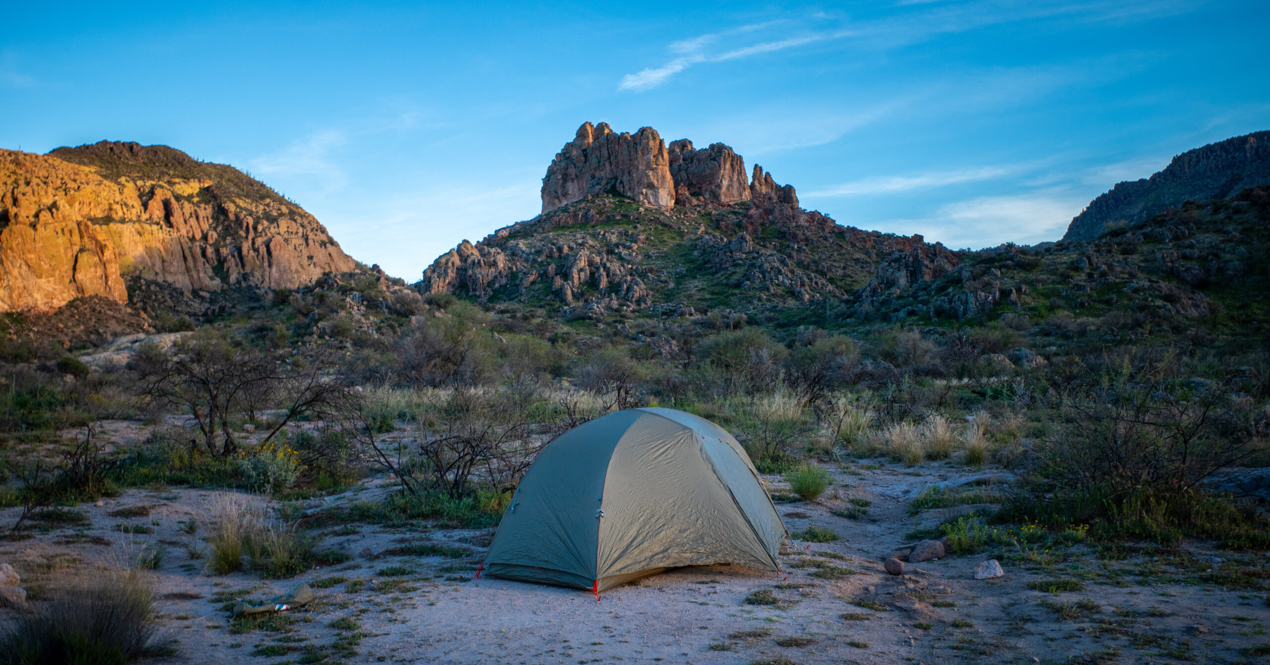
The top of Black Top Mesa has excellent camping with expansive views of Weaver’s Needle and the surrounding canyons
This is the best campsite of the route in terms of scenery and overall experience
Note: This is a dry campsite
Day 3 (~8.2 mi, +1,650 ft / -2,600 ft)
Route
- Descend from Black Top Mesa via the spur trail
- Return to Bull Pass Trail and head south
- Rejoin Dutchman Trail and continue toward the Peralta area
- Continue past the Peralta Trail junction to Terrapin Trail
- Turn right onto Terrapin Trail
- Connect to Bluff Spring Trail
- Follow Bluff Spring Trail back to Peralta Trailhead
Water Sources
The most reliable water option is the same flowing section along Dutchman Trail encountered on Day 1
This is the best place to refill if needed before finishing the loop
There was also a small pool of water near the intersection with Bluff Spring Trail, but this felt less reliable
From the Bluff Spring Trail junction, a short detour north leads to Bluff Spring, which is generally considered a reliable year-round water source
Navigation Notes
Navigation is generally straightforward but requires attention in a few key areas.
The trail is easy to follow on Peralta Trail up to Fremont Saddle, but becomes less defined in sections beyond that point, especially as you continue toward Dutchman Trail. There are a few areas where the trail briefly fades or becomes braided, and it’s possible to lose it if you’re not paying attention.
The Dutchman Trail is mostly easy to follow, but there are sections where the path is faint or crosses washes, requiring you to stay aware of the general direction of travel. Carrying a map or GPS is strongly recommended.
The area around the Terrapin Trail and Bluff Spring Trail junctions on Day 3 can also be confusing. The trail becomes less distinct in places, and it’s easy to misread the terrain or follow what appears to be a path that quickly deteriorates.
Overall, navigation is not highly technical, but this is not a route where you can completely switch off. Staying aware of the terrain and checking your position periodically will help avoid unnecessary detours.
Seasonal Considerations
This route is best completed in winter or early spring.
Temperatures in the Superstitions can be extreme outside of these seasons, and much of the route is exposed with limited shade. Winter and early spring offer the most comfortable hiking conditions and the best chance of finding water.
Water availability is highly variable and depends on recent rainfall. The creek along Dutchman Trail on Day 1 had flowing water during this trip, but this should not be assumed in drier conditions. Hackberry Spring is generally considered reliable year-round and is the most dependable source on the route.
Insects were noticeable at dusk near camp on Day 1, but activity dropped off significantly after dark.
Wind exposure varies depending on location. Lower elevations and basin camps were calm, while the top of Black Top Mesa experienced occasional gusts overnight. Camps at higher elevations are more exposed.
Overall, planning around temperature, water availability, and sun exposure is key to having a good experience on this route.
Is This Worth Backpacking?
Yes, this is absolutely worth backpacking.
The route delivers consistently beautiful terrain, with constantly changing views of Weaver’s Needle and a standout campsite on Black Top Mesa offering full 360-degree views. Once past Fremont Saddle, crowds drop off significantly and the hike feels quiet and remote for most of the loop.
That said, this is not a completely “set-it-and-forget-it” route. Water availability requires some planning, especially outside of winter or recent rain, and both Day 1 and Day 2 involve dry camps. Navigation is generally straightforward but there are sections where the trail becomes faint or easy to lose, so paying attention to the map and surrounding topography is important.
If you’re comfortable managing water and staying oriented, this is one of the more rewarding backpacking loops in the Superstitions and a great way to link together several of the range’s best features into a single trip.